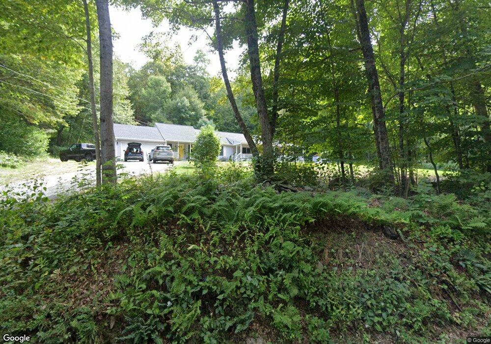
206 Butler Rd Monson, MA 01057
Estimated Value: $465,000 - $570,000
3
Beds
3
Baths
2,240
Sq Ft
$230/Sq Ft
Est. Value
About This Home
This home is located at 206 Butler Rd, Monson, MA 01057 and is currently estimated at $514,565, approximately $229 per square foot. 206 Butler Rd is a home located in Hampden County with nearby schools including Quarry Hill Community School, Granite Valley School, and Monson High School.
Ownership History
Date
Name
Owned For
Owner Type
Purchase Details
Closed on
Apr 4, 2007
Sold by
Northup Brent and Northup Kristine
Bought by
Northup Brent and Northup Kristine
Current Estimated Value
Home Financials for this Owner
Home Financials are based on the most recent Mortgage that was taken out on this home.
Original Mortgage
$172,000
Interest Rate
6.25%
Mortgage Type
Purchase Money Mortgage
Purchase Details
Closed on
Oct 8, 1992
Sold by
Campbell Ronald and Campbell Mary A
Bought by
Silk Barbara A and Silk John
Create a Home Valuation Report for This Property
The Home Valuation Report is an in-depth analysis detailing your home's value as well as a comparison with similar homes in the area
Home Values in the Area
Average Home Value in this Area
Purchase History
| Date | Buyer | Sale Price | Title Company |
|---|---|---|---|
| Northup Brent | -- | -- | |
| Silk Barbara A | $36,900 | -- |
Source: Public Records
Mortgage History
| Date | Status | Borrower | Loan Amount |
|---|---|---|---|
| Open | Silk Barbara A | $173,150 | |
| Closed | Northup Brent | $172,000 |
Source: Public Records
Tax History Compared to Growth
Tax History
| Year | Tax Paid | Tax Assessment Tax Assessment Total Assessment is a certain percentage of the fair market value that is determined by local assessors to be the total taxable value of land and additions on the property. | Land | Improvement |
|---|---|---|---|---|
| 2025 | $6,086 | $409,300 | $72,100 | $337,200 |
| 2024 | $5,950 | $383,900 | $72,100 | $311,800 |
| 2023 | $5,662 | $357,000 | $72,100 | $284,900 |
| 2022 | $5,108 | $302,800 | $72,100 | $230,700 |
| 2021 | $5,108 | $281,900 | $72,100 | $209,800 |
| 2020 | $5,150 | $281,900 | $72,100 | $209,800 |
| 2019 | $25 | $268,500 | $72,100 | $196,400 |
| 2018 | $4,734 | $269,000 | $79,600 | $189,400 |
| 2017 | $4,511 | $259,100 | $76,300 | $182,800 |
| 2016 | $4,511 | $263,500 | $76,400 | $187,100 |
| 2015 | $4,393 | $263,500 | $76,400 | $187,100 |
| 2014 | $4,269 | $263,500 | $76,400 | $187,100 |
Source: Public Records
Map
Nearby Homes
- 59 St Germain Rd
- 89 Crow Hill Rd
- 285 Lower Hampden Rd
- 179 Bumstead Rd
- 96 Stafford Hollow Rd
- 24 Ash St
- 10 Ash St
- Lot 2R &3 Chapin Rd
- 0 Stony Ln
- 150 Stafford Hollow Rd
- 179 Chapin Rd
- 58 Rocky Dundee Rd
- 201 Diamond Ledge Rd
- 19 Potter Rd
- 8 S Ridge Rd
- Lot 16 Wood Hill Rd
- Lot D South Rd
- 221 Moulton Hill Rd
- 283 Leonard Rd
- 186 Upper Hampden Rd