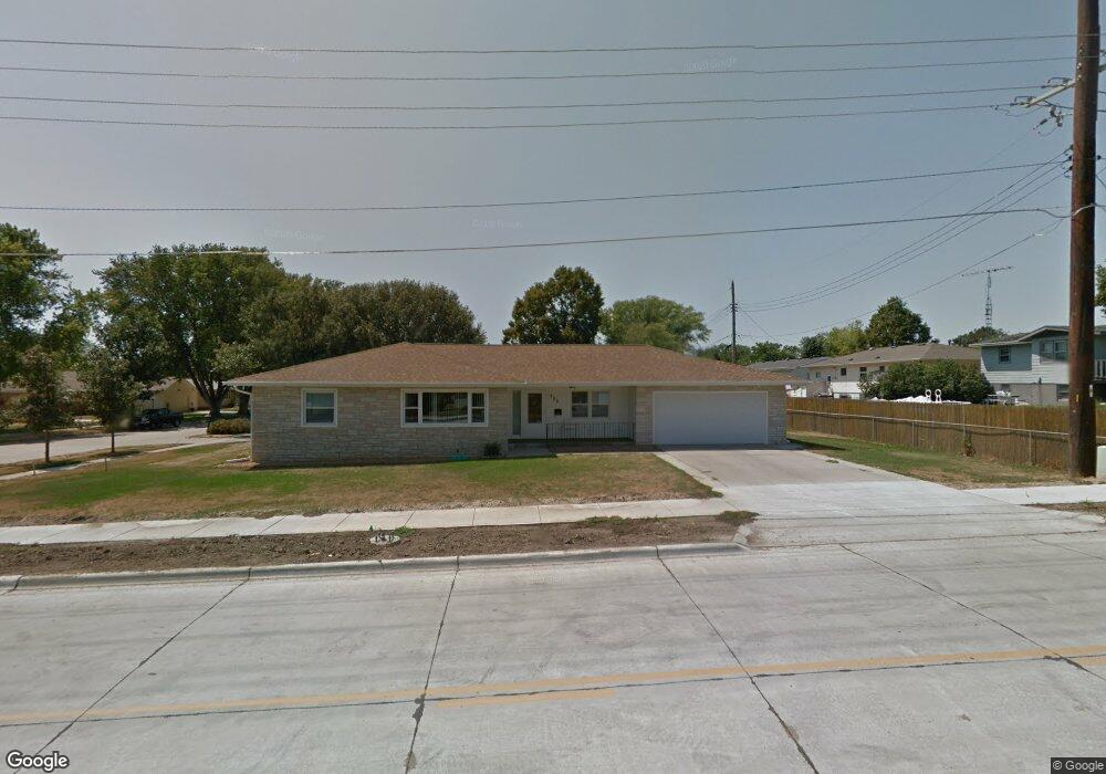
206 S 25th St Norfolk, NE 68701
Estimated Value: $253,002 - $304,000
3
Beds
2
Baths
1,812
Sq Ft
$159/Sq Ft
Est. Value
About This Home
This home is located at 206 S 25th St, Norfolk, NE 68701 and is currently estimated at $287,751, approximately $158 per square foot. 206 S 25th St is a home located in Madison County with nearby schools including Norfolk Senior High School, Norfolk Catholic School, and Sacred Heart Elementary School.
Ownership History
Date
Name
Owned For
Owner Type
Purchase Details
Closed on
Oct 8, 2024
Sold by
Leuthold Jeanette J
Bought by
Robinson Arlette R and Leuthold Travis A
Current Estimated Value
Purchase Details
Closed on
Aug 17, 2010
Sold by
Nurnberg Harry
Bought by
Leuthold Arlyn A and Leuthold Jeanette J
Home Financials for this Owner
Home Financials are based on the most recent Mortgage that was taken out on this home.
Original Mortgage
$64,000
Interest Rate
4.54%
Mortgage Type
Future Advance Clause Open End Mortgage
Create a Home Valuation Report for This Property
The Home Valuation Report is an in-depth analysis detailing your home's value as well as a comparison with similar homes in the area
Home Values in the Area
Average Home Value in this Area
Purchase History
| Date | Buyer | Sale Price | Title Company |
|---|---|---|---|
| Robinson Arlette R | -- | None Listed On Document | |
| Leuthold Arlyn A | $84,000 | None Available |
Source: Public Records
Mortgage History
| Date | Status | Borrower | Loan Amount |
|---|---|---|---|
| Previous Owner | Leuthold Arlyn A | $64,000 |
Source: Public Records
Tax History Compared to Growth
Tax History
| Year | Tax Paid | Tax Assessment Tax Assessment Total Assessment is a certain percentage of the fair market value that is determined by local assessors to be the total taxable value of land and additions on the property. | Land | Improvement |
|---|---|---|---|---|
| 2024 | $47 | $227,289 | $16,363 | $210,926 |
| 2023 | $3,880 | $209,873 | $16,363 | $193,510 |
| 2022 | $2,511 | $189,140 | $16,363 | $172,777 |
| 2021 | $1,405 | $174,874 | $16,363 | $158,511 |
| 2020 | $2,641 | $174,874 | $16,363 | $158,511 |
| 2019 | $1,127 | $161,786 | $16,363 | $145,423 |
| 2018 | $3,022 | $160,873 | $22,440 | $138,433 |
| 2017 | $2,842 | $151,083 | $22,440 | $128,643 |
| 2016 | $1,860 | $98,676 | $11,401 | $87,275 |
| 2015 | $1,860 | $98,676 | $11,401 | $87,275 |
| 2014 | $1,835 | $94,520 | $11,401 | $83,119 |
| 2013 | $1,785 | $89,082 | $11,401 | $77,681 |
Source: Public Records
Map
Nearby Homes
- 2508 Westside Ave
- 2510 Westside Ave
- 1703 Miles Dr
- 1613 Miles Dr
- 1607 Miles Dr
- 1609 Miles Dr
- 1601 Miles Dr
- 1605 Miles Dr
- 2604 W Cooper Dr**
- 2500 W Cooper Dr **
- 2109 W Prospect Ave
- 2102 Sunset Ave
- 2301 Random Rd
- 2005 Koenigstein Ave
- 2005 Sunset Ave
- 507 Valley Rd
- 105 19th Dr
- 1809 W Taylor Ave
- 908 Ferguson Dr
- 2500 W Pasewalk
- 205 S 25th St
- 2502 Westside Ave
- 2416 Westside Ave
- 2501 W Madison Ave
- 2503 W Madison Ave
- 203 S 25th St
- 300 S 25th St
- 2504 Westside Ave
- 2419 W Madison Ave
- 2414 Westside Ave
- 2505 W Madison Ave
- 2503 Westside Ave
- 2417 W Madison Ave
- 2506 Westside Ave
- 2505 Westside Ave
- 2412 Westside Ave
- 2417 Westside Ave
- 2507 W Madison Ave
- 2415 Westside Ave
- 2507 Westside Ave