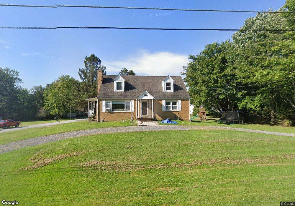
20653 Baird Ave Meadville, PA 16335
Estimated Value: $167,648 - $243,000
4
Beds
2
Baths
1,820
Sq Ft
$119/Sq Ft
Est. Value
About This Home
This home is located at 20653 Baird Ave, Meadville, PA 16335 and is currently estimated at $217,412, approximately $119 per square foot. 20653 Baird Ave is a home located in Crawford County with nearby schools including Neason Hill Elementary School, Meadville Middle School, and Meadville Area Senior High School.
Ownership History
Date
Name
Owned For
Owner Type
Purchase Details
Closed on
Aug 29, 2013
Sold by
Staudt Amanda L and Esmond Amanda L
Bought by
Esmond Matthew R and Esmond Amanda L
Current Estimated Value
Home Financials for this Owner
Home Financials are based on the most recent Mortgage that was taken out on this home.
Original Mortgage
$91,655
Outstanding Balance
$23,376
Interest Rate
4.34%
Mortgage Type
New Conventional
Estimated Equity
$194,036
Purchase Details
Closed on
Mar 10, 2010
Sold by
Peters Mary Lynne and Estate Of Thomas J Peters
Bought by
Staudt Amanda L and Esmond Matthew R
Home Financials for this Owner
Home Financials are based on the most recent Mortgage that was taken out on this home.
Original Mortgage
$95,950
Interest Rate
5.05%
Mortgage Type
New Conventional
Create a Home Valuation Report for This Property
The Home Valuation Report is an in-depth analysis detailing your home's value as well as a comparison with similar homes in the area
Home Values in the Area
Average Home Value in this Area
Purchase History
| Date | Buyer | Sale Price | Title Company |
|---|---|---|---|
| Esmond Matthew R | -- | None Available | |
| Staudt Amanda L | $101,000 | None Available |
Source: Public Records
Mortgage History
| Date | Status | Borrower | Loan Amount |
|---|---|---|---|
| Open | Esmond Matthew R | $91,655 | |
| Closed | Staudt Amanda L | $95,950 |
Source: Public Records
Tax History Compared to Growth
Tax History
| Year | Tax Paid | Tax Assessment Tax Assessment Total Assessment is a certain percentage of the fair market value that is determined by local assessors to be the total taxable value of land and additions on the property. | Land | Improvement |
|---|---|---|---|---|
| 2025 | $1,062 | $39,200 | $3,400 | $35,800 |
| 2024 | $1,533 | $39,200 | $3,400 | $35,800 |
| 2023 | $1,572 | $39,200 | $3,400 | $35,800 |
| 2022 | $3,158 | $39,200 | $3,400 | $35,800 |
| 2021 | $3,085 | $39,200 | $3,400 | $35,800 |
| 2020 | $3,085 | $39,200 | $3,400 | $35,800 |
| 2019 | $3,085 | $39,200 | $3,400 | $35,800 |
| 2018 | $2,938 | $39,200 | $3,400 | $35,800 |
| 2017 | $2,907 | $39,200 | $3,400 | $35,800 |
| 2016 | $906 | $39,200 | $3,400 | $35,800 |
| 2015 | $906 | $39,200 | $3,400 | $35,800 |
| 2014 | -- | $39,200 | $3,400 | $35,800 |
Source: Public Records
Map
Nearby Homes
- 3214-024 Blooming Valley Rd
- 3210-72-6 Blooming Valley Rd
- 3210-072-6 Blooming Valley Rd
- 802 Brawley Ave
- 20865 Blooming Valley Rd
- 673 Washington St
- 712 State St
- 20899 Star Route
- 12336 Leslie Rd
- 13329 Calvin St
- 908 Fairview Ave
- 703-705 Chestnut St
- 12988 Raymond Dr
- 0000 Jefferson St
- 4.5 Acres 0000 Jefferson St
- 626 Walnut St
- 826 Irvin Ave
- 685 Chestnut St
- 676 Cullum St
- 571 Cullum St
- 20660 Baird Ave
- 20618 Morrell St
- 20677 Baird Ave
- 20535 Morrell St
- 20623 Baird Ave
- 20625 Morrell St
- 20704 Baird Ave
- 20691 Baird Ave
- 20596 Morrell St
- 20640 Baird Ave
- 20607 Baird Ave
- 20599 Morrell St
- 20701 Baird Ave
- 20580 Morrell St
- 20724 Baird Ave
- 20595 Baird Ave
- 20579 Morrell St
- 20734 Baird Ave
- 20612 Baird Ave
- 20585 Baird Ave