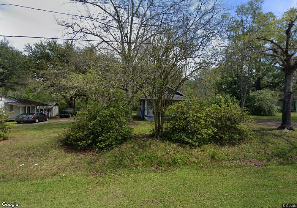
2067 Central Ave Summerville, SC 29483
Estimated Value: $159,000 - $331,000
2
Beds
1
Bath
705
Sq Ft
$342/Sq Ft
Est. Value
About This Home
This home is located at 2067 Central Ave, Summerville, SC 29483 and is currently estimated at $241,012, approximately $341 per square foot. 2067 Central Ave is a home located in Dorchester County with nearby schools including Newington Elementary School, Gregg Middle School, and Summerville High School.
Ownership History
Date
Name
Owned For
Owner Type
Purchase Details
Closed on
Feb 10, 2014
Sold by
Tolly Barbara Jeanne
Bought by
Strickland Linda
Current Estimated Value
Purchase Details
Closed on
Aug 30, 2013
Sold by
Estate Of Jimmy Kyler Clark
Bought by
Tolly Barbara Jeanne and Last Will & Testament Of Jimmy Clark
Purchase Details
Closed on
May 3, 2013
Sold by
Estate Of Jimmy Kyler Clark
Bought by
Tolly Barbara Jeanne and Clark Jimmy
Create a Home Valuation Report for This Property
The Home Valuation Report is an in-depth analysis detailing your home's value as well as a comparison with similar homes in the area
Home Values in the Area
Average Home Value in this Area
Purchase History
| Date | Buyer | Sale Price | Title Company |
|---|---|---|---|
| Strickland Linda | -- | -- | |
| Tolly Barbara Jeanne | -- | -- | |
| Tolly Barbara Jeanne | -- | -- |
Source: Public Records
Tax History Compared to Growth
Tax History
| Year | Tax Paid | Tax Assessment Tax Assessment Total Assessment is a certain percentage of the fair market value that is determined by local assessors to be the total taxable value of land and additions on the property. | Land | Improvement |
|---|---|---|---|---|
| 2025 | $1,229 | $8,494 | $6,438 | $2,056 |
| 2024 | $1,229 | $8,494 | $6,438 | $2,056 |
| 2023 | $1,229 | $3,635 | $2,400 | $1,235 |
| 2022 | $1,109 | $2,670 | $1,990 | $680 |
| 2021 | $1,109 | $2,670 | $1,990 | $680 |
| 2020 | $1,046 | $2,320 | $1,730 | $590 |
| 2019 | $1,032 | $2,320 | $1,730 | $590 |
| 2018 | $887 | $2,320 | $1,730 | $590 |
| 2017 | $885 | $2,320 | $1,730 | $590 |
| 2016 | $867 | $2,320 | $1,730 | $590 |
| 2015 | $865 | $2,320 | $1,730 | $590 |
| 2014 | $979 | $45,195 | $0 | $0 |
| 2013 | -- | $2,710 | $0 | $0 |
Source: Public Records
Map
Nearby Homes
- 385 Embassy Dr
- 162 Whippoorwill Dr
- 103 Green Grass Rd
- 102 Green Grass Rd
- 133 Stephanie Cir
- 208 Cherry Grove Dr
- 126 Mizzell Rd
- 180 Cherry Grove Dr
- 302 Embassy Dr
- 162 Cherry Grove Dr
- 169 Cherry Grove Dr
- 131 County Road S-18-409
- 167 Cherry Grove Dr
- 105 Ruth Anne Dr
- Brewster Plan at Central Estates
- Adams Plan at Central Estates
- Sumter Plan at Central Estates
- Mercer Plan at Central Estates
- Putnam Plan at Central Estates
- 1968 Central Ave
- 2055 Central Ave
- 2063 Central Ave
- 2053 Central Ave
- 128 Maxwell Rd
- 2049 Central Ave
- 0 Maxwell Ln Unit 2608570
- 0 Maxwell Ln Unit 15019806
- 0 Maxwell Ln Unit 18000635
- 2054 Central Ave
- 139 Maxwell Rd
- 135 Maxwell Rd
- 2071 Central Ave
- 2071 Central Ave
- 2071 Central Ave
- 280 Whippoorwill Dr
- 131 Maxwell Rd
- 276 Whippoorwill Dr
- 134 Maxwell Rd
- 2101 Central Ave
- 132 Maxwell Rd