20692 Moulton Fort Amanda Rd Wapakoneta, OH 45895
Estimated Value: $246,000 - $307,000
2
Beds
2
Baths
1,600
Sq Ft
$175/Sq Ft
Est. Value
About This Home
This home is located at 20692 Moulton Fort Amanda Rd, Wapakoneta, OH 45895 and is currently estimated at $279,476, approximately $174 per square foot. 20692 Moulton Fort Amanda Rd is a home located in Auglaize County with nearby schools including Wapakoneta Elementary School, Wapakoneta High School, and Wapakoneta Middle School.
Ownership History
Date
Name
Owned For
Owner Type
Purchase Details
Closed on
Jan 22, 2006
Sold by
Blubaugh Ronald Glenn and Blubaugh Jean Marie
Bought by
Eber Russell D and Eber Beth E
Current Estimated Value
Home Financials for this Owner
Home Financials are based on the most recent Mortgage that was taken out on this home.
Original Mortgage
$50,150
Outstanding Balance
$28,438
Interest Rate
6.42%
Mortgage Type
Purchase Money Mortgage
Estimated Equity
$251,038
Purchase Details
Closed on
Oct 30, 2003
Sold by
Place Dean W
Bought by
Blubaugh Ronald Glenn
Purchase Details
Closed on
Apr 2, 1993
Sold by
Place Dean W
Bought by
Place Dean W
Purchase Details
Closed on
Oct 28, 1992
Sold by
Place Dean W and Place Riva
Bought by
Place Dean W
Purchase Details
Closed on
Jan 8, 1992
Sold by
Place Dean W
Bought by
Place Dean W
Create a Home Valuation Report for This Property
The Home Valuation Report is an in-depth analysis detailing your home's value as well as a comparison with similar homes in the area
Home Values in the Area
Average Home Value in this Area
Purchase History
| Date | Buyer | Sale Price | Title Company |
|---|---|---|---|
| Eber Russell D | $15,833 | None Available | |
| Blubaugh Ronald Glenn | $37,500 | -- | |
| Place Dean W | -- | -- | |
| Place Dean W | -- | -- | |
| Place Dean W | -- | -- |
Source: Public Records
Mortgage History
| Date | Status | Borrower | Loan Amount |
|---|---|---|---|
| Open | Eber Russell D | $50,150 |
Source: Public Records
Tax History Compared to Growth
Tax History
| Year | Tax Paid | Tax Assessment Tax Assessment Total Assessment is a certain percentage of the fair market value that is determined by local assessors to be the total taxable value of land and additions on the property. | Land | Improvement |
|---|---|---|---|---|
| 2024 | $3,769 | $77,720 | $26,290 | $51,430 |
| 2023 | $2,557 | $77,720 | $26,290 | $51,430 |
| 2022 | $2,275 | $64,790 | $23,910 | $40,880 |
| 2021 | $2,274 | $64,790 | $23,910 | $40,880 |
| 2020 | $926 | $52,945 | $23,909 | $29,036 |
| 2019 | $753 | $20,948 | $16,062 | $4,886 |
| 2018 | $742 | $20,441 | $16,062 | $4,379 |
| 2017 | $834 | $20,441 | $16,062 | $4,379 |
| 2016 | $796 | $19,544 | $15,295 | $4,249 |
| 2015 | $895 | $19,544 | $15,295 | $4,249 |
| 2014 | $909 | $19,544 | $15,295 | $4,249 |
| 2013 | $941 | $19,544 | $15,295 | $4,249 |
Source: Public Records
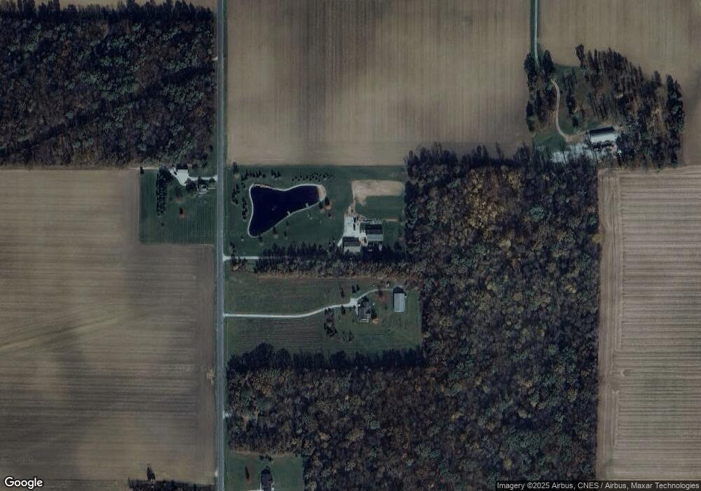
Map
Nearby Homes
- 22284 Ohio 198
- 7470 Fort Amanda Rd
- 123 Oakland Ave
- 00 Kleinoeder Rd
- 521 S Broadway St
- 510 S Broadway St
- 316 E 4th St
- 420 S Canal St
- 17683 Ohio 117
- 406 S Mulberry St
- 213 N Pearl St
- 620 N Broadway St
- 425 N Main St
- 408 N Mulberry St
- 714 Briggs Ave Unit 1
- 15644 Bay Rd
- 417 W 4th St
- 421 W 4th St
- 433 W 4th St
- 17054 State Route 198
- 20692 Moulton-Ft Amanda Rd
- 20638 Moulton-Ft Amanda Rd
- 20789 Moulton Fort Amanda Rd
- 20572 Moulton Fort Amanda Rd
- 20572 Moulton-Ft Amanda Rd
- 20498 Moulton-Ft Amanda Rd
- 20833 Moulton Fort Amanda Rd
- 20457 Moulton Fort Amanda Rd
- 20386 Moulton Fort Amanda Rd
- 08264 National Rd
- 08504 National Rd
- 08471 National Rd
- 20233 Moulton Fort Amanda Rd
- 07502 National Rd
- 08685 National Rd
- 20625 Conant Rd
- 20337 Conant Rd
- 20749 Conant Rd
- 07467 National Rd