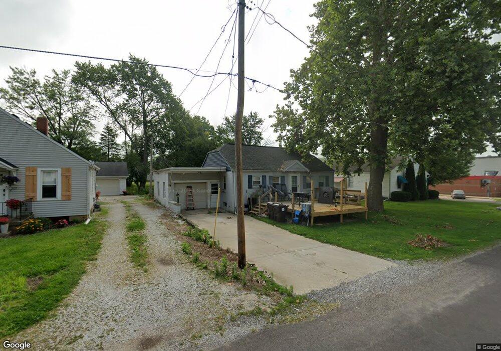
207 S Webster St MacKinaw, IL 61755
Estimated Value: $100,986 - $107,000
2
Beds
1
Bath
884
Sq Ft
$117/Sq Ft
Est. Value
About This Home
This home is located at 207 S Webster St, MacKinaw, IL 61755 and is currently estimated at $103,747, approximately $117 per square foot. 207 S Webster St is a home located in Tazewell County with nearby schools including Dee-Mack Primary/Junior High School, Dee-Mack Intermediate School, and Dee-Mack High School.
Ownership History
Date
Name
Owned For
Owner Type
Purchase Details
Closed on
Jun 25, 2024
Sold by
Skydan Equity Partners Llc
Bought by
Neeley Glenn Allen and Neeley Stephanie L
Current Estimated Value
Home Financials for this Owner
Home Financials are based on the most recent Mortgage that was taken out on this home.
Original Mortgage
$66,768
Outstanding Balance
$66,009
Interest Rate
7.25%
Mortgage Type
FHA
Estimated Equity
$37,738
Purchase Details
Closed on
Oct 29, 2021
Sold by
Mcginnis Virgil R
Bought by
Haynes Candy C and Mcginnis Virgil R
Create a Home Valuation Report for This Property
The Home Valuation Report is an in-depth analysis detailing your home's value as well as a comparison with similar homes in the area
Home Values in the Area
Average Home Value in this Area
Purchase History
| Date | Buyer | Sale Price | Title Company |
|---|---|---|---|
| Neeley Glenn Allen | $68,000 | None Listed On Document | |
| Haynes Candy C | $45,000 | Mcgrath Law Office Pc |
Source: Public Records
Mortgage History
| Date | Status | Borrower | Loan Amount |
|---|---|---|---|
| Open | Neeley Glenn Allen | $66,768 |
Source: Public Records
Tax History Compared to Growth
Tax History
| Year | Tax Paid | Tax Assessment Tax Assessment Total Assessment is a certain percentage of the fair market value that is determined by local assessors to be the total taxable value of land and additions on the property. | Land | Improvement |
|---|---|---|---|---|
| 2024 | $2,255 | $29,810 | $3,770 | $26,040 |
| 2023 | $2,255 | $27,420 | $3,470 | $23,950 |
| 2022 | $2,128 | $25,270 | $3,200 | $22,070 |
| 2021 | $2,066 | $24,300 | $3,080 | $21,220 |
| 2020 | $2,025 | $23,590 | $2,990 | $20,600 |
| 2019 | $2,031 | $23,590 | $2,990 | $20,600 |
| 2018 | $1,926 | $22,590 | $2,990 | $19,600 |
| 2017 | $1,897 | $22,370 | $2,960 | $19,410 |
| 2016 | $1,881 | $22,370 | $2,960 | $19,410 |
| 2015 | $1,835 | $0 | $0 | $0 |
| 2013 | $1,821 | $22,290 | $2,880 | $19,410 |
Source: Public Records
Map
Nearby Homes
- 0 Illinois 9
- 103 S Monroe St
- 213 Tulip Dr
- 204 Tulip Dr
- 988 Heritage Dr
- 30748 Grandview Terrace
- 10 Summit Dr
- 29724 Allentown Rd
- 801 Heritage Dr
- 6 Raleigh Ave
- 29875 White Oak Dr
- 11283 Illinois 9
- 30403 Hancock Rd
- 16555 Mclean Rd
- 18196 River Rd
- 118 Bryant St
- 1209 Whippoorwill Dr
- 1263 Wheatfield Dr
- 305 E Martin Dr
- 305 N Logan St
- 402 E 5th St
- 205 S Webster St
- 402 E Fifth St
- 404 E Fifth St
- 203 S Webster St
- 308 E Fifth St
- 308 E 5th St
- 206 S East St
- 208 S East St
- 306 E 5th St
- 206 S Webster St
- 302 S Webster St
- 204 S East St
- 204 S Webster St
- 304 E Fifth St
- 403 E Madison St
- 304 E 5th St
- 304 S Webster St
- 405 E Madison St
- 307 E Madison St