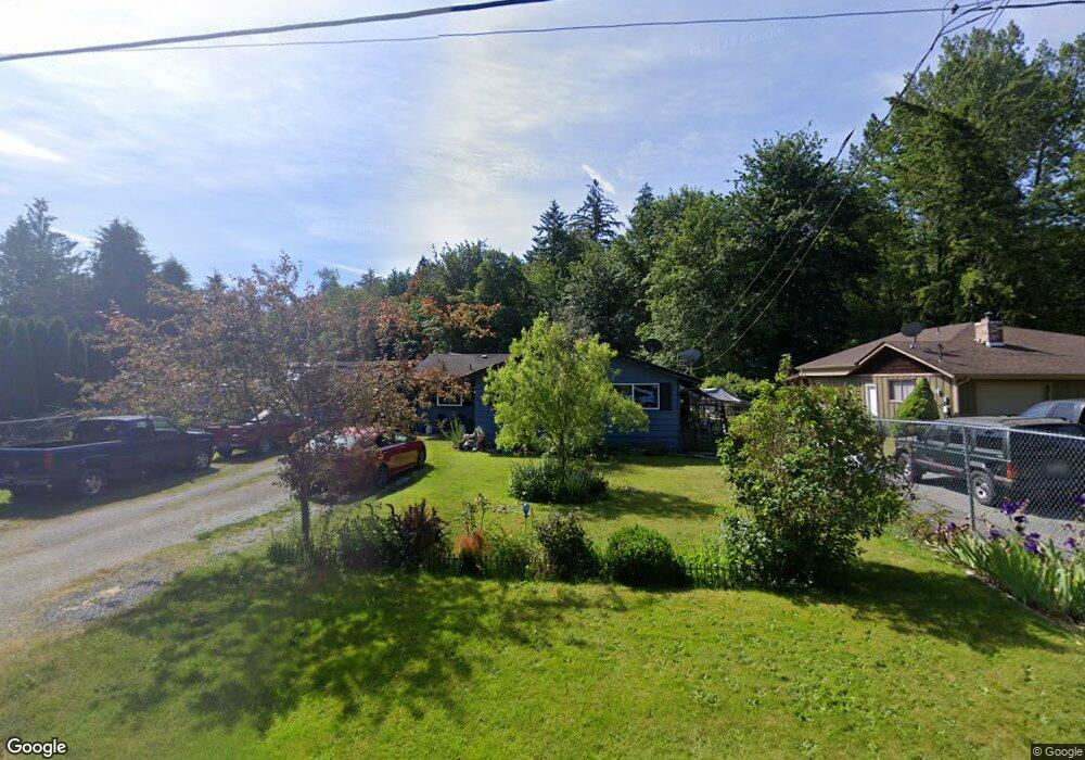
20736 English Rd Mount Vernon, WA 98274
Estimated Value: $537,712 - $632,000
4
Beds
1
Bath
1,788
Sq Ft
$321/Sq Ft
Est. Value
About This Home
This home is located at 20736 English Rd, Mount Vernon, WA 98274 and is currently estimated at $574,678, approximately $321 per square foot. 20736 English Rd is a home located in Skagit County with nearby schools including Conway School.
Ownership History
Date
Name
Owned For
Owner Type
Purchase Details
Closed on
Jul 12, 2006
Sold by
Prestmo Glen A and Prestmo Christine M
Bought by
Dunton Chris R and Pfaff Dunton K Britt
Current Estimated Value
Home Financials for this Owner
Home Financials are based on the most recent Mortgage that was taken out on this home.
Original Mortgage
$133,000
Outstanding Balance
$78,168
Interest Rate
6.66%
Mortgage Type
Purchase Money Mortgage
Estimated Equity
$496,510
Create a Home Valuation Report for This Property
The Home Valuation Report is an in-depth analysis detailing your home's value as well as a comparison with similar homes in the area
Home Values in the Area
Average Home Value in this Area
Purchase History
| Date | Buyer | Sale Price | Title Company |
|---|---|---|---|
| Dunton Chris R | $268,000 | Chicago Title Company Island |
Source: Public Records
Mortgage History
| Date | Status | Borrower | Loan Amount |
|---|---|---|---|
| Open | Dunton Chris R | $133,000 |
Source: Public Records
Tax History Compared to Growth
Tax History
| Year | Tax Paid | Tax Assessment Tax Assessment Total Assessment is a certain percentage of the fair market value that is determined by local assessors to be the total taxable value of land and additions on the property. | Land | Improvement |
|---|---|---|---|---|
| 2025 | $3,918 | $451,400 | $245,000 | $206,400 |
| 2024 | $3,749 | $443,000 | $245,000 | $198,000 |
| 2023 | $3,749 | $410,500 | $229,000 | $181,500 |
| 2022 | $3,370 | $435,800 | $222,000 | $213,800 |
| 2021 | $3,398 | $335,600 | $167,700 | $167,900 |
| 2020 | $3,177 | $312,900 | $0 | $0 |
| 2019 | $2,710 | $291,300 | $0 | $0 |
| 2018 | $3,057 | $251,900 | $0 | $0 |
| 2017 | $2,987 | $240,400 | $0 | $0 |
| 2016 | $2,884 | $236,600 | $116,000 | $120,600 |
| 2015 | $2,572 | $221,000 | $108,300 | $112,700 |
| 2013 | $2,646 | $182,500 | $0 | $0 |
Source: Public Records
Map
Nearby Homes
- 21060 Bulson Rd
- 20616 Bulson Rd
- 22414 Bulson Rd
- 23158 Bonnieview Rd
- 21314 Starbird Rd
- 20555 Benson Ridge
- 23330 State Route 534
- 18340 Osprey Ct
- 23738 Carlson Place
- 3723 324th St NW
- 17406 Fir Island Rd
- 32210 68th Ave NW
- 33020 84th Ave NW
- 32509 80th Dr NW
- 31614 60th Ave NW
- 22969 Lake McMurray Ln
- 17609 S Skyridge Dr
- 23217 State Route 9
- 31727 76th Ave NW
- 23415 Coots Cove Ln
- 20722 English Rd
- 20748 English Rd
- 20774 English Rd
- 20670 English Rd
- 20695 English Rd
- 20745 English Rd
- 20793 English Rd
- 20790 English Rd
- 20614 English Rd
- 20808 English Rd
- 20800 English Rd
- 20611 English Rd
- 20663 English Rd
- 20586 English Rd
- 20564 English Rd
- 21260 Lake Sixteen Rd
- 20675 State Route 534
- 20599 English Rd
- 20896 State Route 534
- 20607 State Route 534