20800 Hemlock Rd Lebanon, MO 65536
Estimated Value: $261,230 - $315,000
2
Beds
1
Bath
1,842
Sq Ft
$154/Sq Ft
Est. Value
About This Home
This home is located at 20800 Hemlock Rd, Lebanon, MO 65536 and is currently estimated at $283,743, approximately $154 per square foot. 20800 Hemlock Rd is a home located in Laclede County with nearby schools including Joe D. Esther Elementary School, Boswell Elementary School, and Maplecrest Elementary School.
Ownership History
Date
Name
Owned For
Owner Type
Purchase Details
Closed on
Feb 12, 2021
Sold by
Price Nicole L
Bought by
Price Brindan K
Current Estimated Value
Purchase Details
Closed on
Nov 16, 2018
Sold by
Connell Wade and Connell Brittany
Bought by
Price Brindan and Price Nicole
Home Financials for this Owner
Home Financials are based on the most recent Mortgage that was taken out on this home.
Original Mortgage
$156,655
Outstanding Balance
$137,465
Interest Rate
4.7%
Mortgage Type
New Conventional
Estimated Equity
$146,278
Purchase Details
Closed on
Apr 6, 2016
Sold by
Marolf James H
Bought by
Connell Wade and Connell Brittany
Home Financials for this Owner
Home Financials are based on the most recent Mortgage that was taken out on this home.
Original Mortgage
$610,000
Interest Rate
3.62%
Mortgage Type
Commercial
Create a Home Valuation Report for This Property
The Home Valuation Report is an in-depth analysis detailing your home's value as well as a comparison with similar homes in the area
Home Values in the Area
Average Home Value in this Area
Purchase History
| Date | Buyer | Sale Price | Title Company |
|---|---|---|---|
| Price Brindan K | -- | None Available | |
| Price Brindan | -- | None Available | |
| Connell Wade | -- | Hogan |
Source: Public Records
Mortgage History
| Date | Status | Borrower | Loan Amount |
|---|---|---|---|
| Open | Price Brindan | $156,655 | |
| Previous Owner | Connell Wade | $610,000 |
Source: Public Records
Tax History Compared to Growth
Tax History
| Year | Tax Paid | Tax Assessment Tax Assessment Total Assessment is a certain percentage of the fair market value that is determined by local assessors to be the total taxable value of land and additions on the property. | Land | Improvement |
|---|---|---|---|---|
| 2025 | $1,055 | $19,930 | $0 | $0 |
| 2024 | $1,055 | $18,180 | $0 | $0 |
| 2023 | $1,086 | $18,180 | $0 | $0 |
| 2022 | $1,014 | $18,180 | $0 | $0 |
| 2021 | $1,068 | $11,652 | $1,740 | $9,912 |
| 2020 | $1,073 | $11,652 | $1,740 | $9,912 |
| 2019 | $1,026 | $18,170 | $2,630 | $15,540 |
| 2018 | $1,117 | $21,850 | $5,960 | $15,890 |
| 2017 | $1,046 | $21,850 | $0 | $0 |
| 2016 | $1,046 | $21,850 | $0 | $0 |
| 2015 | $1,046 | $21,850 | $0 | $0 |
| 2014 | $1,046 | $21,620 | $0 | $0 |
| 2013 | -- | $21,620 | $0 | $0 |
Source: Public Records
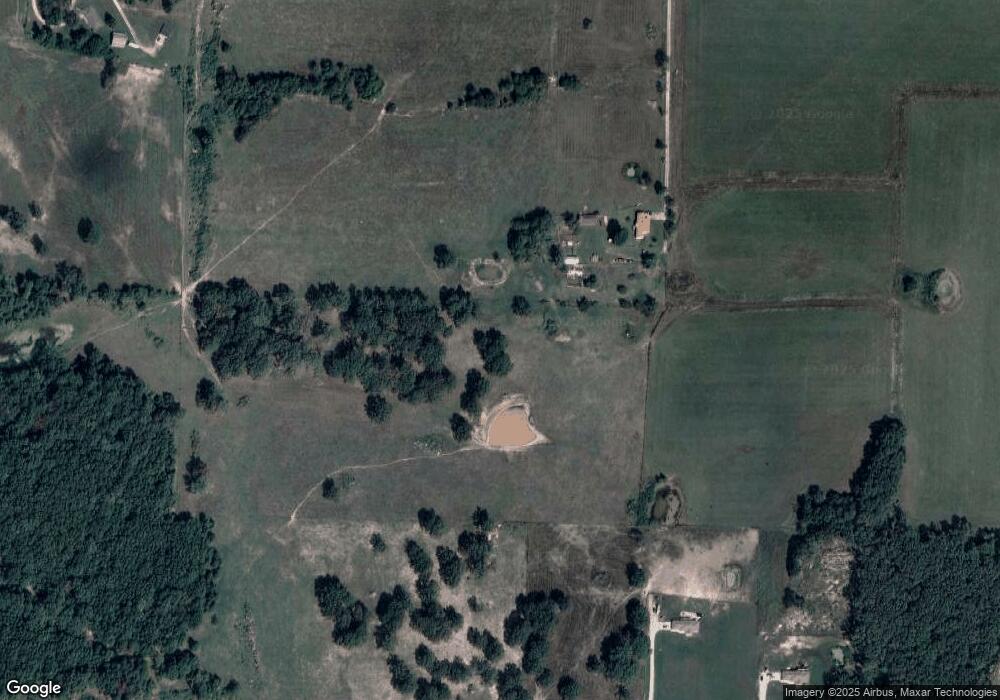
Map
Nearby Homes
- 20448 Oakway Dr
- 20193 SW Oakwood Dr
- 27327 Harrill Ln
- 20150 SW Oakwood Dr
- 31 Ontario Dr
- 1 Grandlake Cir
- 17 Grandlake Cir
- 2 Grandlake Cir
- 10 Grandlake Cir
- TBD County Road Vv-225
- 19954 Ironwood Ln
- 000 Greenfield Rd
- TBD Greenfield Rd
- 20198 Granger Ln
- 545 Woody
- 1540 Woodhill Dr
- 25670 Open Ridge Ln
- 231 Raef Rd
- 25611 Open Ridge Ln
- TBD Honeysuckle Cir
- 20800 County Road 5-224
- 27025 Pelican Dr
- 27031 Pelican Dr
- 27250 Pelican Dr
- 20849 Hardwood (Under Construction) Ln
- 27340 Pelican Dr
- 27095 Pelican Dr
- 27095 Pelican Dr
- 27127 Pelican Dr
- 23152 Stockton
- 20653 NE Oakwood Dr
- 20480 Hemlock Rd
- 20627 NE Oakwood Dr
- 20671 NE Oakwood Dr
- 27748 Otter Dr
- 20623 NE Oakwood Dr
- 27570 Otter Dr
- 27015 Highway Yy
- 20683 NE Oakwood Dr
- 20581 NE Oakwood Dr