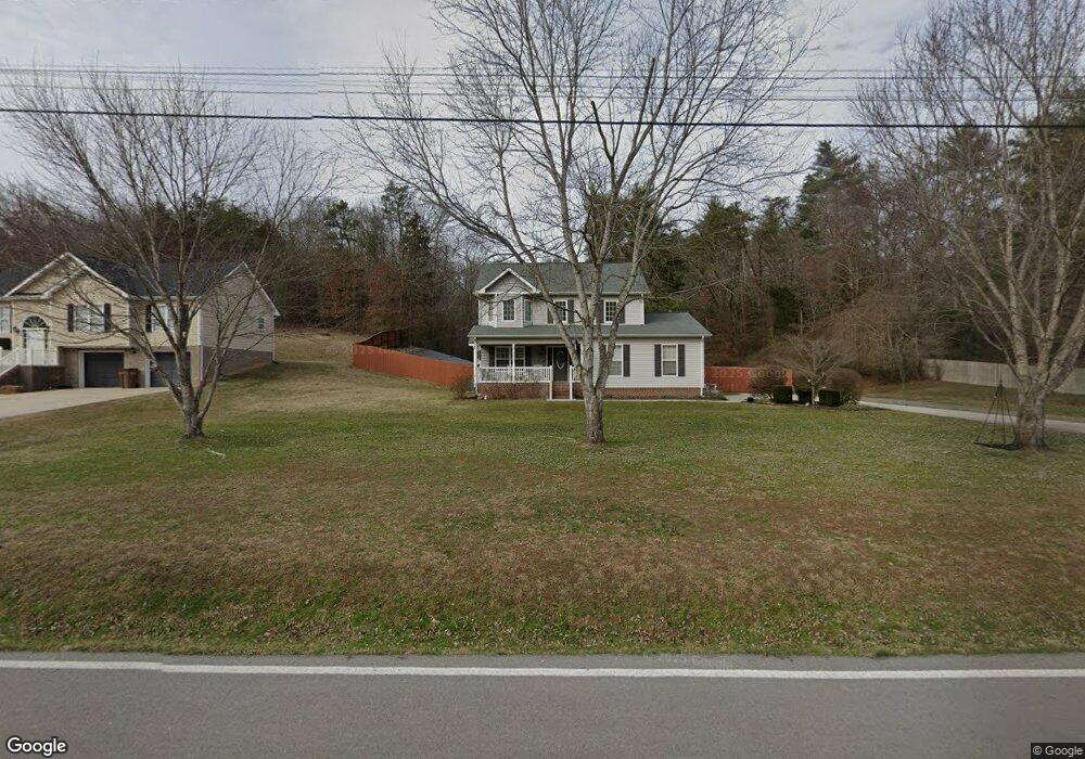
2083 Green Pond Rd Soddy Daisy, TN 37379
Estimated Value: $290,301 - $341,000
--
Bed
--
Bath
1,364
Sq Ft
$234/Sq Ft
Est. Value
About This Home
This home is located at 2083 Green Pond Rd, Soddy Daisy, TN 37379 and is currently estimated at $319,825, approximately $234 per square foot. 2083 Green Pond Rd is a home located in Hamilton County with nearby schools including Loftis Middle School.
Ownership History
Date
Name
Owned For
Owner Type
Purchase Details
Closed on
Oct 4, 2022
Sold by
Killough Amy N
Bought by
Killough Amy N and Killough Pamela S
Current Estimated Value
Purchase Details
Closed on
Mar 16, 2012
Sold by
Killough Pamela S
Bought by
Killough Amy N and Killough T
Home Financials for this Owner
Home Financials are based on the most recent Mortgage that was taken out on this home.
Original Mortgage
$107,060
Interest Rate
3.89%
Mortgage Type
New Conventional
Purchase Details
Closed on
Jun 20, 2006
Sold by
Killough T W and Killough Pamela S
Bought by
Killough Amy N and Killough T
Create a Home Valuation Report for This Property
The Home Valuation Report is an in-depth analysis detailing your home's value as well as a comparison with similar homes in the area
Home Values in the Area
Average Home Value in this Area
Purchase History
| Date | Buyer | Sale Price | Title Company |
|---|---|---|---|
| Killough Amy N | -- | -- | |
| Killough Amy N | -- | Milligan Reynolds Guaranty T | |
| Killough Amy N | -- | None Available |
Source: Public Records
Mortgage History
| Date | Status | Borrower | Loan Amount |
|---|---|---|---|
| Previous Owner | Killough Amy N | $107,060 |
Source: Public Records
Tax History Compared to Growth
Tax History
| Year | Tax Paid | Tax Assessment Tax Assessment Total Assessment is a certain percentage of the fair market value that is determined by local assessors to be the total taxable value of land and additions on the property. | Land | Improvement |
|---|---|---|---|---|
| 2024 | $1,203 | $53,775 | $0 | $0 |
| 2023 | $1,212 | $53,775 | $0 | $0 |
| 2022 | $1,212 | $53,775 | $0 | $0 |
| 2021 | $1,212 | $53,775 | $0 | $0 |
| 2020 | $1,313 | $47,150 | $0 | $0 |
| 2019 | $1,313 | $47,150 | $0 | $0 |
| 2018 | $1,313 | $47,150 | $0 | $0 |
| 2017 | $1,313 | $47,150 | $0 | $0 |
| 2016 | $1,251 | $0 | $0 | $0 |
| 2015 | $1,251 | $44,900 | $0 | $0 |
| 2014 | $1,251 | $0 | $0 | $0 |
Source: Public Records
Map
Nearby Homes
- 10947 High River Dr
- 2110 Autumn River Dr
- 11036 High River Dr
- 11015 High River Dr
- 10166 Hunters Hollow Dr
- 2338 Stonesage Rd
- 10160 Hunters Hollow Dr
- 1724 Magnum Ln
- 10224 Tommys Ln
- 1524 Green Pond Rd
- 10041 Rolling Wind Dr
- 2727 Thicket Rd
- 10105 Hixson Pike
- 2033 Angler Dr
- 9955 Rolling Wind Dr
- 10496 Sovereign Pointe Dr
- 9901 Breeze Hill Ln
- 10627 Jeneva Ln
- 10428 Jeneva Ln
- 1230 Green Pond Rd
- 2061 Green Pond Rd
- 2061 Green Pond Rd Unit 9
- 2069 Green Pond Rd
- 2031 Green Pond Rd
- 2091 Green Pond Rd
- 2045 Green Pond Rd
- 2099 Green Pond Rd
- 2039 Green Pond Rd
- 2062 Green Pond Rd
- 2074 Green Pond Rd
- 1996 Green Pond Rd
- 2086 Green Pond Rd
- 2111 Green Pond Rd
- 2098 Green Pond Rd
- 2017 Green Pond Rd
- 2108 Green Pond Rd
- 2009 Green Pond Rd
- 2001 Green Pond Rd
- 2117 Green Pond Rd
- 2037 Green Pond Rd