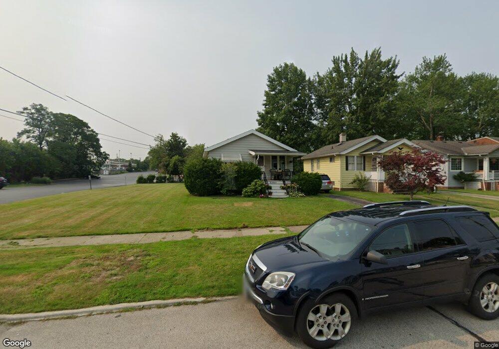
20889 Westwood Rd Cleveland, OH 44126
Estimated Value: $170,038 - $215,000
2
Beds
1
Bath
576
Sq Ft
$324/Sq Ft
Est. Value
About This Home
This home is located at 20889 Westwood Rd, Cleveland, OH 44126 and is currently estimated at $186,510, approximately $323 per square foot. 20889 Westwood Rd is a home located in Cuyahoga County with nearby schools including Gilles-Sweet Elementary School, Lewis F Mayer Middle School, and Fairview High School.
Ownership History
Date
Name
Owned For
Owner Type
Purchase Details
Closed on
Jul 31, 2006
Sold by
Hud
Bought by
Haytas John M
Current Estimated Value
Home Financials for this Owner
Home Financials are based on the most recent Mortgage that was taken out on this home.
Original Mortgage
$73,348
Outstanding Balance
$44,180
Interest Rate
6.82%
Mortgage Type
FHA
Estimated Equity
$142,330
Purchase Details
Closed on
Nov 28, 2005
Sold by
Gallagher Timothy M
Bought by
Hud
Purchase Details
Closed on
Jan 1, 1975
Bought by
Mitchell Mary
Create a Home Valuation Report for This Property
The Home Valuation Report is an in-depth analysis detailing your home's value as well as a comparison with similar homes in the area
Home Values in the Area
Average Home Value in this Area
Purchase History
| Date | Buyer | Sale Price | Title Company |
|---|---|---|---|
| Haytas John M | $74,500 | Lakeside Title | |
| Hud | $65,334 | Attorney | |
| Mitchell Mary | -- | -- |
Source: Public Records
Mortgage History
| Date | Status | Borrower | Loan Amount |
|---|---|---|---|
| Open | Haytas John M | $73,348 |
Source: Public Records
Tax History Compared to Growth
Tax History
| Year | Tax Paid | Tax Assessment Tax Assessment Total Assessment is a certain percentage of the fair market value that is determined by local assessors to be the total taxable value of land and additions on the property. | Land | Improvement |
|---|---|---|---|---|
| 2024 | $3,572 | $49,910 | $12,390 | $37,520 |
| 2023 | $3,495 | $41,870 | $11,100 | $30,770 |
| 2022 | $3,412 | $41,860 | $11,100 | $30,770 |
| 2021 | $3,473 | $41,860 | $11,100 | $30,770 |
| 2020 | $3,198 | $33,780 | $8,960 | $24,820 |
| 2019 | $2,856 | $96,500 | $25,600 | $70,900 |
| 2018 | $2,758 | $33,780 | $8,960 | $24,820 |
| 2017 | $2,781 | $30,380 | $7,980 | $22,400 |
| 2016 | $2,763 | $30,380 | $7,980 | $22,400 |
| 2015 | $2,615 | $30,380 | $7,980 | $22,400 |
| 2014 | $2,615 | $28,950 | $7,600 | $21,350 |
Source: Public Records
Map
Nearby Homes
- 21143 Westwood Rd
- 4243 W 212th St
- 21237 Westwood Rd
- 20778 Woodstock Ave
- 21236 Northwood Ave
- 4291 W 215th St
- 20688 Belvidere Ave
- 3826 W 210th St
- 20187 Grannis Rd
- 4036 W 219th St
- 3712 Addington Ct
- 3733 River Ln
- 4140 W 220th St
- 21503 Hillsdale Ave
- 21872 Addington Blvd Unit 15
- 3420 W 210th St
- 4235 W 222nd St
- 3340 W 210th St
- 22377 Rivergate Dr
- 4336 W 196th St
- 20897 Westwood Rd
- 20881 Westwood Rd
- 20913 Westwood Rd
- 20857 Westwood Rd
- 20921 Westwood Rd
- 20874 Westwood Rd
- 4244 W 208th St
- 4228 W 208th St
- 4252 W 208th St
- 20890 Westwood Rd
- 20882 Westwood Rd
- 20898 Westwood Rd
- 4260 W 208th St
- 20874 Westwood Rd
- 20906 Westwood Rd
- 4251 W 210th St
- 4268 W 208th St
- 20858 Westwood Rd
- 4247 W 210th St
- 4222 W 208th St