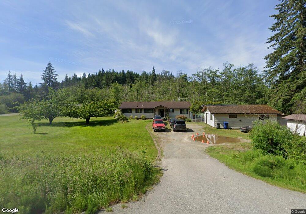
20896 State Route 534 Mount Vernon, WA 98274
Estimated Value: $747,809 - $814,000
4
Beds
2
Baths
1,848
Sq Ft
$426/Sq Ft
Est. Value
About This Home
This home is located at 20896 State Route 534, Mount Vernon, WA 98274 and is currently estimated at $786,952, approximately $425 per square foot. 20896 State Route 534 is a home located in Skagit County with nearby schools including Conway School.
Ownership History
Date
Name
Owned For
Owner Type
Purchase Details
Closed on
Apr 3, 2008
Sold by
Stephens Shannon Colleen and Estate Of Diane C Jenkins
Bought by
Buehler Matt and Buehler Jeanette
Current Estimated Value
Home Financials for this Owner
Home Financials are based on the most recent Mortgage that was taken out on this home.
Original Mortgage
$332,500
Outstanding Balance
$211,481
Interest Rate
6.22%
Mortgage Type
Purchase Money Mortgage
Estimated Equity
$575,471
Create a Home Valuation Report for This Property
The Home Valuation Report is an in-depth analysis detailing your home's value as well as a comparison with similar homes in the area
Home Values in the Area
Average Home Value in this Area
Purchase History
| Date | Buyer | Sale Price | Title Company |
|---|---|---|---|
| Buehler Matt | $350,000 | Chicago Title Company Island |
Source: Public Records
Mortgage History
| Date | Status | Borrower | Loan Amount |
|---|---|---|---|
| Open | Buehler Matt | $332,500 |
Source: Public Records
Tax History Compared to Growth
Tax History
| Year | Tax Paid | Tax Assessment Tax Assessment Total Assessment is a certain percentage of the fair market value that is determined by local assessors to be the total taxable value of land and additions on the property. | Land | Improvement |
|---|---|---|---|---|
| 2025 | $5,531 | $646,100 | $279,500 | $366,600 |
| 2024 | $5,304 | $631,300 | $279,500 | $351,800 |
| 2023 | $5,304 | $583,600 | $261,200 | $322,400 |
| 2022 | $4,697 | $606,200 | $263,000 | $343,200 |
| 2021 | $4,699 | $470,100 | $200,700 | $269,400 |
| 2020 | $4,383 | $435,300 | $0 | $0 |
| 2019 | $3,740 | $404,400 | $0 | $0 |
| 2018 | $4,223 | $349,800 | $0 | $0 |
| 2017 | $3,947 | $333,900 | $0 | $0 |
| 2016 | $3,807 | $314,000 | $134,400 | $179,600 |
| 2015 | $3,404 | $293,000 | $125,400 | $167,600 |
| 2013 | $3,480 | $242,200 | $0 | $0 |
Source: Public Records
Map
Nearby Homes
- 21060 Bulson Rd
- 20616 Bulson Rd
- 22414 Bulson Rd
- 21314 Starbird Rd
- 23158 Bonnieview Rd
- 20555 Benson Ridge
- 23330 State Route 534
- 23738 Carlson Place
- 18340 Osprey Ct
- 3723 324th St NW
- 17406 Fir Island Rd
- 22969 Lake McMurray Ln
- 32210 68th Ave NW
- 31614 60th Ave NW
- 33020 84th Ave NW
- 23217 State Route 9
- 32509 80th Dr NW
- 17609 S Skyridge Dr
- 31727 76th Ave NW
- 24869 Brotherhood Rd
- 20920 State Route 534
- 20942 State Route 534
- 20800 English Rd
- 20808 English Rd
- 21193 Lake Sixteen Rd
- 20790 English Rd
- 21000 State Route 534
- 20774 English Rd
- 20748 English Rd
- 20793 English Rd
- 20736 English Rd
- 20745 English Rd
- 21260 Lake Sixteen Rd
- 20722 English Rd
- 21137 Lake Sixteen Rd
- 20564 English Rd
- 20670 English Rd
- 20695 English Rd
- 20614 English Rd
- 20675 State Route 534