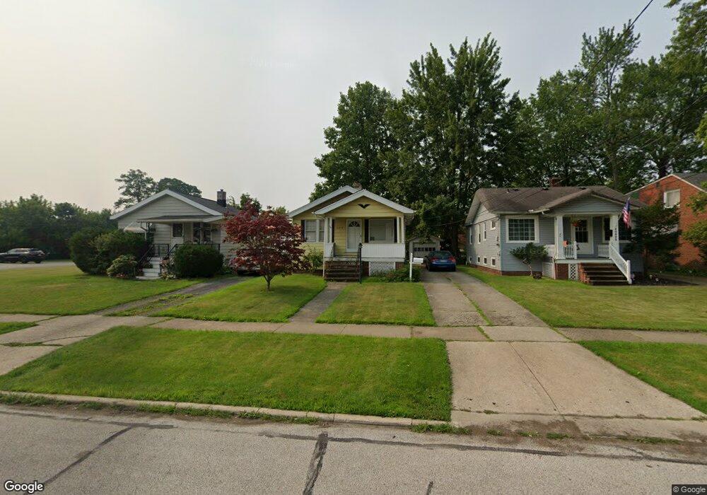
20897 Westwood Rd Cleveland, OH 44126
Estimated Value: $179,566 - $204,000
2
Beds
1
Bath
616
Sq Ft
$305/Sq Ft
Est. Value
About This Home
This home is located at 20897 Westwood Rd, Cleveland, OH 44126 and is currently estimated at $188,142, approximately $305 per square foot. 20897 Westwood Rd is a home located in Cuyahoga County with nearby schools including Gilles-Sweet Elementary School, Lewis F Mayer Middle School, and Fairview High School.
Ownership History
Date
Name
Owned For
Owner Type
Purchase Details
Closed on
Jan 24, 2000
Sold by
Auner James C
Bought by
Auner Thomas J
Current Estimated Value
Home Financials for this Owner
Home Financials are based on the most recent Mortgage that was taken out on this home.
Original Mortgage
$68,000
Outstanding Balance
$21,605
Interest Rate
7.84%
Estimated Equity
$166,537
Purchase Details
Closed on
Jun 30, 1993
Sold by
Katonka Joseph P and Katonka Roberta L
Bought by
Auner James C
Purchase Details
Closed on
Sep 30, 1986
Sold by
Mccauley Joseph P
Bought by
Katonka Joseph P and Katonka Roberta L
Purchase Details
Closed on
Sep 30, 1980
Sold by
Gruss Mary E
Bought by
Mccauley Joseph P
Purchase Details
Closed on
Jan 1, 1975
Bought by
Gruss Mary E
Create a Home Valuation Report for This Property
The Home Valuation Report is an in-depth analysis detailing your home's value as well as a comparison with similar homes in the area
Home Values in the Area
Average Home Value in this Area
Purchase History
| Date | Buyer | Sale Price | Title Company |
|---|---|---|---|
| Auner Thomas J | $82,000 | -- | |
| Auner James C | $64,900 | -- | |
| Katonka Joseph P | $46,000 | -- | |
| Mccauley Joseph P | $40,000 | -- | |
| Gruss Mary E | -- | -- |
Source: Public Records
Mortgage History
| Date | Status | Borrower | Loan Amount |
|---|---|---|---|
| Open | Auner Thomas J | $68,000 |
Source: Public Records
Tax History Compared to Growth
Tax History
| Year | Tax Paid | Tax Assessment Tax Assessment Total Assessment is a certain percentage of the fair market value that is determined by local assessors to be the total taxable value of land and additions on the property. | Land | Improvement |
|---|---|---|---|---|
| 2024 | $3,711 | $53,060 | $12,390 | $40,670 |
| 2023 | $3,441 | $42,040 | $11,100 | $30,940 |
| 2022 | $3,357 | $42,040 | $11,100 | $30,940 |
| 2021 | $3,413 | $42,040 | $11,100 | $30,940 |
| 2020 | $3,145 | $33,920 | $8,960 | $24,960 |
| 2019 | $2,801 | $96,900 | $25,600 | $71,300 |
| 2018 | $2,723 | $33,920 | $8,960 | $24,960 |
| 2017 | $2,768 | $30,980 | $7,980 | $23,000 |
| 2016 | $2,750 | $30,980 | $7,980 | $23,000 |
| 2015 | $2,598 | $30,980 | $7,980 | $23,000 |
| 2014 | $2,598 | $29,510 | $7,600 | $21,910 |
Source: Public Records
Map
Nearby Homes
- 21143 Westwood Rd
- 4243 W 212th St
- 21237 Westwood Rd
- 20778 Woodstock Ave
- 21236 Northwood Ave
- 4291 W 215th St
- 20688 Belvidere Ave
- 3826 W 210th St
- 20187 Grannis Rd
- 4036 W 219th St
- 3712 Addington Ct
- 3733 River Ln
- 4140 W 220th St
- 21503 Hillsdale Ave
- 21872 Addington Blvd Unit 15
- 3420 W 210th St
- 4235 W 222nd St
- 3340 W 210th St
- 22377 Rivergate Dr
- 4336 W 196th St
- 20889 Westwood Rd
- 20913 Westwood Rd
- 20881 Westwood Rd
- 20921 Westwood Rd
- 20857 Westwood Rd
- 20874 Westwood Rd
- 4251 W 210th St
- 4247 W 210th St
- 4231 W 210th St
- 20898 Westwood Rd
- 20890 Westwood Rd
- 20906 Westwood Rd
- 20882 Westwood Rd
- 4259 W 210th St
- 20914 Westwood Rd
- 4244 W 208th St
- 4228 W 208th St
- 20874 Westwood Rd
- 4252 W 208th St
- 20922 Westwood Rd