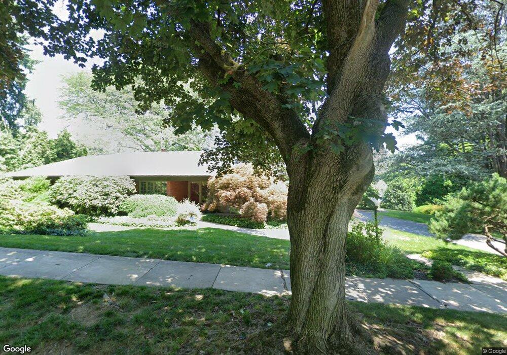
209 N Broad St Unit 231 Allentown, PA 18104
West End Allentown NeighborhoodEstimated Value: $496,000 - $771,000
3
Beds
4
Baths
3,210
Sq Ft
$198/Sq Ft
Est. Value
About This Home
This home is located at 209 N Broad St Unit 231, Allentown, PA 18104 and is currently estimated at $635,761, approximately $198 per square foot. 209 N Broad St Unit 231 is a home located in Lehigh County with nearby schools including Muhlenberg Elementary School, San Rafael Junior High School, and Trexler Middle School.
Ownership History
Date
Name
Owned For
Owner Type
Purchase Details
Closed on
Oct 1, 2018
Sold by
Hall Donald L
Bought by
Kimmel Deborah N and Kimmel Andrew S
Current Estimated Value
Purchase Details
Closed on
Jan 10, 2006
Sold by
The Trust Co Of Lehigh Valley
Bought by
Fuller Joan B and Sornberger Carol B
Create a Home Valuation Report for This Property
The Home Valuation Report is an in-depth analysis detailing your home's value as well as a comparison with similar homes in the area
Home Values in the Area
Average Home Value in this Area
Purchase History
| Date | Buyer | Sale Price | Title Company |
|---|---|---|---|
| Kimmel Deborah N | $419,500 | None Available | |
| Fuller Joan B | -- | None Available |
Source: Public Records
Tax History Compared to Growth
Tax History
| Year | Tax Paid | Tax Assessment Tax Assessment Total Assessment is a certain percentage of the fair market value that is determined by local assessors to be the total taxable value of land and additions on the property. | Land | Improvement |
|---|---|---|---|---|
| 2025 | $13,402 | $395,300 | $62,700 | $332,600 |
| 2024 | $13,402 | $395,300 | $62,700 | $332,600 |
| 2023 | $13,402 | $395,300 | $62,700 | $332,600 |
| 2022 | $12,951 | $395,300 | $332,600 | $62,700 |
| 2021 | $12,704 | $395,300 | $62,700 | $332,600 |
| 2020 | $12,386 | $395,300 | $62,700 | $332,600 |
| 2019 | $12,195 | $395,300 | $62,700 | $332,600 |
| 2018 | $11,304 | $395,300 | $62,700 | $332,600 |
| 2017 | $11,028 | $395,300 | $62,700 | $332,600 |
| 2016 | -- | $395,300 | $62,700 | $332,600 |
| 2015 | -- | $395,300 | $62,700 | $332,600 |
| 2014 | -- | $395,300 | $62,700 | $332,600 |
Source: Public Records
Map
Nearby Homes
- 2702-2710 Liberty St Unit 2702
- 514 N Broad St Unit 520
- 525 N Main St Unit 527
- 615 N 27th St
- 2823 Hamilton Blvd
- 521 N 25th St
- 737 N 27th St
- 81 S Cedar Crest Blvd
- 2895 Hamilton Blvd Unit 104
- 712 N 30th St
- 2411 Union St
- 303 College Dr
- 614 N 23rd St
- 419 S Ott St
- 525 N Leh St
- 2140 W Gordon St
- 2133 W Gordon St Unit 2135
- 921 N 26th St
- 2317-2319 Elm St
- 215 S 23rd St
- 225 N Broad St
- 222 N 27th St Unit 228
- 212 N 27th St Unit 222
- 232 N 27th St
- 220 N Broad St
- 228 N Broad St
- 218 N Broad St Unit 222
- 226 N Broad St Unit 228
- 210 N 27th St
- 2714 W Chew St Unit 2724
- 145 N Broad St Unit 207
- 212-216 N Broad St
- 212 N Broad St Unit 216
- 232 N Broad St
- 2704 W Chew St Unit 2708
- 202 N Broad St Unit 210
- 146 N 27th St Unit 202
- 219 N 27th St
- 211 N 28th St Unit 221
- 227 N 28th St Unit 231