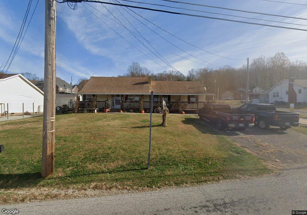
209 Sand Rd Unit JO-4 South Point, OH 45680
Estimated Value: $167,000 - $211,000
3
Beds
2
Baths
1,311
Sq Ft
$138/Sq Ft
Est. Value
About This Home
This home is located at 209 Sand Rd Unit JO-4, South Point, OH 45680 and is currently estimated at $180,893, approximately $137 per square foot. 209 Sand Rd Unit JO-4 is a home located in Lawrence County with nearby schools including South Point High School.
Ownership History
Date
Name
Owned For
Owner Type
Purchase Details
Closed on
May 18, 2017
Sold by
Fitzpatrick Chad
Bought by
Calloway Jeanette
Current Estimated Value
Purchase Details
Closed on
May 19, 2016
Sold by
Fitzpatrick Donald R
Bought by
Fitzpatrick Chad
Purchase Details
Closed on
Aug 9, 2013
Sold by
Ashworth David
Bought by
Fitzpatrick Donald R
Purchase Details
Closed on
Apr 16, 2013
Sold by
Wells Fargo Bank N A
Bought by
Ashworth David
Purchase Details
Closed on
Apr 10, 2013
Sold by
Noble Willard
Bought by
Wells Fargo Bank Na
Purchase Details
Closed on
Mar 21, 2000
Sold by
Wilson Jamie Lysle
Bought by
Noble Willard and Noble Pamela
Purchase Details
Closed on
Sep 17, 1993
Sold by
Wilson James E
Bought by
Wilson Jamie Lysle
Create a Home Valuation Report for This Property
The Home Valuation Report is an in-depth analysis detailing your home's value as well as a comparison with similar homes in the area
Home Values in the Area
Average Home Value in this Area
Purchase History
| Date | Buyer | Sale Price | Title Company |
|---|---|---|---|
| Calloway Jeanette | -- | None Available | |
| Fitzpatrick Chad | $15,000 | None Available | |
| Fitzpatrick Donald R | $153,000 | None Available | |
| Ashworth David | $15,299 | None Available | |
| Wells Fargo Bank Na | $26,400 | None Available | |
| Noble Willard | $60,000 | -- | |
| Wilson Jamie Lysle | -- | -- |
Source: Public Records
Tax History Compared to Growth
Tax History
| Year | Tax Paid | Tax Assessment Tax Assessment Total Assessment is a certain percentage of the fair market value that is determined by local assessors to be the total taxable value of land and additions on the property. | Land | Improvement |
|---|---|---|---|---|
| 2024 | -- | $37,420 | $5,900 | $31,520 |
| 2023 | $1,308 | $37,420 | $5,900 | $31,520 |
| 2022 | $1,306 | $37,420 | $5,900 | $31,520 |
| 2021 | $1,240 | $33,500 | $5,060 | $28,440 |
| 2020 | $1,357 | $36,320 | $5,060 | $31,260 |
| 2019 | $98 | $36,320 | $5,060 | $31,260 |
| 2018 | $1,252 | $33,010 | $4,600 | $28,410 |
| 2017 | $1,249 | $33,010 | $4,600 | $28,410 |
| 2016 | $1,171 | $33,010 | $4,600 | $28,410 |
| 2015 | $1,064 | $28,090 | $2,410 | $25,680 |
| 2014 | $1,063 | $28,090 | $2,410 | $25,680 |
| 2013 | $727 | $21,680 | $2,410 | $19,270 |
Source: Public Records
Map
Nearby Homes
- 110 Kitts Ln
- 0 Township Road 161 Unit 182331
- 102 Park Ave
- 105 Orchard Dr
- 408 Brubaker Dr
- 205 Michael St
- 109 Delores Ave
- 108 Ferry St
- 101 Henray Dr
- 00 County Road 1
- 0 Orchard Dr Unit Old Farme Subdivisio
- 2904 County Road 1
- 0 Twp R 135
- 609 4th St E
- 1184 County Road 18
- 404 Township Road 135
- 0 Township Road 135
- 0 County Road 1
- 2800 Walnut St
- 314 Wadkins St