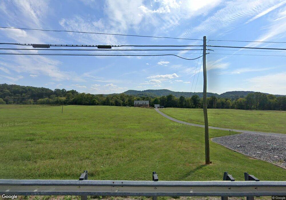
2093 Murfreesboro Rd Woodbury, TN 37190
Cannon County NeighborhoodEstimated Value: $720,000 - $843,774
--
Bed
4
Baths
3,710
Sq Ft
$206/Sq Ft
Est. Value
About This Home
This home is located at 2093 Murfreesboro Rd, Woodbury, TN 37190 and is currently estimated at $765,591, approximately $206 per square foot. 2093 Murfreesboro Rd is a home located in Cannon County with nearby schools including Cannon County High School.
Ownership History
Date
Name
Owned For
Owner Type
Purchase Details
Closed on
Jan 13, 2022
Sold by
Johanson Carole H
Bought by
Carole H Johanson Trust
Current Estimated Value
Purchase Details
Closed on
Jun 17, 1997
Bought by
Johanson Carole
Purchase Details
Closed on
Sep 22, 1994
Bought by
Johanson Carole
Purchase Details
Closed on
Apr 21, 1993
Bought by
Nichols Dale
Create a Home Valuation Report for This Property
The Home Valuation Report is an in-depth analysis detailing your home's value as well as a comparison with similar homes in the area
Home Values in the Area
Average Home Value in this Area
Purchase History
| Date | Buyer | Sale Price | Title Company |
|---|---|---|---|
| Carole H Johanson Trust | -- | Blair Law Firm | |
| Johanson Carole | $32,000 | -- | |
| Johanson Carole | $19,900 | -- | |
| Nichols Dale | $15,000 | -- |
Source: Public Records
Tax History Compared to Growth
Tax History
| Year | Tax Paid | Tax Assessment Tax Assessment Total Assessment is a certain percentage of the fair market value that is determined by local assessors to be the total taxable value of land and additions on the property. | Land | Improvement |
|---|---|---|---|---|
| 2025 | $2,564 | $160,675 | $0 | $0 |
| 2024 | $2,564 | $160,675 | $20,450 | $140,225 |
| 2023 | $2,449 | $160,675 | $20,450 | $140,225 |
| 2022 | $2,506 | $101,850 | $15,275 | $86,575 |
| 2021 | $2,506 | $101,850 | $15,275 | $86,575 |
| 2020 | $2,506 | $101,850 | $15,275 | $86,575 |
| 2019 | $2,506 | $101,850 | $15,275 | $86,575 |
| 2018 | $2,428 | $101,850 | $15,275 | $86,575 |
| 2017 | $2,294 | $79,375 | $13,375 | $66,000 |
| 2016 | $2,183 | $79,375 | $13,375 | $66,000 |
| 2015 | $2,008 | $79,375 | $13,375 | $66,000 |
| 2014 | $2,008 | $79,375 | $13,375 | $66,000 |
Source: Public Records
Map
Nearby Homes
- 0 Hollis Creek Rd
- 310 Deerview Ln
- 954 Locke Creek Rd
- 1036 Locke Creek Rd
- 311 Murfreesboro Rd
- 180 Nichols Dr
- 200 Nichols Dr
- 0 Auburntown Rd Unit RTC2823164
- 604 W Adams St
- 0 W Main St
- 233 Porterfield Rd
- 2859 Locke Creek Rd
- 406 Terrace Ln
- 313 Terrace Ln
- 204 Terrace Ln
- 921 S Mccrary St
- 692 Tanglewood Dr
- 704 Old Manchester Rd
- 301 Old Manchester Rd
- 4375 Hollis Creek Rd
- 2181 Murfreesboro Rd
- 2220 Murfreesboro Rd
- 2270 Murfreesboro Rd
- 757 Hollis Creek Rd
- 286 River Bluff Ln
- 1857 Murfreesboro Rd
- 1930 Murfreesboro Rd
- 487 Hollis Creek Rd
- 0 Hoover Mill Rd Unit RTC2537657
- 0 Hoover Mill Rd Unit RTC2518503
- 0 Hoover Mill Rd Unit RTC2457585
- 0 Hoover Mill Rd
- 0 Mercury Dr Unit 20131647
- 0 Pine Ave Unit 1233679
- 0 Pine Ave Unit 1233031
- 0 Carters Chapel Rd Unit 589913
- 0 Carters Chapel Rd Unit 599060
- 0 Pine Ave Unit 657800
- 0 Carters Chapel Rd Unit 659446
- 0 Pine Ave Unit 673374