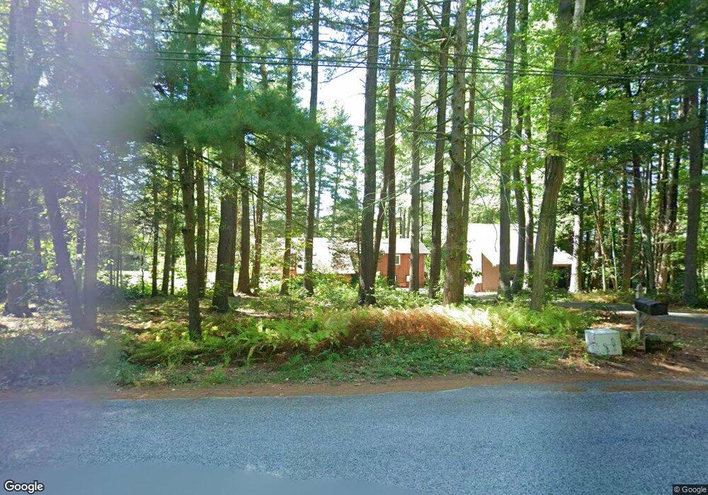
21 Glenview Dr Harvard, MA 01451
Estimated Value: $721,296 - $1,237,000
4
Beds
2
Baths
3,000
Sq Ft
$304/Sq Ft
Est. Value
About This Home
This home is located at 21 Glenview Dr, Harvard, MA 01451 and is currently estimated at $912,074, approximately $304 per square foot. 21 Glenview Dr is a home located in Worcester County.
Ownership History
Date
Name
Owned For
Owner Type
Purchase Details
Closed on
Jun 24, 2009
Sold by
Arnold Timothy T and Arnold Sarah Y
Bought by
Silva Michael D
Current Estimated Value
Home Financials for this Owner
Home Financials are based on the most recent Mortgage that was taken out on this home.
Original Mortgage
$364,000
Outstanding Balance
$231,835
Interest Rate
4.92%
Mortgage Type
Purchase Money Mortgage
Estimated Equity
$680,239
Purchase Details
Closed on
Mar 16, 1999
Sold by
Spitzer Randall R and Spitzer Harriet M
Bought by
Arnold Timothy T and Arnold Sarah Y
Home Financials for this Owner
Home Financials are based on the most recent Mortgage that was taken out on this home.
Original Mortgage
$240,000
Interest Rate
6.73%
Mortgage Type
Purchase Money Mortgage
Create a Home Valuation Report for This Property
The Home Valuation Report is an in-depth analysis detailing your home's value as well as a comparison with similar homes in the area
Home Values in the Area
Average Home Value in this Area
Purchase History
| Date | Buyer | Sale Price | Title Company |
|---|---|---|---|
| Silva Michael D | $455,000 | -- | |
| Arnold Timothy T | $335,000 | -- |
Source: Public Records
Mortgage History
| Date | Status | Borrower | Loan Amount |
|---|---|---|---|
| Open | Silva Michael D | $364,000 | |
| Previous Owner | Arnold Timothy T | $260,000 | |
| Previous Owner | Arnold Timothy T | $260,000 | |
| Previous Owner | Arnold Timothy T | $240,000 | |
| Previous Owner | Arnold Timothy T | $100,000 |
Source: Public Records
Tax History Compared to Growth
Tax History
| Year | Tax Paid | Tax Assessment Tax Assessment Total Assessment is a certain percentage of the fair market value that is determined by local assessors to be the total taxable value of land and additions on the property. | Land | Improvement |
|---|---|---|---|---|
| 2025 | $10,597 | $677,100 | $334,200 | $342,900 |
| 2024 | $10,207 | $685,000 | $320,800 | $364,200 |
| 2023 | $9,845 | $592,700 | $285,400 | $307,300 |
| 2022 | $8,677 | $484,500 | $250,200 | $234,300 |
| 2021 | $444 | $477,400 | $250,200 | $227,200 |
| 2020 | $8,275 | $448,000 | $250,200 | $197,800 |
| 2019 | $7,658 | $439,600 | $250,200 | $189,400 |
| 2018 | $7,688 | $448,300 | $250,200 | $198,100 |
| 2017 | $7,624 | $421,200 | $239,400 | $181,800 |
| 2016 | $7,428 | $411,500 | $229,700 | $181,800 |
Source: Public Records
Map
Nearby Homes
- 0 Ayer & Old Mill Rd
- 45 S Shaker Rd
- 18A S Shaker Rd
- 78 Shaker Rd
- 61 Willard St
- 24 Harvard Rd Unit C
- 82 Littleton Rd
- 166 Littleton Rd Unit 3
- 7 Groton Harvard Rd
- 63 E Main St
- 41 E Main St
- 87 Ayer Rd
- 31 Independence Dr
- 17 Grove St
- 75 Sandy Pond Rd Unit 44
- 139 Depot Rd
- 332 Old Littleton Rd
- 21 High St
- 17 Chestnut Ln
- 8 High St
- 25 Glenview Dr
- 31 Glenview Dr
- 22 Glenview Dr
- 22 Glenview Dr
- 28 Glenview Dr
- 33 Glenview Dr
- 10 Glenview Dr
- 15 Glenview Dr
- 262 Ayer Rd
- 262 Ayer Rd
- 34 Glenview Dr
- 19 S Shaker Rd
- 30 Glenview Dr
- 39 Glenview Dr
- 39 Glenview Dr
- 270 Ayer Rd Unit 1
- 270 Ayer Rd Unit 2
- 270 Ayer Rd Unit 4
- 20 S Shaker Rd
- 36 S Shaker Rd