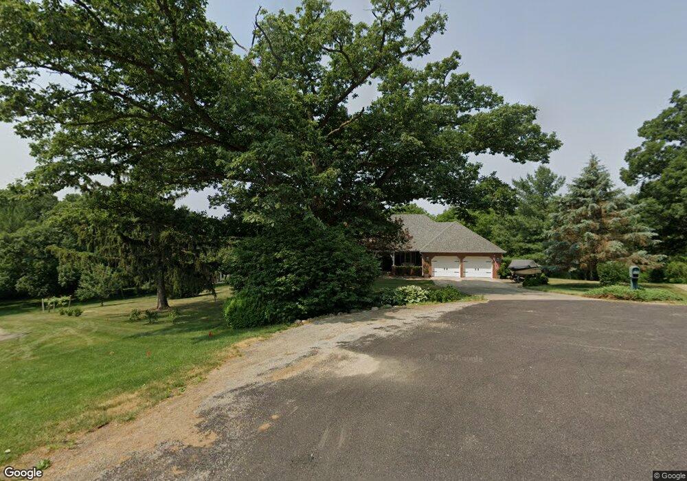
21 Kruse Ct Groveland, IL 61535
Estimated Value: $408,000 - $491,000
3
Beds
3
Baths
2,173
Sq Ft
$212/Sq Ft
Est. Value
About This Home
This home is located at 21 Kruse Ct, Groveland, IL 61535 and is currently estimated at $461,632, approximately $212 per square foot. 21 Kruse Ct is a home located in Tazewell County with nearby schools including Tremont Elementary School, Tremont Middle School, and Tremont High School.
Ownership History
Date
Name
Owned For
Owner Type
Purchase Details
Closed on
Jul 5, 2022
Sold by
Lambdin Anthony C and Lambdin Christy C
Bought by
Lambdin Trust
Current Estimated Value
Purchase Details
Closed on
Jan 17, 2017
Sold by
Burton George D and Burton Mary Ann
Bought by
Lambdin Anthony C and Lambdin Christy C
Home Financials for this Owner
Home Financials are based on the most recent Mortgage that was taken out on this home.
Original Mortgage
$340,000
Interest Rate
4.13%
Mortgage Type
New Conventional
Create a Home Valuation Report for This Property
The Home Valuation Report is an in-depth analysis detailing your home's value as well as a comparison with similar homes in the area
Home Values in the Area
Average Home Value in this Area
Purchase History
| Date | Buyer | Sale Price | Title Company |
|---|---|---|---|
| Lambdin Trust | -- | Benckendorf & Benckendorf Pc | |
| Lambdin Anthony C | $425,000 | -- |
Source: Public Records
Mortgage History
| Date | Status | Borrower | Loan Amount |
|---|---|---|---|
| Previous Owner | Lambdin Anthony C | $340,000 |
Source: Public Records
Tax History Compared to Growth
Tax History
| Year | Tax Paid | Tax Assessment Tax Assessment Total Assessment is a certain percentage of the fair market value that is determined by local assessors to be the total taxable value of land and additions on the property. | Land | Improvement |
|---|---|---|---|---|
| 2024 | $8,106 | $142,590 | $10,960 | $131,630 |
| 2023 | $8,106 | $130,910 | $10,060 | $120,850 |
| 2022 | $7,822 | $121,880 | $9,370 | $112,510 |
| 2021 | $7,940 | $117,190 | $9,010 | $108,180 |
| 2020 | $7,908 | $114,890 | $8,830 | $106,060 |
| 2019 | $7,839 | $114,890 | $8,830 | $106,060 |
| 2018 | $7,701 | $114,890 | $8,830 | $106,060 |
| 2017 | $7,221 | $114,890 | $8,830 | $106,060 |
| 2016 | $7,115 | $112,620 | $8,650 | $103,970 |
| 2015 | $7,124 | $0 | $0 | $0 |
| 2013 | $7,030 | $112,620 | $8,650 | $103,970 |
Source: Public Records
Map
Nearby Homes
- 5559 Broadway Rd
- 5859 Broadway Rd
- 16810 Springfield Rd
- 4851 Sheridan Rd
- 305 Conaghan Dr
- 123 Apache Way
- 210 Apache Way
- 109 Apache Way
- 19314 Springfield Rd
- 105 Apache Way
- 417 Apache Way
- 101 Apache Way
- 305 Apache Way
- 19478 Springfield Rd
- 105 Sheffield Rd
- 116 Lost Creek Ct
- 107 Lost Creek Ct
- 105 Royal Point Ct
- 1920-1922 Mayflower Dr
- 1960-1962 Mayflower Dr
- 11 Kruse Ct
- 20 Kruse Ct
- 7 Kruse Ct
- 5596 Broadway Rd
- 16 Kruse Ct
- 5492 Broadway Rd
- 5492 Broadway Rd
- 5656 Broadway Rd
- 5658 Broadway Rd
- 16800 Springfield Rd
- 5551 Broadway Rd
- 5454 Broadway Rd
- 5493 Broadway Rd
- 5768 Broadway Rd
- 5601 Broadway Rd
- 5394 Broadway Rd
- 5555 Broadway Rd
- 5687 Broadway Rd
- 5770 Broadway Rd
- 5425 Broadway Rd