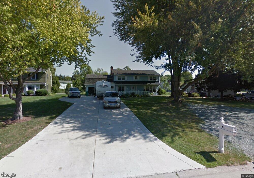
21 Wheatstone Cir Fairport, NY 14450
Estimated Value: $347,000 - $462,000
5
Beds
3
Baths
2,356
Sq Ft
$177/Sq Ft
Est. Value
About This Home
This home is located at 21 Wheatstone Cir, Fairport, NY 14450 and is currently estimated at $417,851, approximately $177 per square foot. 21 Wheatstone Cir is a home located in Monroe County with nearby schools including Jefferson Avenue Elementary School, Johanna Perrin Middle School, and Minerva Deland School.
Ownership History
Date
Name
Owned For
Owner Type
Purchase Details
Closed on
Nov 15, 2005
Sold by
Pittinaro David
Bought by
Posella Thomas
Current Estimated Value
Home Financials for this Owner
Home Financials are based on the most recent Mortgage that was taken out on this home.
Original Mortgage
$156,000
Outstanding Balance
$85,632
Interest Rate
6.07%
Mortgage Type
New Conventional
Estimated Equity
$332,219
Create a Home Valuation Report for This Property
The Home Valuation Report is an in-depth analysis detailing your home's value as well as a comparison with similar homes in the area
Home Values in the Area
Average Home Value in this Area
Purchase History
| Date | Buyer | Sale Price | Title Company |
|---|---|---|---|
| Posella Thomas | $195,000 | Robert Place |
Source: Public Records
Mortgage History
| Date | Status | Borrower | Loan Amount |
|---|---|---|---|
| Open | Posella Thomas | $156,000 |
Source: Public Records
Tax History Compared to Growth
Tax History
| Year | Tax Paid | Tax Assessment Tax Assessment Total Assessment is a certain percentage of the fair market value that is determined by local assessors to be the total taxable value of land and additions on the property. | Land | Improvement |
|---|---|---|---|---|
| 2024 | $8,804 | $222,000 | $44,500 | $177,500 |
| 2023 | $8,569 | $222,000 | $44,500 | $177,500 |
| 2022 | $8,266 | $222,000 | $44,500 | $177,500 |
| 2021 | $8,253 | $222,000 | $44,500 | $177,500 |
| 2020 | $8,058 | $222,000 | $44,500 | $177,500 |
| 2019 | $6,818 | $222,000 | $44,500 | $177,500 |
| 2018 | $7,150 | $222,000 | $44,500 | $177,500 |
| 2017 | $4,207 | $205,600 | $44,500 | $161,100 |
| 2016 | $6,818 | $205,600 | $44,500 | $161,100 |
| 2015 | -- | $205,600 | $44,500 | $161,100 |
| 2014 | -- | $205,600 | $44,500 | $161,100 |
Source: Public Records
Map
Nearby Homes
- 603 Watson Rd
- 15 Whitney Farms Cir
- 19 Homestead Dr
- 1331 Whitney Rd E
- 70 High St
- 12 Deland Park A
- 255 Watson Rd
- 79 Saint Andrews Blvd
- 9 Killeen Dr
- 86 Broxbourne Dr
- 2 Foxpointe Cir
- 105 Packetts Glen
- 3 Packetts Glen
- 3 Acadian Rise
- 30 Cali Ridge
- 112 Roselawn Ave
- 76 - 78 Summit St
- 4 Arbor Ct
- 139 Balmoral Dr
- 5 New Wickham Dr
- 23 Wheatstone Cir
- 2 Rockford Ln
- 4 Rockford Ln
- 25 Wheatstone Cir
- 611 Watson Rd
- 619 Watson Rd
- 20 Wheatstone Cir
- 27 Wheatstone Cir
- 18 Wheatstone Cir
- 24 Wheatstone Cir
- 6 Rockford Ln
- 595 Watson Rd
- 627 Watson Rd
- 1 Rockford Ln
- 16 Wheatstone Cir
- 29 Wheatstone Cir
- 587 Watson Rd
- 3 Rockford Ln
- 635 Watson Rd
- 7 Rockford Ln