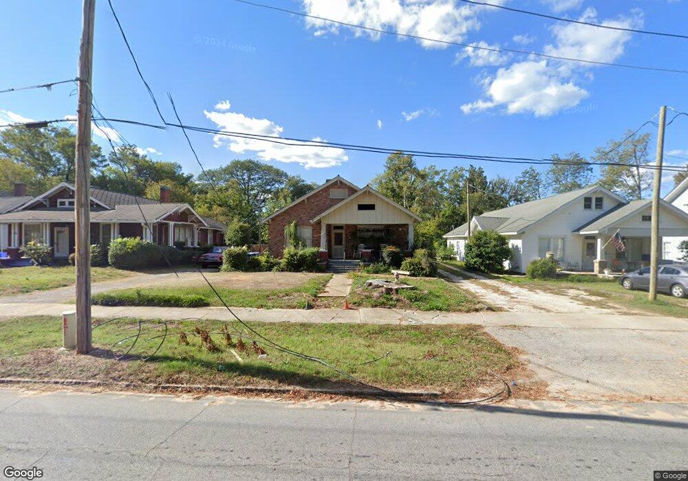
210 Durst Ave W Greenwood, SC 29649
Estimated Value: $188,000 - $299,000
2
Beds
2
Baths
2,155
Sq Ft
$104/Sq Ft
Est. Value
About This Home
This home is located at 210 Durst Ave W, Greenwood, SC 29649 and is currently estimated at $224,375, approximately $104 per square foot. 210 Durst Ave W is a home with nearby schools including Merrywood Elementary School, Northside Middle School, and Greenwood High School.
Ownership History
Date
Name
Owned For
Owner Type
Purchase Details
Closed on
Oct 2, 2017
Sold by
Moore James L and Estate Of Harry Michael Lane
Bought by
Moore James L
Current Estimated Value
Purchase Details
Closed on
Jan 25, 2006
Sold by
Moore James L
Bought by
Moore Pamela S
Home Financials for this Owner
Home Financials are based on the most recent Mortgage that was taken out on this home.
Original Mortgage
$59,024
Interest Rate
6.21%
Mortgage Type
New Conventional
Create a Home Valuation Report for This Property
The Home Valuation Report is an in-depth analysis detailing your home's value as well as a comparison with similar homes in the area
Home Values in the Area
Average Home Value in this Area
Purchase History
| Date | Buyer | Sale Price | Title Company |
|---|---|---|---|
| Moore James L | -- | None Available | |
| Moore Pamela S | -- | -- |
Source: Public Records
Mortgage History
| Date | Status | Borrower | Loan Amount |
|---|---|---|---|
| Previous Owner | Moore Pamela S | $59,024 |
Source: Public Records
Tax History Compared to Growth
Tax History
| Year | Tax Paid | Tax Assessment Tax Assessment Total Assessment is a certain percentage of the fair market value that is determined by local assessors to be the total taxable value of land and additions on the property. | Land | Improvement |
|---|---|---|---|---|
| 2024 | $738 | $4,270 | $0 | $0 |
| 2023 | $738 | $4,270 | $0 | $0 |
| 2022 | $720 | $4,270 | $0 | $0 |
| 2021 | $720 | $4,270 | $0 | $0 |
| 2020 | $681 | $4,070 | $0 | $0 |
| 2019 | $1,223 | $4,070 | $0 | $0 |
| 2018 | $1,196 | $101,700 | $15,000 | $86,700 |
| 2017 | $1,196 | $101,700 | $15,000 | $86,700 |
| 2016 | $1,197 | $101,700 | $15,000 | $86,700 |
| 2015 | $1,060 | $91,300 | $16,100 | $75,200 |
| 2014 | $1,057 | $3,650 | $0 | $0 |
| 2010 | -- | $79,400 | $14,000 | $65,400 |
Source: Public Records
Map
Nearby Homes
- 215 Grace St
- 152 Grace St
- 229 Reynolds Ave
- 205 Blyth Ave
- 107 Burberry Circle Lt 19
- 203 Oristo Dr
- 210 Burberry Circle Lot 60
- 111 Burberry Circle Lot 21
- 106 Ero Dr
- 128 Burberry Circle Lot 12
- 112 Burberry Cir Lot 6
- 110 Ero Dr
- 106 Farnum Rd
- 126
- 108 Ero Dr
- 209 Farnum Rd
- 0 S Hwy 178 Unit 134648
- 133 Burlwood Lot 17
- 109 Burberry Circle Lot 20
- 102 Farnum Rd
- 208 Durst Ave W
- 212 Durst Ave W
- 206 Durst Ave W
- 0 W Unit 131905
- 214 Durst Ave W
- 204 Durst Ave W
- 216 Durst Ave W
- 111 Durst Ave W
- 202 Durst Ave W
- 218 Durst Ave W
- 310 Barksdale St
- 113 Durst Ave W
- 220 Durst Ave W
- 107 Durst Ave W
- 222 Durst Ave W
- 314/316 Lawson St
- 106 Durst Ave W
- 320 Lawson St
- 105 Durst Ave W
- 315 Barksdale St