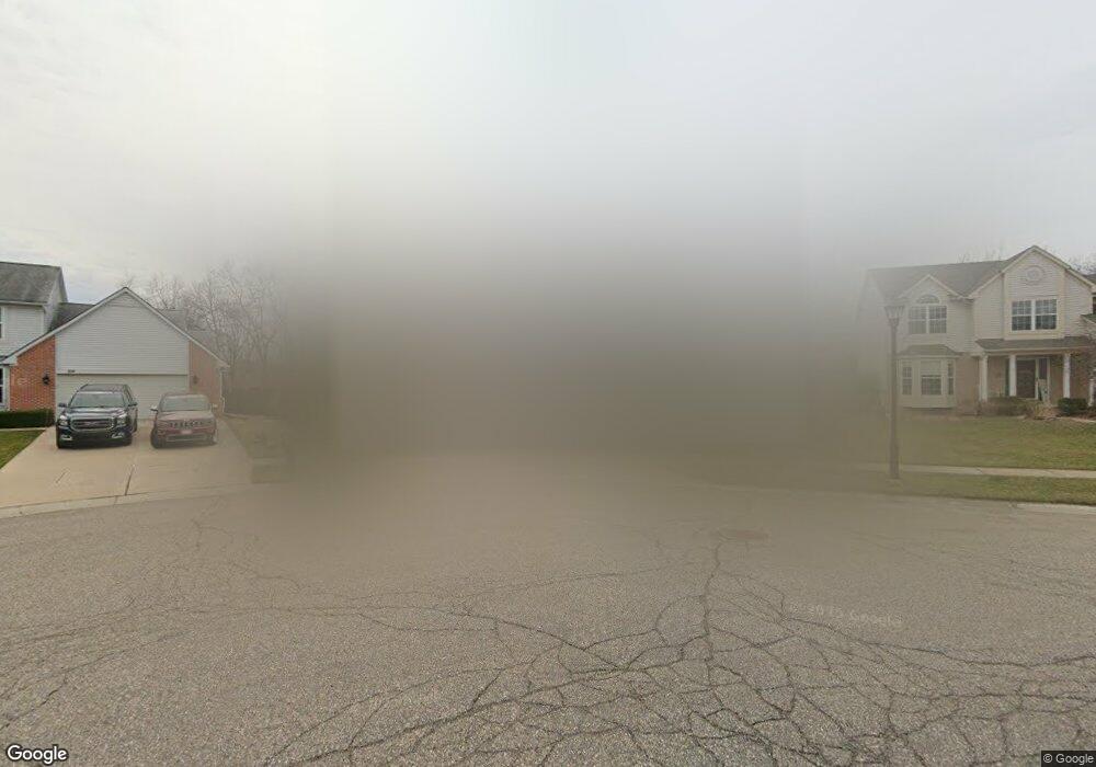
210 Easton Dr South Lyon, MI 48178
Estimated Value: $492,677 - $546,000
4
Beds
3
Baths
2,558
Sq Ft
$206/Sq Ft
Est. Value
About This Home
This home is located at 210 Easton Dr, South Lyon, MI 48178 and is currently estimated at $526,169, approximately $205 per square foot. 210 Easton Dr is a home located in Oakland County with nearby schools including Sayre Elementary School, Millennium Middle School, and South Lyon East High School.
Ownership History
Date
Name
Owned For
Owner Type
Purchase Details
Closed on
Jun 18, 2007
Sold by
Blankenship Michael J and Blankenship Susan M
Bought by
Blankenship Michael J and Blankenship Susan M
Current Estimated Value
Purchase Details
Closed on
Mar 24, 2000
Sold by
Multi Building Co Inc
Bought by
Blankenship Michael J
Home Financials for this Owner
Home Financials are based on the most recent Mortgage that was taken out on this home.
Original Mortgage
$155,000
Outstanding Balance
$52,531
Interest Rate
8.29%
Estimated Equity
$473,638
Create a Home Valuation Report for This Property
The Home Valuation Report is an in-depth analysis detailing your home's value as well as a comparison with similar homes in the area
Home Values in the Area
Average Home Value in this Area
Purchase History
| Date | Buyer | Sale Price | Title Company |
|---|---|---|---|
| Blankenship Michael J | -- | None Available | |
| Blankenship Michael J | -- | -- |
Source: Public Records
Mortgage History
| Date | Status | Borrower | Loan Amount |
|---|---|---|---|
| Open | Blankenship Michael J | $155,000 |
Source: Public Records
Tax History Compared to Growth
Tax History
| Year | Tax Paid | Tax Assessment Tax Assessment Total Assessment is a certain percentage of the fair market value that is determined by local assessors to be the total taxable value of land and additions on the property. | Land | Improvement |
|---|---|---|---|---|
| 2024 | $5,551 | $205,990 | $0 | $0 |
| 2023 | $5,208 | $191,170 | $0 | $0 |
| 2022 | $5,039 | $181,060 | $0 | $0 |
| 2021 | $4,794 | $169,870 | $0 | $0 |
| 2020 | $4,642 | $166,810 | $0 | $0 |
| 2019 | $4,747 | $166,050 | $0 | $0 |
| 2018 | $4,624 | $155,010 | $0 | $0 |
| 2017 | $4,645 | $154,710 | $0 | $0 |
| 2016 | $4,605 | $145,240 | $0 | $0 |
| 2015 | -- | $135,980 | $0 | $0 |
| 2014 | -- | $124,820 | $0 | $0 |
| 2011 | -- | $101,410 | $0 | $0 |
Source: Public Records
Map
Nearby Homes
- 204 Maplewood Ct Unit 4
- 105 Aspen Way Unit 12
- 59121 Oasis Center Dr
- 59550 10 Mile Rd
- 404 Stryker St
- 942 Westbrooke Dr
- 975 S Parkwood Dr
- 27487 Pontiac Trail
- 22622 Pine Dr
- 58415 10 Mile Rd
- 22150 Donnas Drive St
- 162 Princeton Dr
- 108 Princeton Dr Unit 4
- 320 Hampton Ct Unit 33
- 21587 Hasenclever Dr
- 429 Cambridge Ave
- 25100 Martindale Rd
- 25638 Mccrory Ln
- 22820 Martin Rd
- 58423 Winnowing Cir N