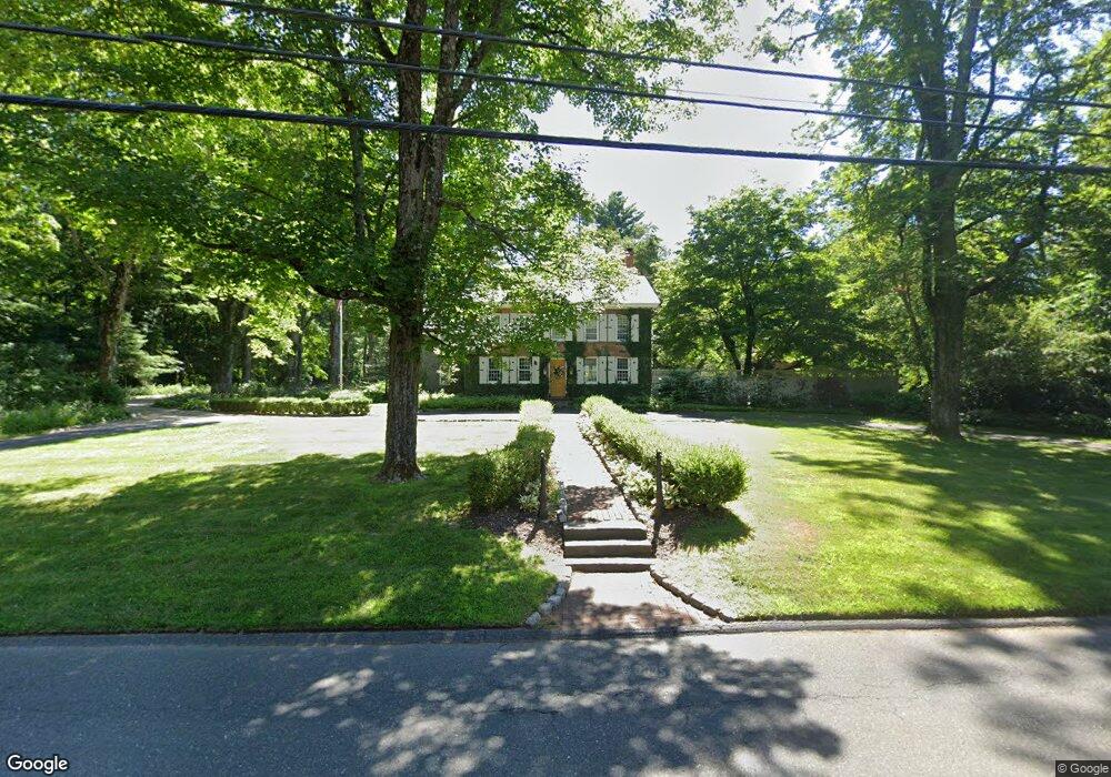
210 Old Farms Rd Simsbury, CT 06070
Estimated Value: $791,001 - $886,000
4
Beds
4
Baths
3,448
Sq Ft
$246/Sq Ft
Est. Value
About This Home
This home is located at 210 Old Farms Rd, Simsbury, CT 06070 and is currently estimated at $847,500, approximately $245 per square foot. 210 Old Farms Rd is a home located in Hartford County with nearby schools including Squadron Line School, Henry James Memorial School, and Simsbury High School.
Ownership History
Date
Name
Owned For
Owner Type
Purchase Details
Closed on
Jun 14, 1996
Sold by
Schusto Beverly
Bought by
Schuster Rollin and Schuster Amy
Current Estimated Value
Home Financials for this Owner
Home Financials are based on the most recent Mortgage that was taken out on this home.
Original Mortgage
$243,000
Interest Rate
7.25%
Mortgage Type
Unknown
Create a Home Valuation Report for This Property
The Home Valuation Report is an in-depth analysis detailing your home's value as well as a comparison with similar homes in the area
Home Values in the Area
Average Home Value in this Area
Purchase History
| Date | Buyer | Sale Price | Title Company |
|---|---|---|---|
| Schuster Rollin | $270,000 | -- |
Source: Public Records
Mortgage History
| Date | Status | Borrower | Loan Amount |
|---|---|---|---|
| Open | Schuster Rollin | $50,000 | |
| Closed | Schuster Rollin | $252,000 | |
| Closed | Schuster Rollin | $243,000 |
Source: Public Records
Tax History Compared to Growth
Tax History
| Year | Tax Paid | Tax Assessment Tax Assessment Total Assessment is a certain percentage of the fair market value that is determined by local assessors to be the total taxable value of land and additions on the property. | Land | Improvement |
|---|---|---|---|---|
| 2025 | $15,120 | $442,610 | $92,190 | $350,420 |
| 2024 | $14,743 | $442,610 | $92,190 | $350,420 |
| 2023 | $14,084 | $442,610 | $92,190 | $350,420 |
| 2022 | $13,278 | $343,720 | $127,200 | $216,520 |
| 2021 | $13,278 | $343,720 | $127,200 | $216,520 |
| 2020 | $12,749 | $343,720 | $127,200 | $216,520 |
| 2019 | $12,828 | $343,720 | $127,200 | $216,520 |
| 2018 | $12,920 | $343,720 | $127,200 | $216,520 |
| 2017 | $13,137 | $338,940 | $128,180 | $210,760 |
| 2016 | $12,581 | $338,940 | $128,180 | $210,760 |
| 2015 | $12,581 | $338,940 | $128,180 | $210,760 |
| 2014 | $12,588 | $338,940 | $128,180 | $210,760 |
Source: Public Records
Map
Nearby Homes
- 247 Old Farms Rd
- 324 Firetown Rd
- 9 Gretel Ln
- 25 Barry Ln
- 18 Meadowlark Rd
- 2 North Dr
- 26 Winterset Ln
- 537 Cherry Brook Rd
- 40 Firetown Rd Unit 39
- 4 Stonewall Dr
- 7R Stonewall Dr
- 27 Ridge Rd
- 45 Hoskins Rd
- 16 Stratton Forest Way
- 48 Library Ln Unit 48
- 87 Cambridge Ct
- 35 Rustle Meadow Ln
- 1 West St Unit 206
- 175 Case St
- 5 Washington Dr
- 216 Great Pond Rd
- 218 Old Farms Rd
- 4 Elcy Way
- 5 Elcy Way
- 200 Old Farms Rd
- 224 Old Farms Rd
- 221 Old Farms Rd
- 224 Old Farms Rd
- 7 Elcy Way
- 6 Elcy Way
- 194 Old Farms Rd
- 228 Old Farms Rd
- 10 Elcy Way
- 215 Great Pond Rd
- 225 Old Farms Rd
- 188 Old Farms Rd
- 187 Old Farms Rd
- 205 Great Pond Rd
- 211 Great Pond Rd
- 237 Old Farms Rd