210 Pioneer Dr Defuniak Springs, FL 32433
Estimated Value: $170,000 - $241,000
3
Beds
1
Bath
1,040
Sq Ft
$199/Sq Ft
Est. Value
About This Home
This home is located at 210 Pioneer Dr, Defuniak Springs, FL 32433 and is currently estimated at $207,233, approximately $199 per square foot. 210 Pioneer Dr is a home with nearby schools including Maude Saunders Elementary School, West Defuniak Elementary School, and Walton Middle School.
Ownership History
Date
Name
Owned For
Owner Type
Purchase Details
Closed on
Dec 18, 2024
Sold by
Mann Carl
Bought by
Davis Debra Viola
Current Estimated Value
Purchase Details
Closed on
Nov 5, 2012
Sold by
Burke Barbara A
Bought by
Davis Debra
Purchase Details
Closed on
May 20, 2002
Sold by
Mcinally Barbara Ann
Bought by
Burke James E and Burke Barbara Ann Mcinally
Home Financials for this Owner
Home Financials are based on the most recent Mortgage that was taken out on this home.
Original Mortgage
$62,250
Interest Rate
6.98%
Create a Home Valuation Report for This Property
The Home Valuation Report is an in-depth analysis detailing your home's value as well as a comparison with similar homes in the area
Home Values in the Area
Average Home Value in this Area
Purchase History
| Date | Buyer | Sale Price | Title Company |
|---|---|---|---|
| Davis Debra Viola | $100 | None Listed On Document | |
| Davis Debra | -- | None Available | |
| Burke James E | -- | Stewart Acquire Land Title L |
Source: Public Records
Mortgage History
| Date | Status | Borrower | Loan Amount |
|---|---|---|---|
| Previous Owner | Burke James E | $62,250 |
Source: Public Records
Tax History Compared to Growth
Tax History
| Year | Tax Paid | Tax Assessment Tax Assessment Total Assessment is a certain percentage of the fair market value that is determined by local assessors to be the total taxable value of land and additions on the property. | Land | Improvement |
|---|---|---|---|---|
| 2024 | $332 | $63,286 | -- | -- |
| 2023 | $332 | $61,443 | $0 | $0 |
| 2022 | $331 | $59,653 | $0 | $0 |
| 2021 | $336 | $57,916 | $0 | $0 |
| 2020 | $342 | $57,172 | $4,732 | $52,440 |
| 2019 | $334 | $55,832 | $0 | $0 |
| 2018 | $330 | $54,791 | $0 | $0 |
| 2017 | $330 | $54,545 | $4,640 | $49,905 |
| 2016 | $334 | $54,863 | $0 | $0 |
| 2015 | $337 | $54,482 | $0 | $0 |
| 2014 | $346 | $55,308 | $0 | $0 |
Source: Public Records
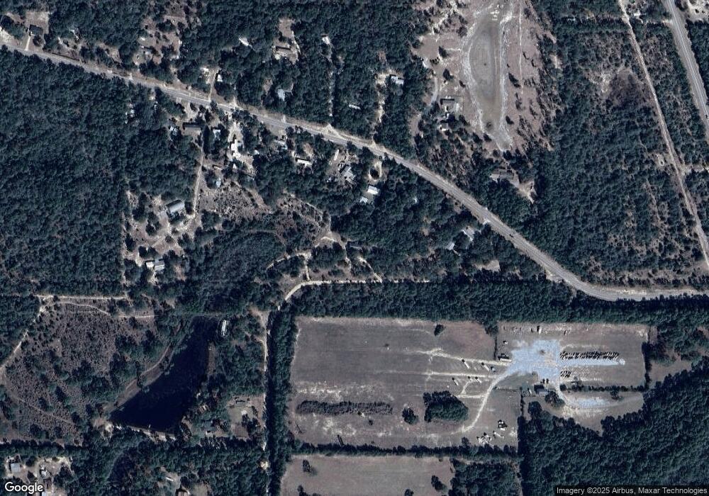
Map
Nearby Homes
- 000 Puccini Dr
- 205 Florence Dr
- 1.2 acres On Kelly St
- 175 Bob McCaskill Dr
- 353 Florence Dr
- 1069 Caswell Rd
- 3.45 Acres Bob McCaskill Dr
- 450 Roberts Dr
- 362 Schubert Cir
- 0 Juniper Lake Dr
- Lot 31 Caswell Rd
- LOT 5 Beethoven Cir
- Lot 38 Holly Lake Ct
- 1246 Us Hwy 331 N
- 2.37ac. Martin Rd
- 113 Andy Nowling Rd
- 745 Roberts Dr
- 618 Oakridge Rd
- 1249 Martin Rd
- 1259 Martin Rd
- 345 Caswell Rd
- 275 Caswell Rd
- 352 Caswell Rd
- 537 Caswell Rd
- X Caswell Rd
- 266 Pioneer Dr
- 396 Pioneer Dr
- 562 Caswell Rd
- 640 Caswell Rd
- Parcel A Hwy 331 N
- 555 Pioneer Dr
- PARCEL B Hwy 331 N
- Parcel A/B Hwy 331 N
- 690 Caswell Rd
- 746 Caswell Rd
- 42 Puccini Dr
- 122 Scott Ct
- 84 Roberts Rd E
- 83 Roberts Dr
- 2385 Us Highway 331 N