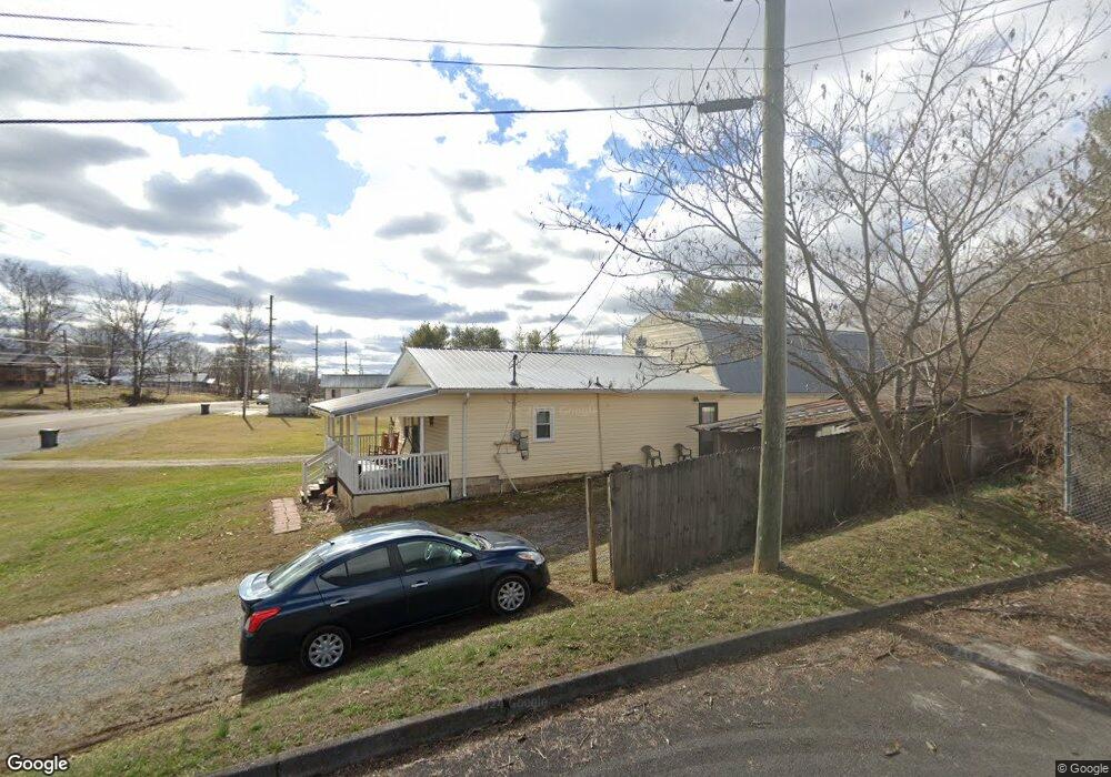
2100 Highway 75 Blountville, TN 37617
Estimated Value: $187,173 - $294,000
--
Bed
1
Bath
1,008
Sq Ft
$240/Sq Ft
Est. Value
About This Home
This home is located at 2100 Highway 75, Blountville, TN 37617 and is currently estimated at $242,293, approximately $240 per square foot. 2100 Highway 75 is a home located in Sullivan County with nearby schools including Holston Elementary School, Sullivan Central Middle School, and Tri-Cities Christian Academy.
Ownership History
Date
Name
Owned For
Owner Type
Purchase Details
Closed on
Feb 4, 2019
Sold by
Smith Larry Carson and Smith Judith Ann
Bought by
Ryans Kenneth R and Ryans Julia
Current Estimated Value
Home Financials for this Owner
Home Financials are based on the most recent Mortgage that was taken out on this home.
Original Mortgage
$89,996
Outstanding Balance
$79,123
Interest Rate
4.5%
Mortgage Type
FHA
Estimated Equity
$163,170
Purchase Details
Closed on
Aug 21, 2008
Sold by
Williams Fate J
Bought by
Carson Smith Larry
Create a Home Valuation Report for This Property
The Home Valuation Report is an in-depth analysis detailing your home's value as well as a comparison with similar homes in the area
Home Values in the Area
Average Home Value in this Area
Purchase History
| Date | Buyer | Sale Price | Title Company |
|---|---|---|---|
| Ryans Kenneth R | $120,000 | Radiant Title Llc | |
| Carson Smith Larry | $22,000 | -- |
Source: Public Records
Mortgage History
| Date | Status | Borrower | Loan Amount |
|---|---|---|---|
| Open | Ryans Kenneth R | $89,996 |
Source: Public Records
Tax History Compared to Growth
Tax History
| Year | Tax Paid | Tax Assessment Tax Assessment Total Assessment is a certain percentage of the fair market value that is determined by local assessors to be the total taxable value of land and additions on the property. | Land | Improvement |
|---|---|---|---|---|
| 2024 | $675 | $27,050 | $5,725 | $21,325 |
| 2023 | $651 | $27,050 | $5,725 | $21,325 |
| 2022 | $640 | $26,600 | $5,725 | $20,875 |
| 2021 | $640 | $26,600 | $5,725 | $20,875 |
| 2020 | $495 | $26,600 | $5,725 | $20,875 |
| 2019 | $495 | $19,250 | $5,725 | $13,525 |
| 2018 | $491 | $19,250 | $5,725 | $13,525 |
| 2017 | $491 | $19,250 | $5,725 | $13,525 |
| 2016 | $372 | $14,425 | $5,725 | $8,700 |
| 2014 | $332 | $14,421 | $0 | $0 |
Source: Public Records
Map
Nearby Homes
- 2188 Tennessee 75
- 210 Centenary Rd
- The Quinn Plan at Ashland Oaks
- The Audrey Plan at Ashland Oaks
- Phoenix Single Plan at Ashland Oaks
- 355 Holston Dr
- 132 Sanders St
- 101 Bond Town Rd
- 1091 Shipley Ferry Rd
- 205 Grande Harbor Way
- 191 Grande Harbor Way
- 129 Forest Ln N
- 148 Forest Ln S
- 205 Forest Ct
- 239 Brown Cir
- 550 Country View Private Dr
- 145 Grande Harbor Way
- 156 Forest Ln N
- 295 Brown Cir
- 164 Forest Ln N
- 2122 Highway 75
- 2120 Highway 75
- 2125 Highway 75
- 120 Cash Ave
- 2144 Highway 75
- 2147 Highway 75
- 2154 Highway 75
- 147 Cash Ave
- 140 Cash Ave
- 2017 Highway 75
- 2017 Highway 75 Unit 1
- 2160 Highway 75 Unit 2164
- 0 Highway 75
- 2178 Highway 75
- 2178 Tennessee 75
- 2179 Tennessee 75
- 2175 Tennessee 75 Unit 1
- 190 Cash Ave
- 196 Cash Ave
- 2228 Highway 75