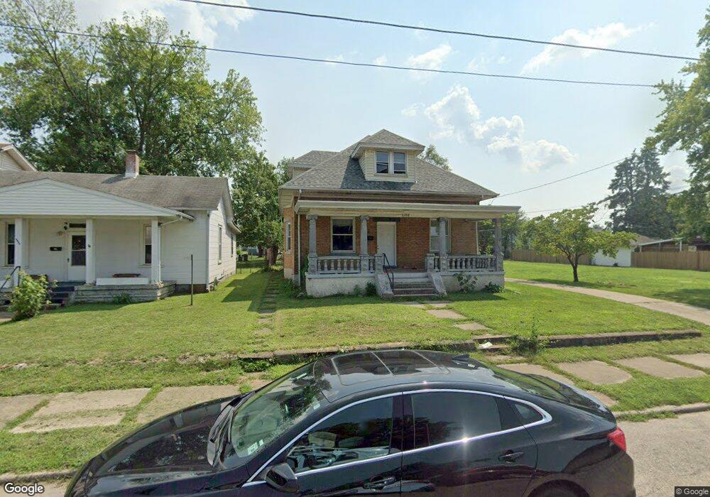
2100 Logan Ave Middletown, OH 45044
Sherman NeighborhoodEstimated Value: $146,000 - $167,000
3
Beds
2
Baths
1,843
Sq Ft
$84/Sq Ft
Est. Value
About This Home
This home is located at 2100 Logan Ave, Middletown, OH 45044 and is currently estimated at $153,983, approximately $83 per square foot. 2100 Logan Ave is a home located in Butler County with nearby schools including Amanda Elementary School, Highview 6th Grade Center, and Middletown Middle School.
Ownership History
Date
Name
Owned For
Owner Type
Purchase Details
Closed on
Jun 18, 2021
Sold by
Anderson Paul N
Bought by
Asllani Bekim
Current Estimated Value
Purchase Details
Closed on
May 28, 2004
Sold by
Rice Mary C
Bought by
Anderson Paul N
Home Financials for this Owner
Home Financials are based on the most recent Mortgage that was taken out on this home.
Original Mortgage
$85,000
Interest Rate
5.25%
Mortgage Type
Purchase Money Mortgage
Create a Home Valuation Report for This Property
The Home Valuation Report is an in-depth analysis detailing your home's value as well as a comparison with similar homes in the area
Home Values in the Area
Average Home Value in this Area
Purchase History
| Date | Buyer | Sale Price | Title Company |
|---|---|---|---|
| Asllani Bekim | $48,000 | None Available | |
| Anderson Paul N | $85,000 | -- |
Source: Public Records
Mortgage History
| Date | Status | Borrower | Loan Amount |
|---|---|---|---|
| Previous Owner | Anderson Paul N | $85,000 |
Source: Public Records
Tax History Compared to Growth
Tax History
| Year | Tax Paid | Tax Assessment Tax Assessment Total Assessment is a certain percentage of the fair market value that is determined by local assessors to be the total taxable value of land and additions on the property. | Land | Improvement |
|---|---|---|---|---|
| 2024 | $1,797 | $33,900 | $4,580 | $29,320 |
| 2023 | $1,786 | $34,230 | $4,580 | $29,650 |
| 2022 | $1,417 | $23,780 | $4,580 | $19,200 |
| 2021 | $1,364 | $23,780 | $4,580 | $19,200 |
| 2020 | $1,421 | $23,780 | $4,580 | $19,200 |
| 2019 | $1,047 | $14,450 | $4,480 | $9,970 |
| 2018 | $936 | $14,450 | $4,480 | $9,970 |
| 2017 | $937 | $14,450 | $4,480 | $9,970 |
| 2016 | $824 | $12,170 | $4,480 | $7,690 |
| 2015 | $813 | $12,170 | $4,480 | $7,690 |
| 2014 | $1,595 | $12,170 | $4,480 | $7,690 |
| 2013 | $1,595 | $26,710 | $4,480 | $22,230 |
Source: Public Records
Map
Nearby Homes
- 319 Moore St
- 2208 Superior Ave
- 401 S Sutphin St
- 1814.5 Logan Ave
- 407 S Sutphin St
- 2124 Sherman Ave
- 408 Moore St
- 410 Moore St
- 2016 Linden Ave
- 2112 Central Ave
- 2113 Central Ave
- 2007 Central Ave
- 2115 Central Ave
- 2119 Central Ave
- 1814 Logan Ave
- 2420 Superior Ave
- 2406 S Sutphin St
- 2109 Queen Ave
- 501 Stanley St
- 19 Mckinley St
- 2024 Logan Ave
- 2022 Logan Ave
- 2102 Logan Ave
- 2020 Logan Ave
- 2104 Logan Ave
- 2101 Logan Ave
- 2018 Logan Ave
- 2106 Logan Ave
- 2103 Logan Ave
- 2023 Logan Ave
- 2101 Sherman Ave
- 2016 Logan Ave
- 2103 Sherman Ave
- 2105 Logan Ave
- 2021 Logan Ave
- 2025 Sherman Ave
- 2105 Sherman Ave
- 2023 Sherman Ave
- 2107 Logan Ave
- 2108 Logan Ave