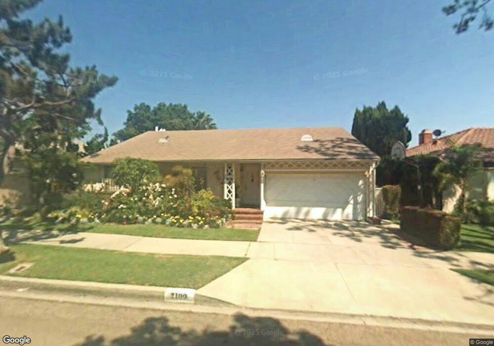
2100 S Canfield Ave Los Angeles, CA 90034
Beverlywood NeighborhoodEstimated Value: $1,790,000 - $2,169,000
3
Beds
2
Baths
1,461
Sq Ft
$1,318/Sq Ft
Est. Value
About This Home
This home is located at 2100 S Canfield Ave, Los Angeles, CA 90034 and is currently estimated at $1,925,418, approximately $1,317 per square foot. 2100 S Canfield Ave is a home located in Los Angeles County with nearby schools including Castle Heights Elementary, Palms Middle School, and Alexander Hamilton Senior High School.
Ownership History
Date
Name
Owned For
Owner Type
Purchase Details
Closed on
Oct 9, 2013
Sold by
Flascha Stephan Leo
Bought by
Flascha Stephan Leo and Flascha Corazon
Current Estimated Value
Purchase Details
Closed on
Aug 29, 2003
Sold by
Flascha Stephan L
Bought by
The Stephan Leo Flascha Living Trust
Purchase Details
Closed on
Jul 10, 2002
Sold by
Flascha Corazon V
Bought by
Flascha Stephan L
Home Financials for this Owner
Home Financials are based on the most recent Mortgage that was taken out on this home.
Original Mortgage
$300,700
Interest Rate
6.7%
Create a Home Valuation Report for This Property
The Home Valuation Report is an in-depth analysis detailing your home's value as well as a comparison with similar homes in the area
Home Values in the Area
Average Home Value in this Area
Purchase History
| Date | Buyer | Sale Price | Title Company |
|---|---|---|---|
| Flascha Stephan Leo | -- | None Available | |
| The Stephan Leo Flascha Living Trust | -- | -- | |
| Flascha Stephan L | -- | Equity Title Company |
Source: Public Records
Mortgage History
| Date | Status | Borrower | Loan Amount |
|---|---|---|---|
| Closed | Flascha Stephan L | $300,700 |
Source: Public Records
Tax History Compared to Growth
Tax History
| Year | Tax Paid | Tax Assessment Tax Assessment Total Assessment is a certain percentage of the fair market value that is determined by local assessors to be the total taxable value of land and additions on the property. | Land | Improvement |
|---|---|---|---|---|
| 2025 | $4,902 | $393,242 | $230,587 | $162,655 |
| 2024 | $4,902 | $385,532 | $226,066 | $159,466 |
| 2023 | $4,814 | $377,974 | $221,634 | $156,340 |
| 2022 | $4,601 | $370,564 | $217,289 | $153,275 |
| 2021 | $4,537 | $363,299 | $213,029 | $150,270 |
| 2019 | $4,405 | $352,525 | $206,711 | $145,814 |
| 2018 | $4,314 | $345,613 | $202,658 | $142,955 |
| 2016 | $4,118 | $332,194 | $194,790 | $137,404 |
| 2015 | $4,059 | $327,206 | $191,865 | $135,341 |
| 2014 | $4,080 | $320,797 | $188,107 | $132,690 |
Source: Public Records
Map
Nearby Homes
- 9313 Bolton Rd
- 9125 David Ave
- 9142 Monte Mar Dr
- 2411 S Canfield Ave
- 1904 Preuss Rd
- 9503 Beverlywood St
- 2011 S Shenandoah St
- 8953 W 24th St
- 2502 S Robertson Blvd
- 1625 Rexford Dr
- 2299 Beverwil Dr
- 1630 S Crest Dr
- 2700 Anchor Ave
- 2631 Castle Heights Place
- 1601 S Beverly Dr
- 2671 Anchor Ave
- 8767 Airdrome St
- 1543 S Crest Dr
- 9730 Cresta Dr
- 1942 S Sherbourne Dr
- 2106 S Canfield Ave
- 2042 S Canfield Ave
- 2112 S Canfield Ave
- 2036 S Canfield Ave
- 2043 Hillsboro Ave
- 2101 Hillsboro Ave
- 2037 Hillsboro Ave
- 2107 Hillsboro Ave
- 2101 S Canfield Ave
- 2116 S Canfield Ave
- 2107 S Canfield Ave
- 2030 S Canfield Ave
- 2043 S Canfield Ave
- 2033 Hillsboro Ave
- 2111 S Canfield Ave
- 2111 Hillsboro Ave
- 2037 S Canfield Ave
- 2117 S Canfield Ave
- 2122 S Canfield Ave
- 2024 S Canfield Ave