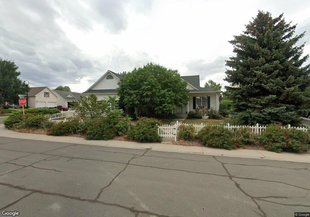
2101 Patriot Ct Montrose, CO 81401
Estimated Value: $471,764 - $522,000
3
Beds
2
Baths
1,764
Sq Ft
$279/Sq Ft
Est. Value
About This Home
This home is located at 2101 Patriot Ct, Montrose, CO 81401 and is currently estimated at $492,691, approximately $279 per square foot. 2101 Patriot Ct is a home located in Montrose County with nearby schools including Johnson Elementary School, Centennial Middle School, and Montrose High School.
Ownership History
Date
Name
Owned For
Owner Type
Purchase Details
Closed on
Feb 12, 2018
Sold by
Holt Cathne J
Bought by
Holt Cathne J and Cathne Holt Trust
Current Estimated Value
Purchase Details
Closed on
Aug 14, 2017
Sold by
Landback Cayia Q
Bought by
Holt Cathme J
Purchase Details
Closed on
Jul 6, 2005
Sold by
Wilson Darrell B and Wilson Louella L
Bought by
Landback Cayla Q
Home Financials for this Owner
Home Financials are based on the most recent Mortgage that was taken out on this home.
Original Mortgage
$177,262
Interest Rate
5.63%
Mortgage Type
Purchase Money Mortgage
Purchase Details
Closed on
Nov 15, 2002
Sold by
Colorado Dolphin Companies Inc
Bought by
Wilson Darrell B and Wilson Louella L
Create a Home Valuation Report for This Property
The Home Valuation Report is an in-depth analysis detailing your home's value as well as a comparison with similar homes in the area
Home Values in the Area
Average Home Value in this Area
Purchase History
| Date | Buyer | Sale Price | Title Company |
|---|---|---|---|
| Holt Cathne J | -- | None Available | |
| Holt Cathme J | $245,500 | Fidelity National Title | |
| Landback Cayla Q | $218,000 | None Available | |
| Wilson Darrell B | $194,500 | -- |
Source: Public Records
Mortgage History
| Date | Status | Borrower | Loan Amount |
|---|---|---|---|
| Previous Owner | Landback Cayla Q | $177,262 |
Source: Public Records
Tax History Compared to Growth
Tax History
| Year | Tax Paid | Tax Assessment Tax Assessment Total Assessment is a certain percentage of the fair market value that is determined by local assessors to be the total taxable value of land and additions on the property. | Land | Improvement |
|---|---|---|---|---|
| 2024 | $1,899 | $26,340 | $4,110 | $22,230 |
| 2023 | $1,899 | $31,160 | $4,870 | $26,290 |
| 2022 | $1,556 | $22,300 | $3,130 | $19,170 |
| 2021 | $1,603 | $22,940 | $3,220 | $19,720 |
| 2020 | $1,386 | $20,380 | $2,870 | $17,510 |
| 2019 | $1,395 | $20,380 | $2,870 | $17,510 |
| 2018 | $1,172 | $16,690 | $1,990 | $14,700 |
| 2017 | $661 | $16,690 | $1,990 | $14,700 |
| 2016 | $598 | $16,680 | $2,010 | $14,670 |
| 2015 | $1,123 | $16,680 | $2,010 | $14,670 |
| 2014 | $924 | $14,670 | $2,010 | $12,660 |
Source: Public Records
Map
Nearby Homes
- 2224 American Way
- 2132 Patriot Ct
- 2308 Mead Ln
- 1833 Estates Dr Unit A
- 3161 Silver Fox Dr
- TBD Freedom Way
- 1764 Freedom Way
- 1708 American Way
- 3004 Silver Fox Dr
- 3208 Wheat Grass Dr
- 2231 Hill St
- 3308 Congress St
- 1818 Senate St
- 1624 Election Way
- 2001 Constitution Loop
- 3208 Ravens Crest Dr
- 1530 American Way
- 1987 Sara E Ln
- 1997 Sara E Ln
- 3415 Kestrel Loop
- 2238 Mead Ln
- 2121 Patriot Ct
- MANC0S Mead Ln
- 0 Mead Ln Unit 596718
- 0 Mead Ln Unit 600728
- 0 Mead Ln Unit 621336
- 0 Mead Ln Unit 606711
- 0 Mead Ln Unit 610723
- 0 Mead Ln Unit 614392
- 0 Mead Ln Unit 622436
- 0 Mead Ln Unit 631643
- 0 Mead Ln Unit 632510
- 0 Mead Ln Unit 633150
- 0 Mead Ln Unit B 636947
- 0 Mead Ln Unit C 639882
- 0 Mead Ln Unit B 639881
- 0 Mead Ln Unit A 639880
- 0 Mead Ln Unit 642077
- 0 Mead Ln Unit A 647853
- 0 Mead Ln Unit B 650939