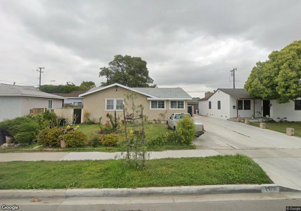
21018 Royal Blvd Torrance, CA 90502
West Carson NeighborhoodEstimated Value: $841,682 - $933,000
3
Beds
2
Baths
1,526
Sq Ft
$582/Sq Ft
Est. Value
About This Home
This home is located at 21018 Royal Blvd, Torrance, CA 90502 and is currently estimated at $887,421, approximately $581 per square foot. 21018 Royal Blvd is a home located in Los Angeles County with nearby schools including Van Deene Avenue Elementary School, Stephen M. White Middle School, and Nathaniel Narbonne Senior High School.
Ownership History
Date
Name
Owned For
Owner Type
Purchase Details
Closed on
Aug 22, 2015
Sold by
Delmundo Orlando
Bought by
Delmundo Orlando S and Orlando S Del Mundo Living Trust
Current Estimated Value
Purchase Details
Closed on
Aug 12, 1993
Sold by
Fernandez Steven A and Fernandez Robin A
Bought by
Delmundo Orlando
Home Financials for this Owner
Home Financials are based on the most recent Mortgage that was taken out on this home.
Original Mortgage
$167,400
Interest Rate
3.75%
Create a Home Valuation Report for This Property
The Home Valuation Report is an in-depth analysis detailing your home's value as well as a comparison with similar homes in the area
Home Values in the Area
Average Home Value in this Area
Purchase History
| Date | Buyer | Sale Price | Title Company |
|---|---|---|---|
| Delmundo Orlando S | -- | None Available | |
| Delmundo Orlando | $180,000 | Old Republic Title Company |
Source: Public Records
Mortgage History
| Date | Status | Borrower | Loan Amount |
|---|---|---|---|
| Closed | Delmundo Orlando | $167,400 |
Source: Public Records
Tax History Compared to Growth
Tax History
| Year | Tax Paid | Tax Assessment Tax Assessment Total Assessment is a certain percentage of the fair market value that is determined by local assessors to be the total taxable value of land and additions on the property. | Land | Improvement |
|---|---|---|---|---|
| 2025 | $4,127 | $305,913 | $236,752 | $69,161 |
| 2024 | $4,127 | $299,915 | $232,110 | $67,805 |
| 2023 | $4,055 | $294,035 | $227,559 | $66,476 |
| 2022 | $3,865 | $288,271 | $223,098 | $65,173 |
| 2021 | $3,821 | $282,620 | $218,724 | $63,896 |
| 2020 | $3,846 | $279,723 | $216,482 | $63,241 |
| 2019 | $3,701 | $274,239 | $212,238 | $62,001 |
| 2018 | $3,573 | $268,863 | $208,077 | $60,786 |
| 2016 | $3,401 | $258,426 | $199,999 | $58,427 |
| 2015 | $3,340 | $254,545 | $196,995 | $57,550 |
| 2014 | $3,336 | $249,560 | $193,137 | $56,423 |
Source: Public Records
Map
Nearby Homes
- 1107 W 210th St
- 21141 Berendo Ave
- 20710 Raymond Ave
- 21125 Normandie Ave
- 20616 Budlong Ave
- 20612 Kenwood Ave
- 22325 Sage Ct
- 22302 Sage Ct
- 22303 Sage Ct
- 1291 Bonnet Way
- 20813 Normandie Ave
- 20553 S Vermont Ave Unit 1
- 20553 S Vermont Ave Unit 6
- 20545 S Vermont Ave Unit 2
- 1145 Milton St
- 20518 Raymond Ave
- 20907 Halldale Ave
- 941 W Carson St Unit 106
- 1106 W 204th St
- 20414 Kenwood Ave
- 21024 Royal Blvd
- 21012 Royal Blvd
- 21103 Berendo Ave
- 21028 Royal Blvd
- 21109 Berendo Ave
- 1064 W 210th St
- 21115 Berendo Ave
- 1054 W 210th St
- 21102 Royal Blvd
- 21019 Royal Blvd
- 21025 Royal Blvd
- 21013 Royal Blvd
- 1048 W 210th St
- 21102 Berendo Ave
- 21119 Berendo Ave
- 21029 Royal Blvd
- 1102 W 210th St
- 21106 Royal Blvd
- 1042 W 210th St
- 21103 Royal Blvd