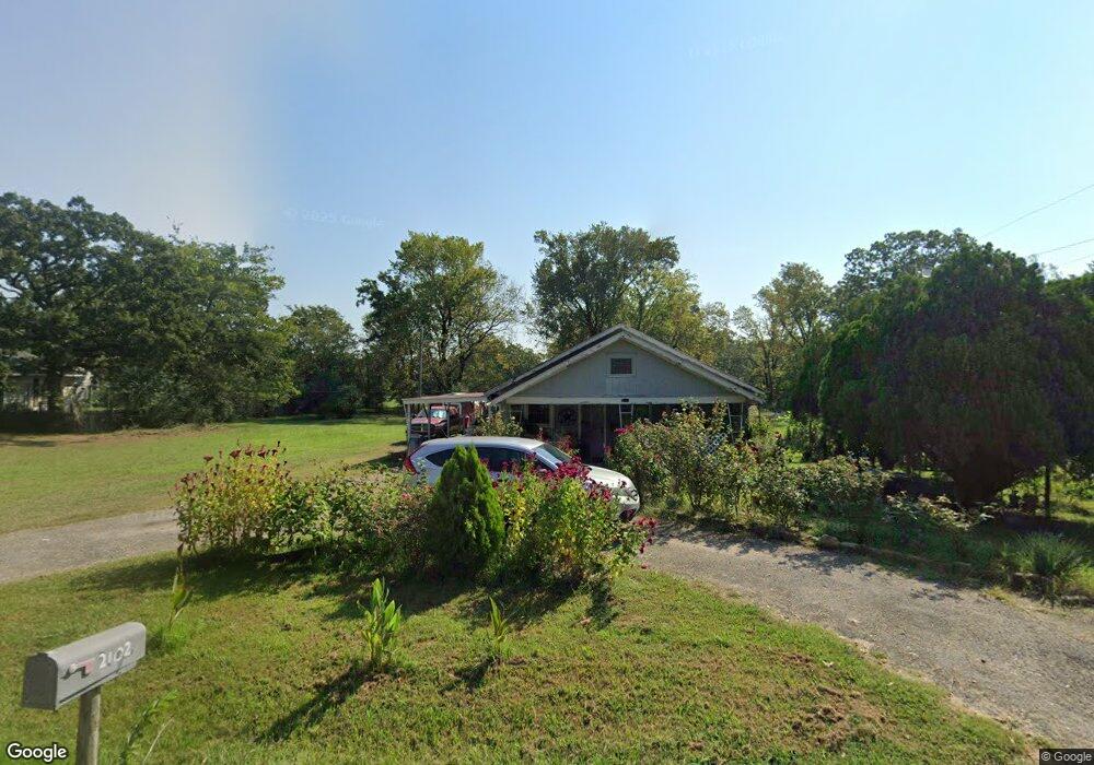
2102 Central St Poteau, OK 74953
Estimated Value: $53,000 - $168,000
3
Beds
1
Bath
1,176
Sq Ft
$92/Sq Ft
Est. Value
About This Home
This home is located at 2102 Central St, Poteau, OK 74953 and is currently estimated at $107,856, approximately $91 per square foot. 2102 Central St is a home located in Le Flore County with nearby schools including Poteau Primary Elementary School, Poteau Upper Elementary School, and Pansy Kidd Middle School.
Ownership History
Date
Name
Owned For
Owner Type
Purchase Details
Closed on
Jul 1, 2021
Sold by
Cortez Annetta
Bought by
James Carl Ford Living Trust
Current Estimated Value
Purchase Details
Closed on
Jun 23, 2021
Sold by
Arleans Danny and Conter Annetta
Bought by
Conter Annetta
Purchase Details
Closed on
Nov 16, 2012
Sold by
Cortez Gunnetta
Bought by
Conrtez Annette and Andrews Danny
Purchase Details
Closed on
Nov 28, 2011
Sold by
Cortg Annetta
Bought by
Cortg Annetta and Andrews Danny K
Create a Home Valuation Report for This Property
The Home Valuation Report is an in-depth analysis detailing your home's value as well as a comparison with similar homes in the area
Home Values in the Area
Average Home Value in this Area
Purchase History
| Date | Buyer | Sale Price | Title Company |
|---|---|---|---|
| James Carl Ford Living Trust | $27,500 | None Available | |
| Conter Annetta | -- | None Available | |
| Conrtez Annette | -- | None Available | |
| Cortg Annetta | -- | None Available |
Source: Public Records
Tax History Compared to Growth
Tax History
| Year | Tax Paid | Tax Assessment Tax Assessment Total Assessment is a certain percentage of the fair market value that is determined by local assessors to be the total taxable value of land and additions on the property. | Land | Improvement |
|---|---|---|---|---|
| 2025 | $270 | $3,176 | $568 | $2,608 |
| 2023 | $270 | $3,025 | $541 | $2,484 |
| 2022 | $271 | $3,025 | $541 | $2,484 |
| 2021 | $324 | $3,624 | $660 | $2,964 |
| 2020 | $309 | $3,451 | $660 | $2,791 |
| 2019 | $295 | $3,287 | $660 | $2,627 |
| 2018 | $267 | $3,130 | $660 | $2,470 |
| 2017 | $256 | $2,982 | $660 | $2,322 |
| 2016 | $241 | $2,839 | $660 | $2,179 |
| 2015 | $234 | $2,704 | $660 | $2,044 |
| 2014 | $225 | $2,575 | $660 | $1,915 |
Source: Public Records
Map
Nearby Homes
- TBD Tract #1 Coggins Ave
- TBD Tract #2 Coggins Ave
- 000 Coggins Ave
- 104 Clark Ave
- 307 Mission Dr
- TBD Mission Dr
- 207 Thompson Ave
- 516 Beeler St
- 2104 N Broadway St Unit b
- 110 Witteville Rd
- 204 Bowlin Dr
- 105 Witteville Rd
- 301 Turman St
- 205 Bowlin Dr
- 401 Crest Ct
- 111 Witteville Rd
- 104 Craigway St
- 102 Dogwood Ave
- 2200 Redwood Ln
- 120 Redbud Ln
- 2104 Central St
- 2103 Central St
- 2106 Central St
- 2013 Central St
- TBD Coggins Ave
- 0 Coggins Ave
- 2011 Central St
- 0 Central St
- 100 Willowbrook Way
- 2009 Central St
- 102 Willowbrook Way
- 404 Coggins Ave
- 2007 Central St
- 106 Oakwood Dr
- 102 Oakwood Dr
- 102 Oakwood Dr
- 400 Coggins Ave
- 104 Oakwood Dr
- 2003 Central St
- 108 Oakwood Dr