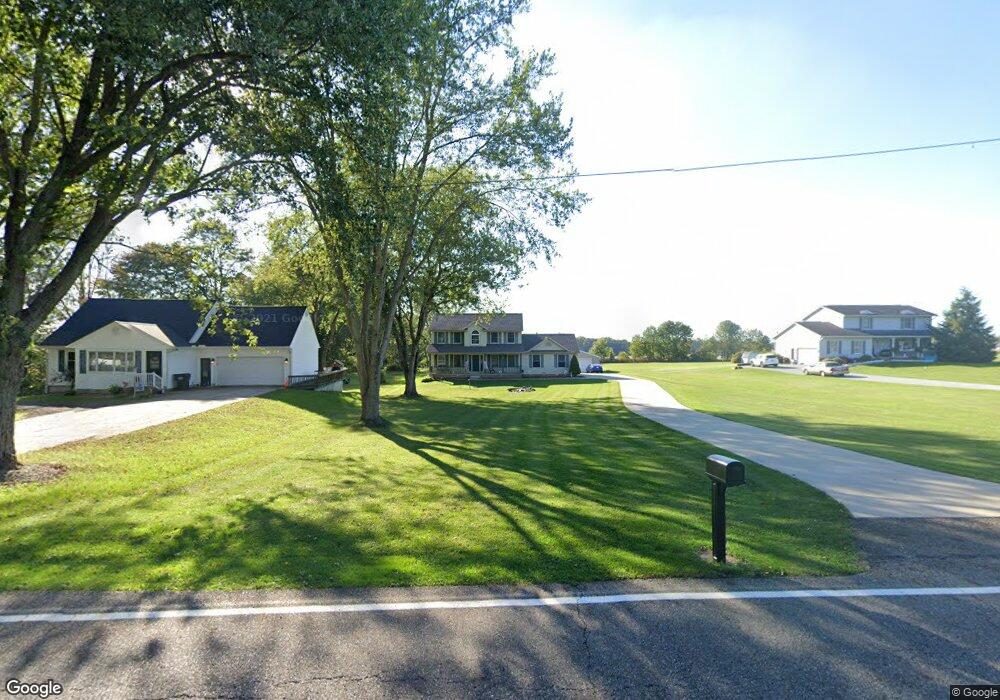
2103 S Chapel St Louisville, OH 44641
Estimated Value: $321,000 - $345,000
3
Beds
3
Baths
2,068
Sq Ft
$162/Sq Ft
Est. Value
About This Home
This home is located at 2103 S Chapel St, Louisville, OH 44641 and is currently estimated at $334,698, approximately $161 per square foot. 2103 S Chapel St is a home located in Stark County with nearby schools including Louisville High School and St. Thomas Aquinas High School & Middle School.
Ownership History
Date
Name
Owned For
Owner Type
Purchase Details
Closed on
Jun 24, 1996
Sold by
Welsh Paul H
Bought by
Knisely John H and Knisely Stacy
Current Estimated Value
Home Financials for this Owner
Home Financials are based on the most recent Mortgage that was taken out on this home.
Original Mortgage
$13,850
Interest Rate
7.88%
Mortgage Type
New Conventional
Create a Home Valuation Report for This Property
The Home Valuation Report is an in-depth analysis detailing your home's value as well as a comparison with similar homes in the area
Home Values in the Area
Average Home Value in this Area
Purchase History
| Date | Buyer | Sale Price | Title Company |
|---|---|---|---|
| Knisely John H | $18,500 | -- |
Source: Public Records
Mortgage History
| Date | Status | Borrower | Loan Amount |
|---|---|---|---|
| Closed | Knisely John H | $13,850 |
Source: Public Records
Tax History Compared to Growth
Tax History
| Year | Tax Paid | Tax Assessment Tax Assessment Total Assessment is a certain percentage of the fair market value that is determined by local assessors to be the total taxable value of land and additions on the property. | Land | Improvement |
|---|---|---|---|---|
| 2025 | -- | $115,960 | $19,430 | $96,530 |
| 2024 | -- | $115,960 | $19,430 | $96,530 |
| 2023 | $3,315 | $75,330 | $14,880 | $60,450 |
| 2022 | $3,321 | $75,330 | $14,880 | $60,450 |
| 2021 | $3,330 | $75,330 | $14,880 | $60,450 |
| 2020 | $2,822 | $69,100 | $13,410 | $55,690 |
| 2019 | $2,836 | $67,250 | $16,770 | $50,480 |
| 2018 | $2,750 | $67,250 | $16,770 | $50,480 |
| 2017 | $2,307 | $54,430 | $10,780 | $43,650 |
| 2016 | $2,355 | $54,430 | $10,780 | $43,650 |
| 2015 | $2,362 | $54,430 | $10,780 | $43,650 |
| 2014 | $698 | $57,830 | $11,450 | $46,380 |
| 2013 | $1,353 | $57,830 | $11,450 | $46,380 |
Source: Public Records
Map
Nearby Homes
- 1702 View Pointe Ave
- 1639 Horizon Dr
- 908 Sand Lot Cir
- 6969 Georgetown St NE
- 8225 Georgetown St
- 2425 Miday Ave NE
- 510 S Bauman Ct
- 204 E Broad St
- 107 E Broad St
- 728 E Broad St
- 520 S Silver St
- 641 S Nickelplate St
- 308 Superior St
- 6416 15th St NE
- 1715 High St
- 3390 Meese Rd NE
- 201 Indiana Ave
- 2110 Edmar St
- 4060 Hambleton Ave NE
- 325 Lincoln Ave
- 2033 S Chapel St
- 2109 S Chapel St
- 104 Rodeo Cir
- 105 Rodeo Cir
- 114 Rodeo Cir
- 3255 Miday Ave
- 104 Buffalo Ridge St
- 115 Rodeo Cir
- 2007 S Chapel St
- 114 Buffalo Ridge St
- 204 Rodeo Cir
- 3199 Miday Ave
- 3199 Miday Ave NE
- 205 Rodeo Cir
- 204 Buffalo Ridge St
- 105 Buffalo Ridge St
- 214 Rodeo Cir
- 215 Rodeo Cir
- 115 Buffalo Ridge St
- 3250 Miday Ave