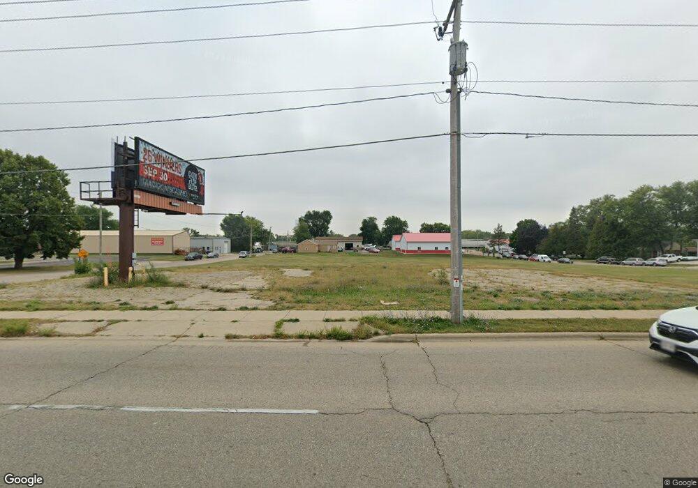
2105 W Court St Janesville, WI 53548
Estimated Value: $57,000 - $227,000
--
Bed
--
Bath
--
Sq Ft
1.91
Acres
About This Home
This home is located at 2105 W Court St, Janesville, WI 53548 and is currently estimated at $142,000. 2105 W Court St is a home located in Rock County with nearby schools including Madison Elementary School, Franklin Middle School, and Parker High School.
Ownership History
Date
Name
Owned For
Owner Type
Purchase Details
Closed on
Jun 21, 2024
Sold by
2105 W Court Street Llc
Bought by
Court St Developers Llc
Current Estimated Value
Home Financials for this Owner
Home Financials are based on the most recent Mortgage that was taken out on this home.
Original Mortgage
$1,220,000
Outstanding Balance
$1,204,639
Interest Rate
7.09%
Mortgage Type
Construction
Estimated Equity
-$1,062,639
Purchase Details
Closed on
Feb 14, 2011
Sold by
Tronox Worldwide Llc
Bought by
Greenfield Environmental Multistate Trus and Multistate Environmental Response Trust
Create a Home Valuation Report for This Property
The Home Valuation Report is an in-depth analysis detailing your home's value as well as a comparison with similar homes in the area
Home Values in the Area
Average Home Value in this Area
Purchase History
| Date | Buyer | Sale Price | Title Company |
|---|---|---|---|
| Court St Developers Llc | $266,500 | None Listed On Document | |
| Greenfield Environmental Multistate Trus | -- | Chicago Title |
Source: Public Records
Mortgage History
| Date | Status | Borrower | Loan Amount |
|---|---|---|---|
| Open | Court St Developers Llc | $1,220,000 |
Source: Public Records
Tax History Compared to Growth
Tax History
| Year | Tax Paid | Tax Assessment Tax Assessment Total Assessment is a certain percentage of the fair market value that is determined by local assessors to be the total taxable value of land and additions on the property. | Land | Improvement |
|---|---|---|---|---|
| 2024 | $563 | $32,600 | $32,600 | $0 |
| 2023 | $565 | $32,600 | $32,600 | $0 |
| 2022 | $784 | $32,600 | $32,600 | $0 |
| 2021 | $791 | $32,600 | $32,600 | $0 |
| 2020 | $755 | $32,600 | $32,600 | $0 |
| 2019 | $738 | $32,600 | $32,600 | $0 |
| 2018 | $872 | $32,600 | $32,600 | $0 |
| 2017 | $845 | $32,600 | $32,600 | $0 |
| 2016 | $834 | $32,600 | $32,600 | $0 |
Source: Public Records
Map
Nearby Homes
- 1826 Bond Place
- 1521 Ravine St
- 2821 W Court St
- 702 S Willard Ave
- 18 S Pearl St
- 1803 Rockport Rd
- 214 N Chatham St
- 2823 Mackintosh Dr
- 217 N Pearl St
- 439 N Chatham St
- 1515 Mineral Point Ave
- 2219 Elizabeth St
- 612 S Chatham St
- 2334 Elizabeth St
- 1321 Mineral Point Ave
- 481 N Pearl St
- 460 N Pearl St
- 455 N Terrace St Unit 100
- 455 N Terrace St
- 2504 Dartmouth Dr
- 15 Lots Orchard W
- Lot 12 N Grand Videre Rd
- 2203 W Court St
- 2011 W Court St
- 14 S Grant Ave
- 2209 W Court St
- 100 S Orchard St
- 26 S Arch St
- 2025 W Wall St
- 26 S Grant Ave
- 2213 W Court St
- 2200 W Court St
- 17 S Willard Ave
- 102 S Grant Ave
- 25 S Willard Ave
- 110 S Orchard St
- 31 S Willard Ave
- 108 S Arch St
- 19 N Arch St
- 103 S Willard Ave