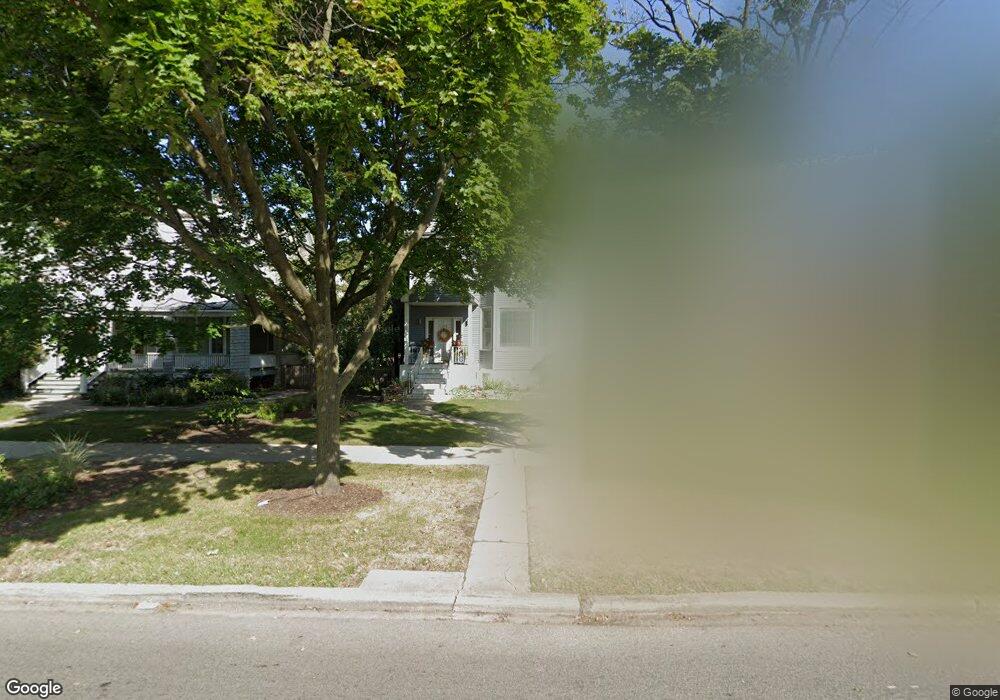
2106 W Lunt Ave Chicago, IL 60645
West Ridge NeighborhoodEstimated Value: $834,000 - $1,090,000
4
Beds
4
Baths
3,976
Sq Ft
$242/Sq Ft
Est. Value
About This Home
This home is located at 2106 W Lunt Ave, Chicago, IL 60645 and is currently estimated at $960,272, approximately $241 per square foot. 2106 W Lunt Ave is a home located in Cook County with nearby schools including George Armstrong Elementary School, Sullivan High School, and Acero - Sor Juana Ines de la Cruz School.
Ownership History
Date
Name
Owned For
Owner Type
Purchase Details
Closed on
Apr 7, 2003
Sold by
Jackson Kelvin M and Materre Micah
Bought by
Materre Micah
Current Estimated Value
Purchase Details
Closed on
Jan 29, 1998
Sold by
Goldberg Kenneth L and Goldberg Catherine
Bought by
Jackson Kelvin M and Materre Micah L
Home Financials for this Owner
Home Financials are based on the most recent Mortgage that was taken out on this home.
Original Mortgage
$337,500
Outstanding Balance
$81,468
Interest Rate
10.99%
Estimated Equity
$878,804
Create a Home Valuation Report for This Property
The Home Valuation Report is an in-depth analysis detailing your home's value as well as a comparison with similar homes in the area
Home Values in the Area
Average Home Value in this Area
Purchase History
| Date | Buyer | Sale Price | Title Company |
|---|---|---|---|
| Materre Micah | -- | -- | |
| Materre Micah | -- | -- | |
| Jackson Kelvin M | $375,000 | -- |
Source: Public Records
Mortgage History
| Date | Status | Borrower | Loan Amount |
|---|---|---|---|
| Open | Jackson Kelvin M | $337,500 |
Source: Public Records
Tax History Compared to Growth
Tax History
| Year | Tax Paid | Tax Assessment Tax Assessment Total Assessment is a certain percentage of the fair market value that is determined by local assessors to be the total taxable value of land and additions on the property. | Land | Improvement |
|---|---|---|---|---|
| 2024 | $10,900 | $78,937 | $15,480 | $63,457 |
| 2023 | $10,587 | $57,632 | $12,384 | $45,248 |
| 2022 | $10,587 | $57,632 | $12,384 | $45,248 |
| 2021 | $10,919 | $57,631 | $12,384 | $45,247 |
| 2020 | $11,270 | $53,693 | $11,696 | $41,997 |
| 2019 | $11,271 | $59,527 | $11,696 | $47,831 |
| 2018 | $13,110 | $69,803 | $11,696 | $58,107 |
| 2017 | $11,339 | $56,051 | $10,320 | $45,731 |
| 2016 | $10,726 | $56,051 | $10,320 | $45,731 |
| 2015 | $9,790 | $56,051 | $10,320 | $45,731 |
| 2014 | $8,627 | $49,065 | $9,632 | $39,433 |
| 2013 | $8,445 | $49,065 | $9,632 | $39,433 |
Source: Public Records
Map
Nearby Homes
- 2101 W Greenleaf Ave
- 7070 N Ridge Blvd Unit 1A
- 2036 W Morse Ave Unit D
- 7074 N Ridge Blvd Unit 1E
- 7019 N Ridge Blvd Unit 3B
- 7019 N Ridge Blvd Unit 3A
- 6961 N Oakley Ave Unit 210
- 2130 W Farwell Ave
- 6959 N Ridge Blvd Unit 1C
- 2175 W Touhy Ave
- 2065 W Farwell Ave Unit 20653N
- 1958 W Morse Ave Unit B
- 2245 W Farwell Ave Unit 3B
- 2217 W Farwell Ave Unit 2B
- 2335 W Greenleaf Ave Unit 310
- 7129 N Oakley Ave
- 7102 N Damen Ave Unit 3
- 2241 W Farwell Ave Unit 2D
- 2300 W Farwell Ave Unit 2
- 2224 W Touhy Ave Unit 3N
- 2104 W Lunt Ave
- 2112 W Lunt Ave
- 2100 W Lunt Ave
- 2116 W Lunt Ave
- 2120 W Lunt Ave
- 2094 W Lunt Ave
- 2092 W Lunt Ave
- 2096 W Lunt Ave
- 2124 W Lunt Ave
- 2107 W Greenleaf Ave
- 2115 W Greenleaf Ave
- 2111 W Lunt Ave
- 2111 W Lunt Ave
- 2101 W Lunt Ave
- 2088 W Lunt Ave
- 2147 W Lunt Ave Unit GDN
- 2119 W Greenleaf Ave
- 2113 W Lunt Ave
- 2113 W Lunt Ave Unit 1
- 2123 W Greenleaf Ave