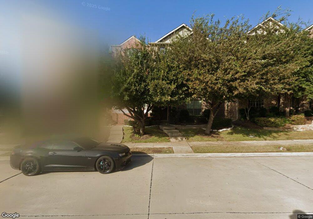
2109 Mcparland Ct Carrollton, TX 75006
Central Carrollton NeighborhoodEstimated Value: $359,804 - $414,000
2
Beds
3
Baths
1,996
Sq Ft
$196/Sq Ft
Est. Value
About This Home
This home is located at 2109 Mcparland Ct, Carrollton, TX 75006 and is currently estimated at $391,701, approximately $196 per square foot. 2109 Mcparland Ct is a home located in Dallas County with nearby schools including Mccoy Elementary School, Perry Middle School, and Smith High School.
Ownership History
Date
Name
Owned For
Owner Type
Purchase Details
Closed on
Jul 24, 2014
Sold by
Brown Charles H
Bought by
Burns Jeffrey S and Petit Burns Angela R
Current Estimated Value
Home Financials for this Owner
Home Financials are based on the most recent Mortgage that was taken out on this home.
Original Mortgage
$201,600
Outstanding Balance
$153,961
Interest Rate
4.23%
Mortgage Type
New Conventional
Estimated Equity
$237,740
Purchase Details
Closed on
Jul 22, 2010
Sold by
Rh Of Texas Limited Partnership
Bought by
Brown Charles H
Home Financials for this Owner
Home Financials are based on the most recent Mortgage that was taken out on this home.
Original Mortgage
$161,326
Interest Rate
4.5%
Mortgage Type
FHA
Create a Home Valuation Report for This Property
The Home Valuation Report is an in-depth analysis detailing your home's value as well as a comparison with similar homes in the area
Home Values in the Area
Average Home Value in this Area
Purchase History
| Date | Buyer | Sale Price | Title Company |
|---|---|---|---|
| Burns Jeffrey S | -- | Rtt | |
| Brown Charles H | -- | Rtc |
Source: Public Records
Mortgage History
| Date | Status | Borrower | Loan Amount |
|---|---|---|---|
| Open | Burns Jeffrey S | $201,600 | |
| Previous Owner | Brown Charles H | $161,326 |
Source: Public Records
Tax History Compared to Growth
Tax History
| Year | Tax Paid | Tax Assessment Tax Assessment Total Assessment is a certain percentage of the fair market value that is determined by local assessors to be the total taxable value of land and additions on the property. | Land | Improvement |
|---|---|---|---|---|
| 2025 | $5,962 | $386,000 | $65,000 | $321,000 |
| 2024 | $5,962 | $382,830 | $55,000 | $327,830 |
| 2023 | $5,962 | $382,830 | $55,000 | $327,830 |
| 2022 | $7,163 | $314,830 | $45,000 | $269,830 |
| 2021 | $6,803 | $283,430 | $45,000 | $238,430 |
| 2020 | $7,035 | $283,430 | $45,000 | $238,430 |
| 2019 | $7,430 | $283,430 | $45,000 | $238,430 |
| 2018 | $7,475 | $283,430 | $45,000 | $238,430 |
| 2017 | $6,929 | $261,480 | $45,000 | $216,480 |
| 2016 | $6,295 | $237,520 | $45,000 | $192,520 |
| 2015 | $4,845 | $209,580 | $45,000 | $164,580 |
| 2014 | $4,845 | $187,620 | $40,000 | $147,620 |
Source: Public Records
Map
Nearby Homes
- 2125 Mcparland Ct
- 1805 English Ln
- 2153 Parkview
- 2211 Salem Dr
- 2212 Salem Dr
- 2222 Salem Dr
- 2222 Jackson Cir
- 2027 Embassy Way
- 2031 Embassy Way
- 1907 Sunridge Rd
- 2049 Embassy Way
- 2310 Greenmeadow Dr
- 2320 Carol Good Ln
- 2301 Greenwood Cir
- 1408 Yellowstone Ln
- 1206 Osceola Trail
- 1205 Osceola Trail
- 2000 San Michael Dr
- 2111 Menton Place
- 2163 Villa Place Unit A
- 2107 Mcparland Ct
- 2113 Mcparland Ct
- 2105 Mcparland Ct
- 2115 Mcparland Ct
- 2117 Mcparland Ct
- 2119 Mcparland Ct
- 1816 English Ln
- 2112 Mcparland Ct
- 2114 Mcparland Ct
- 1814 English Ln
- 2116 Mcparland Ct
- 2120 Mcparland Ct
- 1812 English Ln
- 2122 Mcparland Ct
- 1810 English Ln
- 2124 Mcparland Ct
- 2127 Mcparland Ct
- 2126 Mcparland Ct
- 2129 Mcparland Ct
- 1806 English Ln