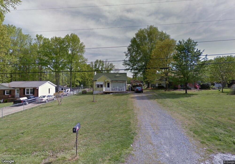
211 Broad St Reidsville, NC 27320
Estimated Value: $94,000 - $167,000
--
Bed
--
Bath
996
Sq Ft
$129/Sq Ft
Est. Value
About This Home
This home is located at 211 Broad St, Reidsville, NC 27320 and is currently estimated at $128,385, approximately $128 per square foot. 211 Broad St is a home located in Rockingham County with nearby schools including Reidsville High School, South End Elementary School, and Reidsville Middle School.
Ownership History
Date
Name
Owned For
Owner Type
Purchase Details
Closed on
Aug 27, 2024
Sold by
Barringer Fred and Barringer Ronald Stephen
Bought by
Mhd Investments Llc
Current Estimated Value
Purchase Details
Closed on
Feb 22, 2005
Sold by
Beneficial Mortgage Co
Bought by
Barringer Ronald Steven and Barringer Amy Sue Terry
Home Financials for this Owner
Home Financials are based on the most recent Mortgage that was taken out on this home.
Original Mortgage
$30,600
Interest Rate
5.68%
Mortgage Type
Credit Line Revolving
Create a Home Valuation Report for This Property
The Home Valuation Report is an in-depth analysis detailing your home's value as well as a comparison with similar homes in the area
Home Values in the Area
Average Home Value in this Area
Purchase History
| Date | Buyer | Sale Price | Title Company |
|---|---|---|---|
| Mhd Investments Llc | $102,000 | None Listed On Document | |
| Barringer Ronald Steven | $34,000 | None Available |
Source: Public Records
Mortgage History
| Date | Status | Borrower | Loan Amount |
|---|---|---|---|
| Previous Owner | Barringer Ronald Steven | $30,600 |
Source: Public Records
Tax History Compared to Growth
Tax History
| Year | Tax Paid | Tax Assessment Tax Assessment Total Assessment is a certain percentage of the fair market value that is determined by local assessors to be the total taxable value of land and additions on the property. | Land | Improvement |
|---|---|---|---|---|
| 2025 | $1,295 | $104,434 | $6,048 | $98,386 |
| 2024 | $21 | $104,434 | $6,048 | $98,386 |
| 2023 | $711 | $49,598 | $5,460 | $44,138 |
| 2022 | $760 | $49,598 | $5,460 | $44,138 |
| 2021 | $711 | $49,598 | $5,460 | $44,138 |
| 2020 | $711 | $49,598 | $5,460 | $44,138 |
| 2019 | $711 | $49,598 | $5,460 | $44,138 |
| 2018 | $707 | $49,209 | $9,720 | $39,489 |
| 2017 | $707 | $49,209 | $9,720 | $39,489 |
| 2015 | $714 | $49,209 | $9,720 | $39,489 |
| 2014 | $707 | $49,209 | $9,720 | $39,489 |
Source: Public Records
Map
Nearby Homes
- 2125 Olive Dr
- 305 Broad St
- 2138 S Scales St
- 304 Cypress Dr
- 2329 Westover Dr
- 2309 Lemar Dr
- 514 Watlington Dr
- 0 Amos St
- 1729 S Scales St
- 00 Lot 4 S Park Dr
- 00 Lot 3 S Park Dr
- 1820 S Park Dr
- 000 Lot 2 Cypress Dr
- 612 Parkway Blvd
- 1910 Glenn Dr
- 1006 Oakcrest Dr
- 1027 Cypress Dr
- 1410 Pennrose Dr
- 1320 S Park Dr
- 1020 Larkwood Ct