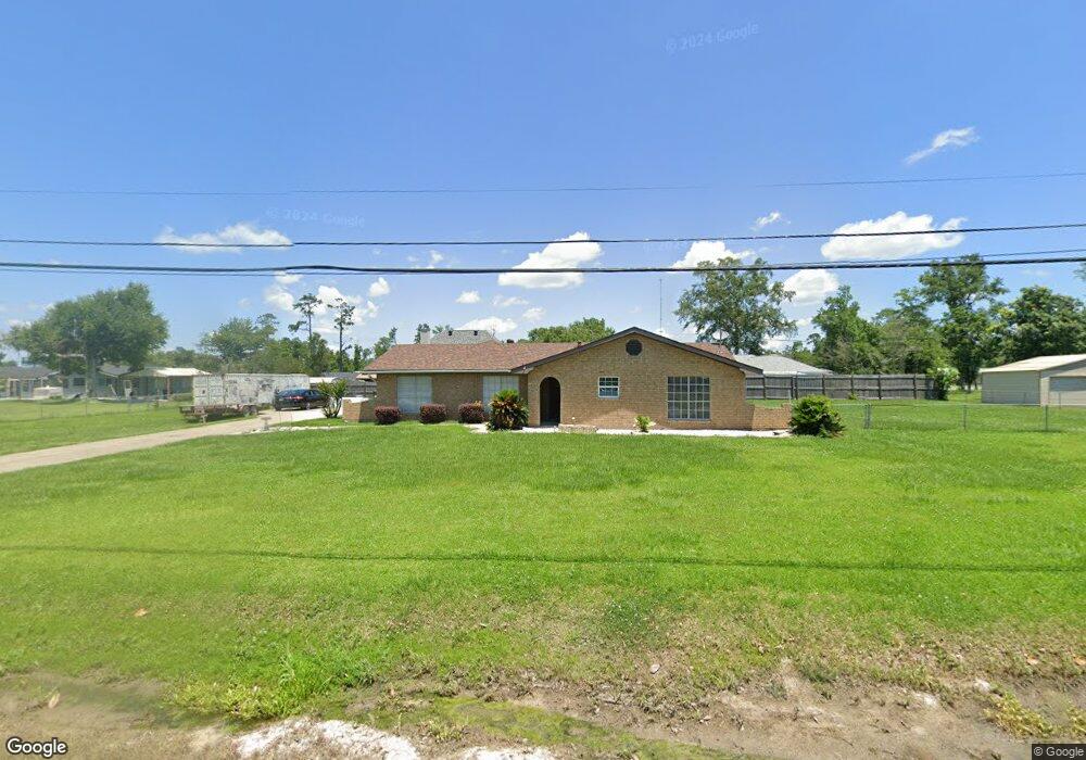
211 E Dick Hayes Rd Westlake, LA 70669
Estimated Value: $112,000 - $236,000
3
Beds
2
Baths
2,145
Sq Ft
$85/Sq Ft
Est. Value
About This Home
This home is located at 211 E Dick Hayes Rd, Westlake, LA 70669 and is currently estimated at $183,176, approximately $85 per square foot. 211 E Dick Hayes Rd is a home located in Calcasieu Parish with nearby schools including Westwood Elementary School, Western Heights Elementary School, and S.P. Arnett Middle School.
Ownership History
Date
Name
Owned For
Owner Type
Purchase Details
Closed on
Jan 17, 2014
Sold by
Abbott Troy Ernest
Bought by
Butterfield Ronald Jay
Current Estimated Value
Home Financials for this Owner
Home Financials are based on the most recent Mortgage that was taken out on this home.
Original Mortgage
$116,844
Interest Rate
4.48%
Mortgage Type
FHA
Create a Home Valuation Report for This Property
The Home Valuation Report is an in-depth analysis detailing your home's value as well as a comparison with similar homes in the area
Home Values in the Area
Average Home Value in this Area
Purchase History
| Date | Buyer | Sale Price | Title Company |
|---|---|---|---|
| Butterfield Ronald Jay | $119,000 | Elite Title Insurance Agency |
Source: Public Records
Mortgage History
| Date | Status | Borrower | Loan Amount |
|---|---|---|---|
| Open | Butterfield Ronald Jay | $142,450 | |
| Closed | Butterfield Ronald Jay | $116,844 |
Source: Public Records
Tax History Compared to Growth
Tax History
| Year | Tax Paid | Tax Assessment Tax Assessment Total Assessment is a certain percentage of the fair market value that is determined by local assessors to be the total taxable value of land and additions on the property. | Land | Improvement |
|---|---|---|---|---|
| 2024 | $238 | $9,720 | $1,240 | $8,480 |
| 2023 | $238 | $9,720 | $1,240 | $8,480 |
| 2022 | $244 | $9,720 | $1,240 | $8,480 |
| 2021 | $238 | $9,720 | $1,240 | $8,480 |
| 2020 | $963 | $8,820 | $1,190 | $7,630 |
| 2019 | $1,089 | $9,630 | $1,150 | $8,480 |
| 2018 | $223 | $9,630 | $1,150 | $8,480 |
| 2017 | $1,038 | $9,630 | $1,150 | $8,480 |
| 2016 | $1,030 | $9,630 | $1,150 | $8,480 |
| 2015 | $1,053 | $9,630 | $1,150 | $8,480 |
Source: Public Records
Map
Nearby Homes
- 0 W Wayside Dr Unit SWL25001592
- 109 W Wayside Dr
- 2525 Davis Rd
- 590 Landry Rd
- 0 Fletcher Rd
- 2518 Donnelly Rd
- 2725 Smith Ferry Rd
- 0 Davis Rd
- 2502 & 2504 German Rd
- 2526 Cox Rd
- 570 Ann Terrace Ave
- 369 Ann Terrace Ave
- 0 Charlotte Ave Unit SWL25001918
- 2524 Cox Rd
- 320 Mcguire Rd
- 600 W Wayside Dr
- 615 Hudson Dr
- 0 Westwood Rd
- 141 Cureton Rd
- 618 John Stine Rd
- 144 E Wayside Dr
- 230 E Wayside Dr
- 231 E Dick Hayes Rd
- 136 E Wayside Dr
- 0 E Dick Hayes Rd
- 237 W Dick Hayes Rd
- 229 Dick Hayes Rd
- 200 E Dick Hayes Rd
- 229 E Wayside Dr
- 137 E Dick Hayes Rd
- 221 E Wayside Dr
- 135 E Wayside Dr
- 134 E Wayside Dr
- 233 E Wayside Dr
- 230 E Dick Hayes Rd
- 0 Arthur St
- 237 E Wayside Dr
- 138 E Dick Hayes Rd
- 0 E Wayside Dr
- 132 E Wayside Dr