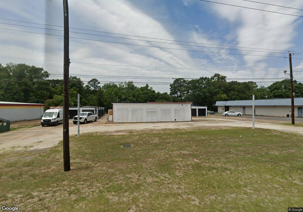
211 Highway 43 S Saraland, AL 36571
--
Bed
2
Baths
4,800
Sq Ft
0.36
Acres
About This Home
This home is located at 211 Highway 43 S, Saraland, AL 36571. 211 Highway 43 S is a home located in Mobile County with nearby schools including Saraland Elementary School, Nelson Leon Adams Middle School/Saraland Middle School, and Saraland High School.
Ownership History
Date
Name
Owned For
Owner Type
Purchase Details
Closed on
Oct 21, 2021
Sold by
Rice Raymond T and Rice Wynona S
Bought by
Rice Raymond Thomas and Strickland Wynona Ruth
Purchase Details
Closed on
Jun 29, 2007
Sold by
Green W Rodgers W and Green Peggy B
Bought by
Rice Raymond T and Rice Wynona S
Home Financials for this Owner
Home Financials are based on the most recent Mortgage that was taken out on this home.
Original Mortgage
$170,000
Interest Rate
7.5%
Mortgage Type
Commercial
Create a Home Valuation Report for This Property
The Home Valuation Report is an in-depth analysis detailing your home's value as well as a comparison with similar homes in the area
Home Values in the Area
Average Home Value in this Area
Purchase History
| Date | Buyer | Sale Price | Title Company |
|---|---|---|---|
| Rice Raymond Thomas | $234,000 | None Available | |
| Rice Raymond T | $179,000 | Slt |
Source: Public Records
Mortgage History
| Date | Status | Borrower | Loan Amount |
|---|---|---|---|
| Previous Owner | Rice Raymond T | $170,000 |
Source: Public Records
Tax History Compared to Growth
Tax History
| Year | Tax Paid | Tax Assessment Tax Assessment Total Assessment is a certain percentage of the fair market value that is determined by local assessors to be the total taxable value of land and additions on the property. | Land | Improvement |
|---|---|---|---|---|
| 2024 | $3,380 | $57,480 | $8,940 | $48,540 |
| 2023 | $3,420 | $46,800 | $9,720 | $37,080 |
| 2022 | $2,785 | $46,800 | $9,720 | $37,080 |
| 2021 | $2,785 | $46,800 | $9,720 | $37,080 |
| 2020 | $2,679 | $45,640 | $9,720 | $35,920 |
| 2019 | $2,551 | $42,880 | $9,720 | $33,160 |
| 2018 | $2,551 | $42,880 | $0 | $0 |
| 2017 | $2,551 | $42,880 | $0 | $0 |
| 2016 | $2,607 | $43,820 | $0 | $0 |
| 2013 | $2,488 | $47,340 | $0 | $0 |
Source: Public Records
Map
Nearby Homes
- 32 Everett Ave E
- 111 Bethel Forest Dr S
- 114 Bethel Forest Dr S
- 228 Lucille St
- 127 Lillian Ave
- 127 Anderson Rd
- 21 Frances St
- 13 Cypress Dr
- 208 Strange Ave
- 306 Mignionette Ave
- 0 Lind St
- 325 Bryant Ct
- 410 Allen Cir
- 321 Ferry Ave
- 108 Craig Dr
- 00000 Bayou Sara Ave
- 253 Autumn Dr
- 234 Autumn Dr
- 127 Armond Dr
- 129 Lafayette Dr
- 5 W Everett Ave Unit 5
- 3 W Everett Ave
- 223 Highway 43 N
- 215 Saraland Blvd S
- 215 Highway 43 S Unit D
- 104 Highway 43 S
- 2 W Everett Ave Unit 2
- 1 W Everett Ave
- 1 W Everett Ave Unit 1
- 15 Everett Ave W
- 207 Highway 43 S
- 4 W Everett Ave Unit 4
- 21 Bethel Forest Dr S
- 17 Everett Ave W
- 16 Everett Ave W
- 202 Saraland Blvd S
- 202 Highway 43 S Unit BLDG E
- 202 Highway 43 S Unit BLDG D
- 202 Highway 43 S Unit BLDG C
- 202 Highway 43 S