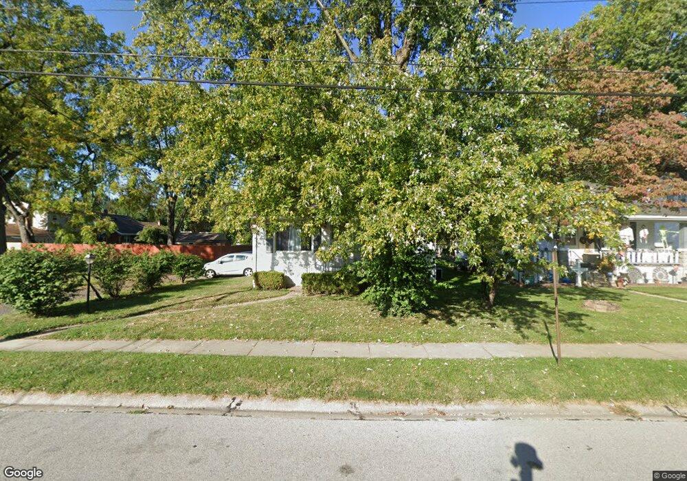
211 Merrell St Collinsville, IL 62234
Estimated Value: $127,000 - $199,000
2
Beds
2
Baths
1,197
Sq Ft
$133/Sq Ft
Est. Value
About This Home
This home is located at 211 Merrell St, Collinsville, IL 62234 and is currently estimated at $159,124, approximately $132 per square foot. 211 Merrell St is a home located in Madison County with nearby schools including Summit Elementary School, Dorris Intermediate School, and Collinsville Middle School.
Ownership History
Date
Name
Owned For
Owner Type
Purchase Details
Closed on
Nov 4, 2011
Sold by
Humphrey Gary Alan and Humphrey Craig Richard
Bought by
Oseguera Maria R
Current Estimated Value
Home Financials for this Owner
Home Financials are based on the most recent Mortgage that was taken out on this home.
Original Mortgage
$63,352
Outstanding Balance
$43,677
Interest Rate
4.25%
Mortgage Type
FHA
Estimated Equity
$115,447
Create a Home Valuation Report for This Property
The Home Valuation Report is an in-depth analysis detailing your home's value as well as a comparison with similar homes in the area
Home Values in the Area
Average Home Value in this Area
Purchase History
| Date | Buyer | Sale Price | Title Company |
|---|---|---|---|
| Oseguera Maria R | $65,000 | Abstracts & Titles Inc |
Source: Public Records
Mortgage History
| Date | Status | Borrower | Loan Amount |
|---|---|---|---|
| Open | Oseguera Maria R | $63,352 |
Source: Public Records
Tax History Compared to Growth
Tax History
| Year | Tax Paid | Tax Assessment Tax Assessment Total Assessment is a certain percentage of the fair market value that is determined by local assessors to be the total taxable value of land and additions on the property. | Land | Improvement |
|---|---|---|---|---|
| 2024 | $2,399 | $43,530 | $7,200 | $36,330 |
| 2023 | $2,399 | $40,290 | $6,660 | $33,630 |
| 2022 | $2,257 | $36,090 | $5,960 | $30,130 |
| 2021 | $1,928 | $33,910 | $5,600 | $28,310 |
| 2020 | $1,839 | $32,350 | $5,340 | $27,010 |
| 2019 | $1,776 | $31,250 | $5,160 | $26,090 |
| 2018 | $1,213 | $22,580 | $4,870 | $17,710 |
| 2017 | $1,206 | $22,130 | $4,770 | $17,360 |
| 2016 | $1,261 | $22,130 | $4,770 | $17,360 |
| 2015 | $1,165 | $21,560 | $4,650 | $16,910 |
| 2014 | $1,165 | $21,560 | $4,650 | $16,910 |
| 2013 | $1,165 | $21,560 | $4,650 | $16,910 |
Source: Public Records
Map
Nearby Homes
- 205 Audrey Ave
- 108 Westridge Dr
- 101 Westminster Dr
- 126 Collinsville Ave
- 300 N Combs Ave
- 221 N Hesperia St Unit 221 A and 221 B
- 119 N Hesperia St
- 611 W Main St
- 0 Elm St
- 100 Debbie Dr
- 746 Maple St
- 510 N Combs Ave
- 506 W Clay St
- 820 Bond Ave
- 125 S Hesperia St
- 419 Bell St
- Lot 32 Jefferson Ave
- 580 N Guernsey St
- Lot 37 Jefferson Ave
- Lot 38 Jefferson Ave
- 213 Merrell St
- 217 Merrell St
- 1209 Powell Ave
- 214 Merrell St
- 1025 W Clay St
- 1029 W Clay St
- 1027 W Clay St
- 1208 Powell Ave
- 1031 W Clay St
- 301 Merrell St
- 1108 Powell Ave
- 1015 W Clay St
- 1203 Powell Ave
- 1212 Powell Ave
- 1033 W Clay St
- 1011 W Clay St
- 1106 Powell Ave
- 303 Merrell St
- 1115 W Clay St
- 1005 W Clay St