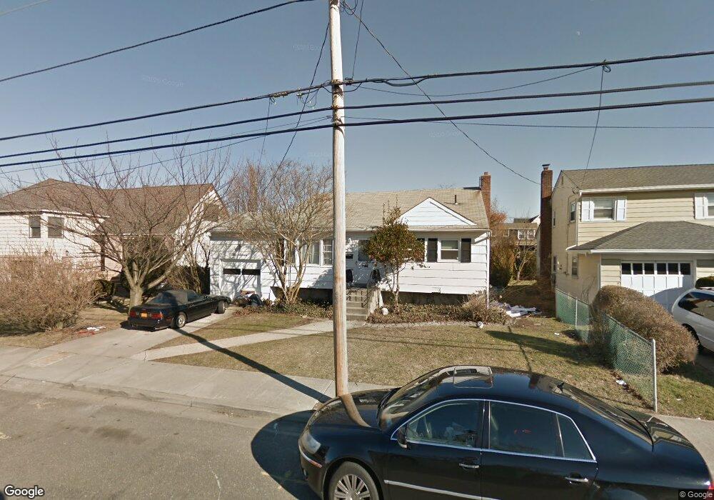
211 Saint Marks Ave Freeport, NY 11520
Estimated Value: $605,000 - $646,800
--
Bed
1
Bath
952
Sq Ft
$657/Sq Ft
Est. Value
About This Home
This home is located at 211 Saint Marks Ave, Freeport, NY 11520 and is currently estimated at $625,900, approximately $657 per square foot. 211 Saint Marks Ave is a home located in Nassau County with nearby schools including Columbus Avenue School, Caroline G. Atkinson Intermediate School, and John W Dodd Middle School.
Ownership History
Date
Name
Owned For
Owner Type
Purchase Details
Closed on
Dec 3, 2016
Sold by
Stapleton Tamika N and Cox-Boyd Tamika
Bought by
Stapleton Tamika N
Current Estimated Value
Purchase Details
Closed on
Sep 15, 2011
Sold by
Ginley Bernadette
Bought by
Cox Tamika Boyd
Home Financials for this Owner
Home Financials are based on the most recent Mortgage that was taken out on this home.
Original Mortgage
$233,209
Outstanding Balance
$160,537
Interest Rate
4.37%
Mortgage Type
FHA
Estimated Equity
$465,363
Purchase Details
Closed on
Sep 30, 2010
Sold by
Ginley Louise A
Bought by
Ginley Bernadette
Create a Home Valuation Report for This Property
The Home Valuation Report is an in-depth analysis detailing your home's value as well as a comparison with similar homes in the area
Home Values in the Area
Average Home Value in this Area
Purchase History
| Date | Buyer | Sale Price | Title Company |
|---|---|---|---|
| Stapleton Tamika N | -- | Closing Usa Llc | |
| Cox Tamika Boyd | $239,300 | -- | |
| Ginley Bernadette | -- | -- |
Source: Public Records
Mortgage History
| Date | Status | Borrower | Loan Amount |
|---|---|---|---|
| Open | Cox Tamika Boyd | $233,209 |
Source: Public Records
Tax History Compared to Growth
Tax History
| Year | Tax Paid | Tax Assessment Tax Assessment Total Assessment is a certain percentage of the fair market value that is determined by local assessors to be the total taxable value of land and additions on the property. | Land | Improvement |
|---|---|---|---|---|
| 2025 | $8,237 | $382 | $165 | $217 |
| 2024 | $836 | $382 | $165 | $217 |
| 2023 | $6,651 | $382 | $165 | $217 |
| 2022 | $6,651 | $382 | $165 | $217 |
| 2021 | $9,624 | $366 | $158 | $208 |
| 2020 | $6,447 | $479 | $357 | $122 |
| 2019 | $5,711 | $479 | $357 | $122 |
| 2018 | $5,499 | $612 | $0 | $0 |
| 2017 | $5,965 | $612 | $456 | $156 |
| 2016 | $6,884 | $612 | $456 | $156 |
| 2015 | $884 | $612 | $456 | $156 |
| 2014 | $884 | $612 | $456 | $156 |
| 2013 | $835 | $612 | $456 | $156 |
Source: Public Records
Map
Nearby Homes
- 226 Westside Ave Unit B
- 159 Branch Ave
- 171 Westside Ave
- 587 S Bayview Ave
- 292 Westside Ave
- 31 Casino St Unit PH
- 479 Roosevelt Ave
- 232 Nassau Ave
- 209 Nassau Ave
- 374 Miller Ave
- 65 Adams St
- 173 Cedar St
- 322 Miller Ave
- 214 Westend Ave Unit 6c
- 210 Westend Ave Unit 8B
- 470 Miller Ave
- 28 Florence Ave
- 310 Miller Ave
- 8 Florence Ave Unit 16C
- 570 S Ocean Ave
- 217 Saint Marks Ave
- 210 Westside Ave
- 214 Westside Ave
- 212 Saint Marks Ave
- 206 Saint Marks Ave
- 206 Westside Ave
- 218 Saint Marks Ave
- 220 Westside Ave
- 227 Saint Marks Ave
- 222 Saint Marks Ave
- 197 Saint Marks Ave
- 231 Saint Marks Ave
- 189 Branch Ave
- 170 Westside Ave
- 198 Saint Marks Ave
- 181 Branch Ave
- 183 Branch Ave
- 226 Westside Ave Unit 23
- 226 Westside Ave Unit A
- 226 Westside Ave Unit D