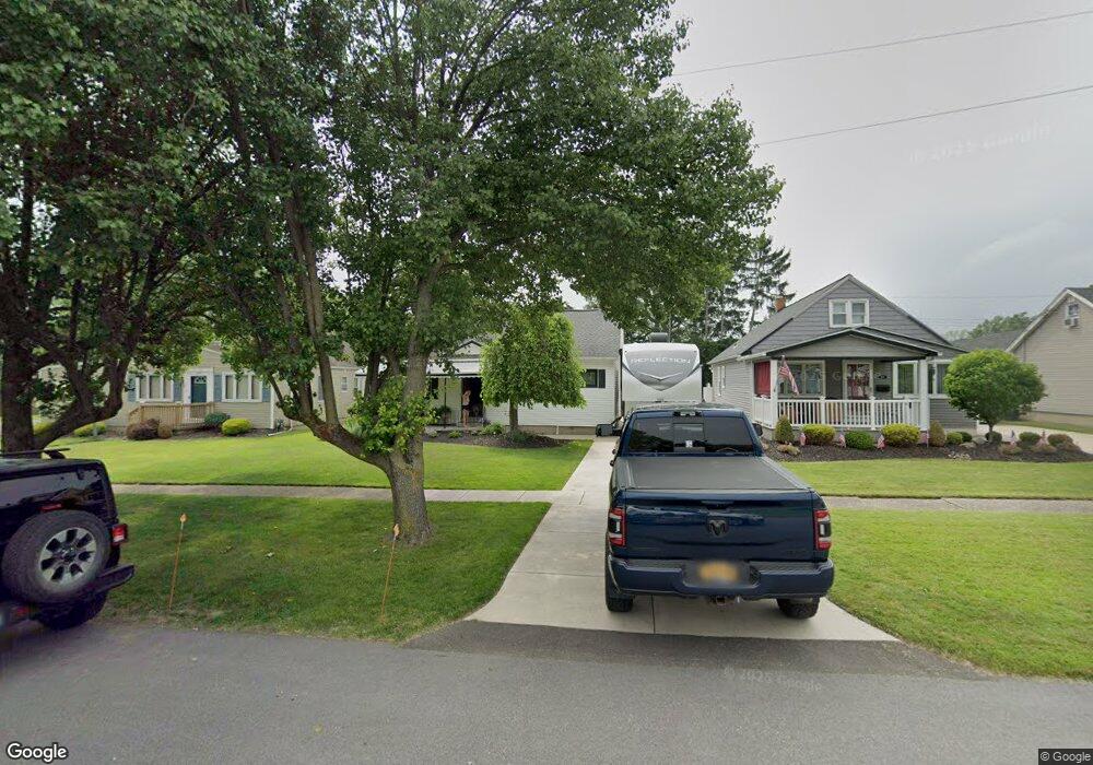
211 Tudor Blvd Buffalo, NY 14220
Estimated Value: $250,000 - $272,000
3
Beds
2
Baths
1,355
Sq Ft
$190/Sq Ft
Est. Value
About This Home
This home is located at 211 Tudor Blvd, Buffalo, NY 14220 and is currently estimated at $257,848, approximately $190 per square foot. 211 Tudor Blvd is a home located in Erie County with nearby schools including West Middle School, West Seneca West Senior High School, and Global Concepts Charter School.
Ownership History
Date
Name
Owned For
Owner Type
Purchase Details
Closed on
May 16, 2007
Sold by
Hsbc Mortgage Corp Usa
Bought by
Tyrpa Jill M
Current Estimated Value
Home Financials for this Owner
Home Financials are based on the most recent Mortgage that was taken out on this home.
Original Mortgage
$78,350
Interest Rate
6.72%
Mortgage Type
Purchase Money Mortgage
Purchase Details
Closed on
Apr 29, 1994
Sold by
Bamrick Daniel R and Bamrick Marianne
Bought by
Brigham Shelly-Jo
Create a Home Valuation Report for This Property
The Home Valuation Report is an in-depth analysis detailing your home's value as well as a comparison with similar homes in the area
Home Values in the Area
Average Home Value in this Area
Purchase History
| Date | Buyer | Sale Price | Title Company |
|---|---|---|---|
| Tyrpa Jill M | $82,474 | Monroe Title Insurance Corp | |
| Brigham Shelly-Jo | $85,000 | -- |
Source: Public Records
Mortgage History
| Date | Status | Borrower | Loan Amount |
|---|---|---|---|
| Previous Owner | Tyrpa Jill M | $78,350 |
Source: Public Records
Tax History Compared to Growth
Tax History
| Year | Tax Paid | Tax Assessment Tax Assessment Total Assessment is a certain percentage of the fair market value that is determined by local assessors to be the total taxable value of land and additions on the property. | Land | Improvement |
|---|---|---|---|---|
| 2024 | $4,725 | $46,200 | $6,300 | $39,900 |
| 2023 | $4,699 | $46,200 | $6,300 | $39,900 |
| 2022 | $4,637 | $46,200 | $6,300 | $39,900 |
| 2021 | $4,605 | $46,200 | $6,300 | $39,900 |
| 2020 | $4,196 | $46,200 | $6,300 | $39,900 |
| 2019 | $3,697 | $46,200 | $6,300 | $39,900 |
| 2018 | $3,989 | $46,200 | $6,300 | $39,900 |
| 2017 | $2,247 | $46,200 | $6,300 | $39,900 |
| 2016 | $3,723 | $46,200 | $6,300 | $39,900 |
| 2015 | -- | $46,200 | $6,300 | $39,900 |
| 2014 | -- | $46,200 | $6,300 | $39,900 |
Source: Public Records
Map
Nearby Homes
- 205 Covington Dr
- 280 Tampa Dr
- 99 Maryon Dr
- 125 Brookside Dr Unit 127
- 400 Sudbury Rd Unit 394
- 30 Woodcrest Dr
- 25 N Covington Dr
- 504 Downing St
- 46 Paxford Place
- 486 Potters Rd
- 80 Innes Rd
- 97 Fernald Ave
- 56 Cushing Place
- 27 Cushing Place
- 26 Cushing Place
- 1015 Abbott Rd
- 48 Ward Ct
- 36 Magnolia St
- 23 Shenandoah Rd
- 67 Lynn St