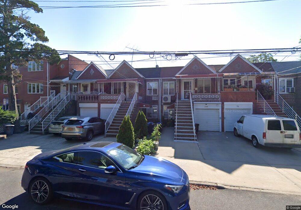
2110 Ford St Brooklyn, NY 11229
Sheepshead Bay NeighborhoodEstimated Value: $859,000 - $941,000
--
Bed
--
Bath
1,876
Sq Ft
$473/Sq Ft
Est. Value
About This Home
This home is located at 2110 Ford St, Brooklyn, NY 11229 and is currently estimated at $887,943, approximately $473 per square foot. 2110 Ford St is a home located in Kings County with nearby schools including P.S. 194 Raoul Wallenberg, J.H.S. 278 Marine Park, and New Visions Charter High School for Advanced Math/ Science.
Ownership History
Date
Name
Owned For
Owner Type
Purchase Details
Closed on
Oct 17, 2017
Sold by
Leung Lillian and Lui Peter
Bought by
Lillian Leung Revocable Trust and Lillian Leung As Trustee
Current Estimated Value
Purchase Details
Closed on
Jul 11, 2007
Sold by
Leung Lillian and Leung Mei Fong
Bought by
Leung Lillian and Lui Peter
Purchase Details
Closed on
Aug 14, 1996
Sold by
Leung Mei Fong
Bought by
Leung Mei Fong and Leung Lillian
Create a Home Valuation Report for This Property
The Home Valuation Report is an in-depth analysis detailing your home's value as well as a comparison with similar homes in the area
Home Values in the Area
Average Home Value in this Area
Purchase History
| Date | Buyer | Sale Price | Title Company |
|---|---|---|---|
| Lillian Leung Revocable Trust | -- | -- | |
| Lillian Leung Revocable Trust | -- | -- | |
| Leung Lillian | -- | -- | |
| Leung Lillian | -- | -- | |
| Leung Mei Fong | -- | -- | |
| Leung Mei Fong | -- | -- | |
| Leung Mei Fong | -- | -- |
Source: Public Records
Tax History Compared to Growth
Tax History
| Year | Tax Paid | Tax Assessment Tax Assessment Total Assessment is a certain percentage of the fair market value that is determined by local assessors to be the total taxable value of land and additions on the property. | Land | Improvement |
|---|---|---|---|---|
| 2025 | $7,080 | $49,740 | $9,240 | $40,500 |
| 2024 | $7,080 | $51,480 | $9,240 | $42,240 |
| 2023 | $7,027 | $51,480 | $9,240 | $42,240 |
| 2022 | $6,254 | $43,320 | $9,240 | $34,080 |
| 2021 | $6,517 | $39,300 | $9,240 | $30,060 |
| 2020 | $6,218 | $46,620 | $9,240 | $37,380 |
| 2019 | $6,145 | $46,620 | $9,240 | $37,380 |
| 2018 | $5,943 | $29,154 | $6,167 | $22,987 |
| 2017 | $5,607 | $27,504 | $6,294 | $21,210 |
| 2016 | $5,187 | $25,948 | $7,252 | $18,696 |
| 2015 | $3,308 | $24,480 | $10,260 | $14,220 |
| 2014 | $3,308 | $24,480 | $10,260 | $14,220 |
Source: Public Records
Map
Nearby Homes
- 2076 Coyle St
- 2041 Ford St
- 2039 Coyle St
- 2039 Batchelder St
- 2022 Ford St
- 2016 Coyle St
- 2142 Gerritsen Ave Unit 103
- 2156 Gerritsen Ave
- 2126 Gerritsen Ave Unit 101
- 2141 Ford St
- 3030 Avenue T
- 2170 Brigham St Unit 1D
- 2170 Brigham St Unit 4h
- 2982 Avenue T
- 2165 Brigham St Unit 3F
- 2165 Brigham St Unit 2A
- 2165 Brigham St Unit 1C
- 2190 Brigham St Unit 1B
- 2106 Ford St
- 2112 Ford St
- 2104 Ford St
- 2114 Ford St
- 2102 Ford St
- 2116 Ford St
- 2118-2126 Ford St
- 2107 Batchelder St
- 2105 Batchelder St
- 2111 Batchelder St
- 2103 Batchelder St
- 2115 Batchelder St
- 2101 Batchelder St
- 2126 Ford St Unit 2
- 2119 Batchelder St
- 2121 Batchelder St
- 2123 Batchelder St
- 2113 Ford St
- 2115 Ford St
- 3019 Avenue U