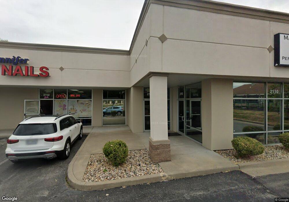
2110 NW State Route 7 Blue Springs, MO 64014
--
Bed
--
Bath
5,186
Sq Ft
0.8
Acres
About This Home
This home is located at 2110 NW State Route 7, Blue Springs, MO 64014. 2110 NW State Route 7 is a home located in Jackson County with nearby schools including Lucy Franklin Elementary School, Brittany Hill Middle School, and Blue Springs High School.
Ownership History
Date
Name
Owned For
Owner Type
Purchase Details
Closed on
Jul 24, 2008
Sold by
Xtreme Property Group Llc
Bought by
Charford Inc
Purchase Details
Closed on
Aug 3, 2005
Sold by
Speer & Tebbe Enterprises Inc
Bought by
Xtreme Property Group Llc
Home Financials for this Owner
Home Financials are based on the most recent Mortgage that was taken out on this home.
Original Mortgage
$1,200,000
Interest Rate
5.55%
Mortgage Type
Commercial
Purchase Details
Closed on
Sep 29, 2004
Sold by
Doubledee Harold G and Doubledee Eunice I
Bought by
Speer & Tebee Enterprises Inc
Home Financials for this Owner
Home Financials are based on the most recent Mortgage that was taken out on this home.
Original Mortgage
$1,215,500
Interest Rate
5.81%
Mortgage Type
Commercial
Create a Home Valuation Report for This Property
The Home Valuation Report is an in-depth analysis detailing your home's value as well as a comparison with similar homes in the area
Home Values in the Area
Average Home Value in this Area
Purchase History
| Date | Buyer | Sale Price | Title Company |
|---|---|---|---|
| Charford Inc | $800,000 | None Available | |
| Xtreme Property Group Llc | -- | Stewart Title Of Kansas City | |
| Speer & Tebee Enterprises Inc | -- | Capital Title Agency Inc |
Source: Public Records
Mortgage History
| Date | Status | Borrower | Loan Amount |
|---|---|---|---|
| Previous Owner | Xtreme Property Group Llc | $1,200,000 | |
| Previous Owner | Speer & Tebee Enterprises Inc | $1,215,500 |
Source: Public Records
Tax History Compared to Growth
Tax History
| Year | Tax Paid | Tax Assessment Tax Assessment Total Assessment is a certain percentage of the fair market value that is determined by local assessors to be the total taxable value of land and additions on the property. | Land | Improvement |
|---|---|---|---|---|
| 2025 | $11,852 | $142,294 | $110,592 | $31,702 |
| 2024 | $11,659 | $123,520 | $96,000 | $27,520 |
| 2023 | $11,659 | $123,520 | $96,000 | $27,520 |
| 2022 | $12,354 | $117,760 | $108,896 | $8,864 |
| 2021 | $12,344 | $117,760 | $108,896 | $8,864 |
| 2020 | $19,417 | $187,968 | $108,896 | $79,072 |
| 2019 | $18,861 | $187,968 | $108,896 | $79,072 |
| 2018 | $11,336 | $109,330 | $54,448 | $54,882 |
| 2017 | $11,173 | $127,027 | $70,803 | $56,224 |
| 2016 | $11,173 | $108,000 | $54,464 | $53,536 |
| 2014 | $11,204 | $108,000 | $54,464 | $53,536 |
Source: Public Records
Map
Nearby Homes
- 2105 NW 5th St
- 912 NW Forest Dr
- 908 NW Timber Oak Dr
- 1000 NW Forest Dr
- 2100 NW 12th St
- 2100 NW Parker Ct
- 280 NW Beau Dr
- 1113 NW Forest Dr
- 1912 NW Manor Dr
- 2323 NW Acorn Dr
- 904 NW Oakridge Dr
- 2117 NW Parker Ct
- 1201 NW Burr Oak Ct
- 1504 NW Weatherstone Dr
- 1113 NW Roanoke Dr
- 2400 NW 1st St
- 204 NW Golfview Dr
- 1601 NW Weatherstone Ct
- 105 NE Leann Dr
- 2904 NW 5th St
- 2134 Missouri 7
- 2100 NW 7 Hwy
- 2100 NW State Route 7
- 2013 NW 6th Terrace
- 615 NW Manor Dr
- 2009 NW 6th Terrace
- 2017 NW 6th Terrace
- 2021 NW 6th Terrace
- 2005 NW 6th Terrace
- 2101 NW 6th Terrace
- 2001 NW 6th Terrace
- 524 NW Beau Cir
- 2131 N 7 Hwy
- 525 NW Beau Cir
- 1800 NW 6th Terrace
- 2105 NW 6th Terrace
- 2015 NW State Route 7
- 525 NW Manor Dr
- 521 NW Beau Cir
- 600 NW Manor Dr