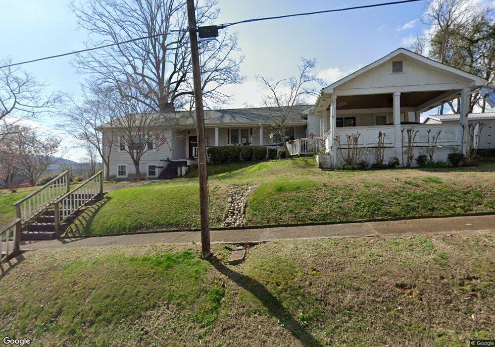
2111 Brown St Guntersville, AL 35976
Estimated Value: $288,000 - $416,000
3
Beds
3
Baths
2,534
Sq Ft
$136/Sq Ft
Est. Value
About This Home
This home is located at 2111 Brown St, Guntersville, AL 35976 and is currently estimated at $343,802, approximately $135 per square foot. 2111 Brown St is a home located in Marshall County with nearby schools including Guntersville Elementary School, Cherokee Elementary School, and Guntersville Middle School.
Ownership History
Date
Name
Owned For
Owner Type
Purchase Details
Closed on
Nov 5, 2021
Sold by
Brown Kimala H and Brown Mitchell L
Bought by
Brown Kimala H and Brown Mitchell L
Current Estimated Value
Purchase Details
Closed on
Oct 23, 2013
Sold by
Caffey Guy H
Bought by
Graham Kimala
Home Financials for this Owner
Home Financials are based on the most recent Mortgage that was taken out on this home.
Original Mortgage
$139,200
Interest Rate
4.52%
Mortgage Type
New Conventional
Purchase Details
Closed on
Jun 15, 2007
Sold by
Hand Shonda and Caffey Shonda M
Bought by
Caffey Guy H
Create a Home Valuation Report for This Property
The Home Valuation Report is an in-depth analysis detailing your home's value as well as a comparison with similar homes in the area
Home Values in the Area
Average Home Value in this Area
Purchase History
| Date | Buyer | Sale Price | Title Company |
|---|---|---|---|
| Brown Kimala H | -- | None Available | |
| Brown Kimala H | -- | Beard Will | |
| Graham Kimala | $174,000 | None Available | |
| Caffey Guy H | $125,000 | None Available |
Source: Public Records
Mortgage History
| Date | Status | Borrower | Loan Amount |
|---|---|---|---|
| Previous Owner | Graham Kimala | $139,200 |
Source: Public Records
Tax History Compared to Growth
Tax History
| Year | Tax Paid | Tax Assessment Tax Assessment Total Assessment is a certain percentage of the fair market value that is determined by local assessors to be the total taxable value of land and additions on the property. | Land | Improvement |
|---|---|---|---|---|
| 2024 | -- | $20,580 | $0 | $0 |
| 2023 | $0 | $20,580 | $0 | $0 |
| 2022 | $0 | $20,580 | $0 | $0 |
| 2021 | $832 | $20,580 | $0 | $0 |
| 2020 | $682 | $17,100 | $0 | $0 |
| 2017 | $626 | $15,800 | $0 | $0 |
| 2015 | -- | $17,360 | $0 | $0 |
| 2014 | -- | $17,360 | $0 | $0 |
Source: Public Records
Map
Nearby Homes
- 720 Hill Ave
- 810 Blount Ave
- .84 acres A U S 431
- 20138 U S 431
- .84 acres U S 431
- 12261 U S 431
- 838 Spur Track Ln
- 7 Richardson St
- 11 Richardson St
- 5 Richardson St
- 9 Richardson St
- 3 Richardson St
- .48 ACRES Blount Ave
- 1904 Debow St
- 1808 Brown St
- Lot 42 Spy Glass Cove
- Lot 41 Spy Glass Cove
- Lot 22 Adventure Rd
- Lot 9 Lusk St
- Lot 10 Lusk St