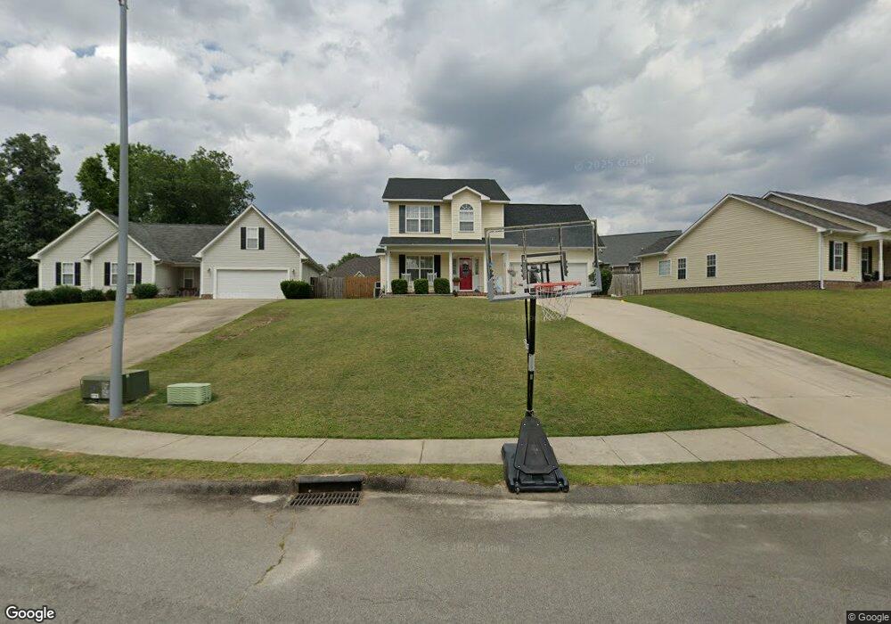
2112 Kendall Grove Ct Fayetteville, NC 28306
Douglas Byrd NeighborhoodEstimated Value: $256,000 - $258,355
3
Beds
3
Baths
1,748
Sq Ft
$147/Sq Ft
Est. Value
About This Home
This home is located at 2112 Kendall Grove Ct, Fayetteville, NC 28306 and is currently estimated at $257,339, approximately $147 per square foot. 2112 Kendall Grove Ct is a home located in Cumberland County with nearby schools including Cumberland Mills Elementary School, Douglas Byrd Middle School, and Douglas Byrd High School.
Ownership History
Date
Name
Owned For
Owner Type
Purchase Details
Closed on
Feb 25, 2016
Sold by
Freeman Michael Thomas and Freeman Regina Taylor
Bought by
Freeman Michael Thomas and Freeman Regina Taylor
Current Estimated Value
Home Financials for this Owner
Home Financials are based on the most recent Mortgage that was taken out on this home.
Original Mortgage
$107,000
Outstanding Balance
$85,138
Interest Rate
3.81%
Mortgage Type
New Conventional
Estimated Equity
$172,201
Purchase Details
Closed on
Jan 18, 2008
Sold by
Hcc Investments Llc
Bought by
Freeman Michael Thomas
Home Financials for this Owner
Home Financials are based on the most recent Mortgage that was taken out on this home.
Original Mortgage
$118,750
Interest Rate
6.06%
Mortgage Type
New Conventional
Create a Home Valuation Report for This Property
The Home Valuation Report is an in-depth analysis detailing your home's value as well as a comparison with similar homes in the area
Home Values in the Area
Average Home Value in this Area
Purchase History
| Date | Buyer | Sale Price | Title Company |
|---|---|---|---|
| Freeman Michael Thomas | -- | None Available | |
| Freeman Michael Thomas | $125,000 | -- |
Source: Public Records
Mortgage History
| Date | Status | Borrower | Loan Amount |
|---|---|---|---|
| Open | Freeman Michael Thomas | $107,000 | |
| Previous Owner | Freeman Michael Thomas | $118,750 |
Source: Public Records
Tax History Compared to Growth
Tax History
| Year | Tax Paid | Tax Assessment Tax Assessment Total Assessment is a certain percentage of the fair market value that is determined by local assessors to be the total taxable value of land and additions on the property. | Land | Improvement |
|---|---|---|---|---|
| 2024 | $2,013 | $138,816 | $20,000 | $118,816 |
| 2023 | $1,510 | $138,816 | $20,000 | $118,816 |
| 2022 | $1,436 | $138,816 | $20,000 | $118,816 |
| 2021 | $1,436 | $138,816 | $20,000 | $118,816 |
| 2019 | $1,436 | $138,100 | $20,000 | $118,100 |
| 2018 | $1,384 | $138,100 | $20,000 | $118,100 |
| 2017 | $1,384 | $138,100 | $20,000 | $118,100 |
| 2016 | $1,484 | $159,100 | $20,000 | $139,100 |
| 2015 | $1,484 | $159,100 | $20,000 | $139,100 |
| 2014 | $1,484 | $159,100 | $20,000 | $139,100 |
Source: Public Records
Map
Nearby Homes
- 2024 Ivey Commons Rd
- 2532 Cameron Woods Ln
- 2536 Cameron Woods Ln
- 5123 Buckskin Dr
- 2639 Crystal Springs Dr
- 5895 Columbine Rd
- 3225 Marigold Dr
- 2604 Burke Ln
- 5842 Columbine Rd
- 2613 Sedgefield Dr
- 2658 Driftwood Dr
- 5532 Thackeray Dr
- 3238 Periwinkle Dr
- 3165 George Owen Rd
- 2531 Pinnacle Dr
- 0 (TBD) Hope Mills Rd
- 2714 George Owen Rd
- 3108 Tettenbury Dr
- 2108 Kendall Grove Ct
- 2116 Kendall Grove Ct
- 2628 Gressitt Point Ln
- 2624 Gressitt Point Ln
- 2632 Gressitt Point Ln
- 2620 Gressitt Point Ln
- 2120 Kendall Grove Ct
- 2109 Kendall Grove Ct
- 2109/2111 Kendall Grove Ct
- 2117 Kendall Grove Ct
- 2111 Kendall Grove Ct
- 2616 Gressitt Point Ln
- 2124 Kendall Grove Ct
- 2105 Kendall Grove Ct
- 2121 Kendall Grove Ct
- 2612 Gressitt Point Ln
- 2706 Gressitt Point Ln
- 2629 Gressitt Point Ln
- 2625 Gressitt Point Ln
- 2633 Gressitt Point Ln