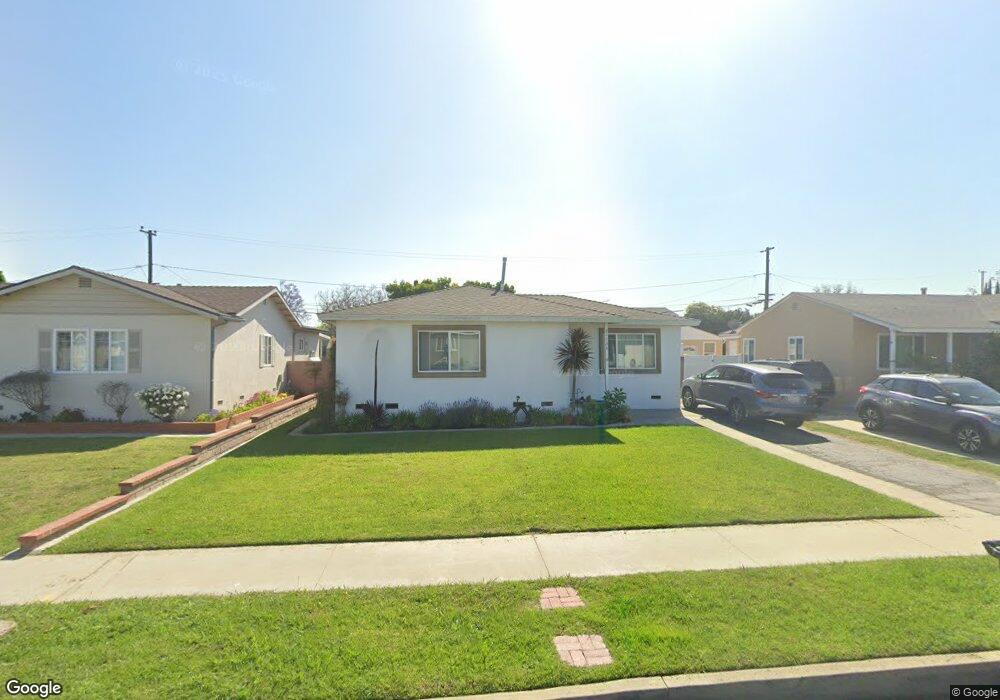
21134 Berendo Ave Torrance, CA 90502
West Carson NeighborhoodEstimated Value: $745,640 - $781,000
2
Beds
1
Bath
875
Sq Ft
$875/Sq Ft
Est. Value
About This Home
This home is located at 21134 Berendo Ave, Torrance, CA 90502 and is currently estimated at $765,660, approximately $875 per square foot. 21134 Berendo Ave is a home located in Los Angeles County with nearby schools including Van Deene Avenue Elementary School, Stephen M. White Middle School, and Nathaniel Narbonne Senior High School.
Ownership History
Date
Name
Owned For
Owner Type
Purchase Details
Closed on
Apr 7, 2011
Sold by
Nerja Investments Llc
Bought by
Torres Jorge and Torres Sandy P
Current Estimated Value
Home Financials for this Owner
Home Financials are based on the most recent Mortgage that was taken out on this home.
Original Mortgage
$313,837
Outstanding Balance
$216,012
Interest Rate
4.75%
Mortgage Type
FHA
Estimated Equity
$549,648
Purchase Details
Closed on
Sep 27, 2010
Sold by
Rametta David
Bought by
Nerja Investments Llc
Create a Home Valuation Report for This Property
The Home Valuation Report is an in-depth analysis detailing your home's value as well as a comparison with similar homes in the area
Home Values in the Area
Average Home Value in this Area
Purchase History
| Date | Buyer | Sale Price | Title Company |
|---|---|---|---|
| Torres Jorge | $322,000 | Lawyers Title Company | |
| Nerja Investments Llc | $207,000 | Cr Title Services Inc |
Source: Public Records
Mortgage History
| Date | Status | Borrower | Loan Amount |
|---|---|---|---|
| Open | Torres Jorge | $313,837 |
Source: Public Records
Tax History Compared to Growth
Tax History
| Year | Tax Paid | Tax Assessment Tax Assessment Total Assessment is a certain percentage of the fair market value that is determined by local assessors to be the total taxable value of land and additions on the property. | Land | Improvement |
|---|---|---|---|---|
| 2025 | $5,379 | $412,525 | $330,026 | $82,499 |
| 2024 | $5,379 | $404,437 | $323,555 | $80,882 |
| 2023 | $5,284 | $396,508 | $317,211 | $79,297 |
| 2022 | $5,030 | $388,735 | $310,992 | $77,743 |
| 2021 | $4,983 | $381,114 | $304,895 | $76,219 |
| 2019 | $4,824 | $369,811 | $295,852 | $73,959 |
| 2018 | $4,716 | $362,560 | $290,051 | $72,509 |
| 2016 | $4,508 | $348,484 | $278,789 | $69,695 |
| 2015 | $4,430 | $343,251 | $274,602 | $68,649 |
| 2014 | $4,425 | $336,528 | $269,223 | $67,305 |
Source: Public Records
Map
Nearby Homes
- 21141 Berendo Ave
- 1107 W 210th St
- 22325 Sage Ct
- 22302 Sage Ct
- 22303 Sage Ct
- 21125 Normandie Ave
- 20710 Raymond Ave
- 20616 Budlong Ave
- 20612 Kenwood Ave
- 20553 S Vermont Ave Unit 1
- 20553 S Vermont Ave Unit 6
- 20545 S Vermont Ave Unit 2
- 20813 Normandie Ave
- 941 W Carson St Unit 106
- 1291 Bonnet Way
- 1145 Milton St
- 20518 Raymond Ave
- 20907 Halldale Ave
- 1106 W 204th St
- 20414 Kenwood Ave
- 21140 Berendo Ave
- 21130 Berendo Ave
- 21144 Berendo Ave
- 21124 Berendo Ave
- 21135 Broadwell Ave
- 21141 Broadwell Ave
- 21131 Broadwell Ave
- 21145 Broadwell Ave
- 21125 Broadwell Ave
- 21118 Berendo Ave
- 21135 Berendo Ave
- 21129 Berendo Ave
- 21121 Broadwell Ave
- 21145 Berendo Ave
- 21123 Berendo Ave
- 21112 Berendo Ave
- 21119 Berendo Ave
- 1020 W 212th St
- 1026 W 212th St
- 1016 W 212th St