21180 Lake Sixteen Rd Mount Vernon, WA 98274
Estimated Value: $738,000 - $1,128,000
3
Beds
2
Baths
5,758
Sq Ft
$169/Sq Ft
Est. Value
About This Home
This home is located at 21180 Lake Sixteen Rd, Mount Vernon, WA 98274 and is currently estimated at $975,132, approximately $169 per square foot. 21180 Lake Sixteen Rd is a home located in Skagit County with nearby schools including Conway School.
Ownership History
Date
Name
Owned For
Owner Type
Purchase Details
Closed on
May 4, 2020
Sold by
Rh & Pa Smith Family Investments Llc
Bought by
Smith David S and Smith Eve K
Current Estimated Value
Purchase Details
Closed on
Jul 24, 2012
Sold by
Smith Richard H and Smith Patricia A
Bought by
Smith David Scott and Smith Eve Katherine
Home Financials for this Owner
Home Financials are based on the most recent Mortgage that was taken out on this home.
Original Mortgage
$260,000
Interest Rate
12%
Mortgage Type
Seller Take Back
Create a Home Valuation Report for This Property
The Home Valuation Report is an in-depth analysis detailing your home's value as well as a comparison with similar homes in the area
Home Values in the Area
Average Home Value in this Area
Purchase History
| Date | Buyer | Sale Price | Title Company |
|---|---|---|---|
| Smith David S | $18,000 | None Available | |
| Smith David Scott | $260,280 | Guardian Northwest Title |
Source: Public Records
Mortgage History
| Date | Status | Borrower | Loan Amount |
|---|---|---|---|
| Previous Owner | Smith David Scott | $260,000 |
Source: Public Records
Tax History Compared to Growth
Tax History
| Year | Tax Paid | Tax Assessment Tax Assessment Total Assessment is a certain percentage of the fair market value that is determined by local assessors to be the total taxable value of land and additions on the property. | Land | Improvement |
|---|---|---|---|---|
| 2025 | $9,040 | $1,054,800 | $345,200 | $709,600 |
| 2024 | $9,227 | $1,049,800 | $340,200 | $709,600 |
| 2023 | $9,227 | $1,029,800 | $320,200 | $709,600 |
| 2022 | $5,407 | $749,000 | $363,400 | $385,600 |
| 2021 | $5,232 | $545,800 | $304,800 | $241,000 |
| 2020 | $4,885 | $487,800 | $0 | $0 |
| 2019 | $4,202 | $453,900 | $0 | $0 |
| 2018 | $5,491 | $396,200 | $0 | $0 |
| 2017 | $4,268 | $438,600 | $0 | $0 |
| 2016 | $4,117 | $341,800 | $158,400 | $183,400 |
| 2015 | $3,679 | $319,100 | $147,900 | $171,200 |
| 2013 | $3,768 | $263,700 | $0 | $0 |
Source: Public Records
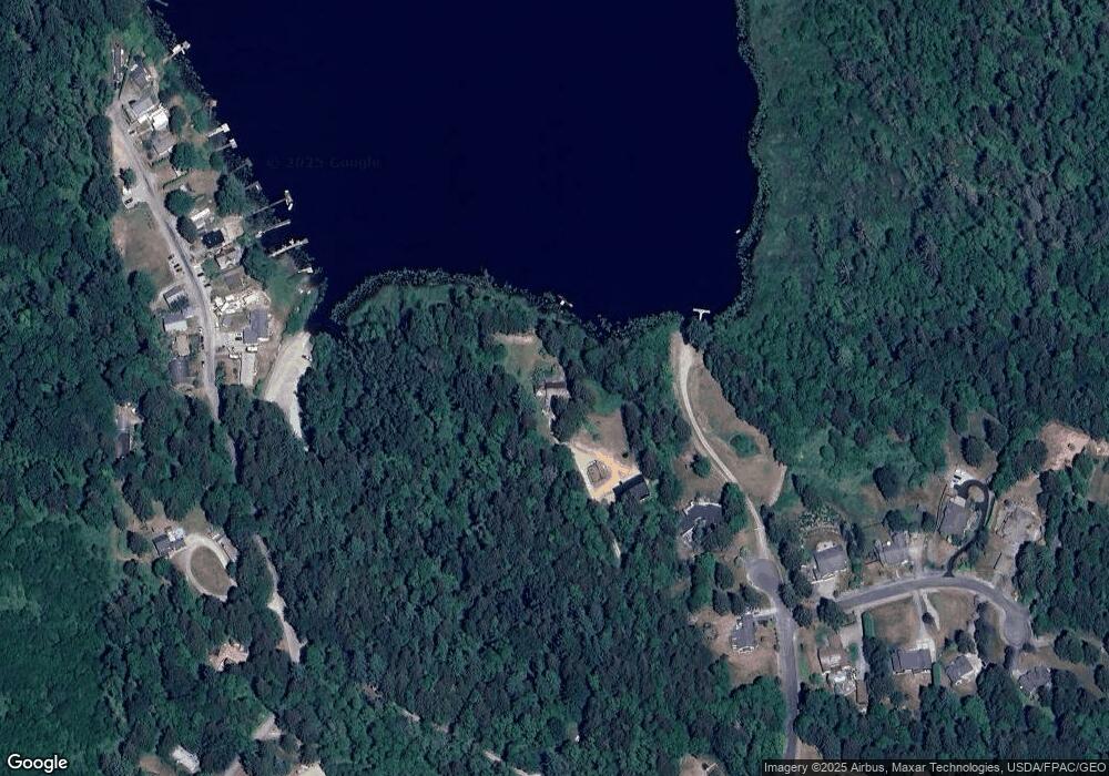
Map
Nearby Homes
- 21060 Bulson Rd
- 20616 Bulson Rd
- 22414 Bulson Rd
- 20555 Benson Ridge
- 21314 Starbird Rd
- 23330 State Route 534
- 18340 Osprey Ct
- 23158 Bonnieview Rd
- 23738 Carlson Place
- 22969 Lake McMurray Ln
- 3723 324th St NW
- 23415 Coots Cove Ln
- 17609 S Skyridge Dr
- 18895 W Big Lake Blvd
- 18545 W Big Lake Blvd
- 23217 State Route 9
- 17406 Fir Island Rd
- 17527 Little Mountain Place
- 19110 Sulfur Springs Rd
- 24869 Brotherhood Rd
- 21058 Estate Dr
- 21072 Estate Dr
- 20953 Lake Sixteen Rd
- 20947 Lake Sixteen Rd
- 21313 Egret Place
- 20939 Lake Sixteen Rd
- 20933 Lake Sixteen Rd
- 20925 Lake Sixteen Rd
- 21345 Egret Place
- 0 L10 Egret Place
- 0 L9 Egret Place
- 20946 Lake Sixteen Rd
- 20970 Lake Sixteen Rd
- 20960 Lake Sixteen Rd
- 20960 Lake 16 Rd
- 21320 Egret Place
- 21036 Lake Sixteen Rd
- 20938 Lake Sixteen Rd
- 21040 Lake Sixteen Rd
- 21359 Egret Place