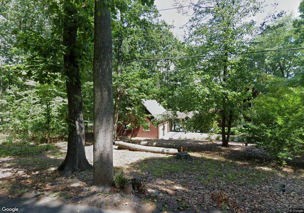
2119 Lakeside Dr Harpers Ferry, WV 25425
Estimated Value: $471,011 - $573,000
4
Beds
3
Baths
2,860
Sq Ft
$182/Sq Ft
Est. Value
About This Home
This home is located at 2119 Lakeside Dr, Harpers Ferry, WV 25425 and is currently estimated at $521,003, approximately $182 per square foot. 2119 Lakeside Dr is a home located in Jefferson County with nearby schools including Blue Ridge Elementary School, Harpers Ferry Middle School, and Washington High School.
Ownership History
Date
Name
Owned For
Owner Type
Purchase Details
Closed on
Jun 4, 2025
Sold by
Brown Patricia M and Brown Anthony M
Bought by
Brown Patricia M and Brown Anthony M
Current Estimated Value
Purchase Details
Closed on
Jan 24, 2011
Sold by
Brown S Christian and Brown Patricia M
Bought by
Brown Patricia M and Nichols Dorian Brown
Create a Home Valuation Report for This Property
The Home Valuation Report is an in-depth analysis detailing your home's value as well as a comparison with similar homes in the area
Home Values in the Area
Average Home Value in this Area
Purchase History
| Date | Buyer | Sale Price | Title Company |
|---|---|---|---|
| Brown Patricia M | -- | None Listed On Document | |
| Brown Patricia M | -- | None Listed On Document | |
| Brown Patricia M | -- | None Available |
Source: Public Records
Tax History Compared to Growth
Tax History
| Year | Tax Paid | Tax Assessment Tax Assessment Total Assessment is a certain percentage of the fair market value that is determined by local assessors to be the total taxable value of land and additions on the property. | Land | Improvement |
|---|---|---|---|---|
| 2025 | $2,568 | $241,000 | $93,000 | $148,000 |
| 2024 | $2,349 | $220,700 | $93,000 | $127,700 |
| 2023 | $2,344 | $220,700 | $93,000 | $127,700 |
| 2022 | $2,215 | $205,900 | $93,000 | $112,900 |
| 2021 | $2,058 | $189,400 | $93,000 | $96,400 |
| 2020 | $1,943 | $190,700 | $93,000 | $97,700 |
| 2019 | $1,685 | $165,300 | $66,400 | $98,900 |
| 2018 | $1,654 | $160,800 | $66,400 | $94,400 |
| 2017 | $1,667 | $161,900 | $66,400 | $95,500 |
| 2016 | $1,662 | $161,900 | $66,400 | $95,500 |
| 2015 | $1,615 | $157,100 | $66,400 | $90,700 |
| 2014 | $1,447 | $143,100 | $66,400 | $76,700 |
Source: Public Records
Map
Nearby Homes
- 26 Shore Ln
- 315 Lower Clubhouse Dr
- 326 Lower Clubhouse Dr
- 271 Moonshine Ln
- 307 Johnnycake Ln
- #2 Highview Rd
- #1 Highview Rd
- 413 Highview Rd
- Lots 2 & 3 Wolfe Hill Rd
- 133 Beechwood Ln
- 572 Johnnycake Ln
- 625 Gray Fox Rd
- 81 Shannondale Rd
- LOTS 11-13, 49 Sunset Ln
- Lot 6 Sunset Ln
- Lot 7 Sunset Ln
- 0 Winona Cir
- 78 Tulip Ct
- 56 Little Elk Trail
- 0 Wild Turkey Rd
- 2135 Lakeside Dr
- 248 Laurel Hill Rd
- 2075 Lakeside Dr
- 2156 Lakeside Dr
- 2175 Lakeside Dr
- 0 Laurel Hill Rd Unit 1007089054
- 0 Laurel Hill Rd Unit JF10145606
- 0 Laurel Hill Rd Unit WVJF2012702
- 0 Laurel Hill Rd Unit 1005889461
- 251 Laurel Hill Rd
- 314 Laurel Hill Rd
- 176 Laurel Hill Dr
- 2176 Lakeside Dr
- 2046 Lakeside Dr
- 2027 Lakeside Dr
- 303 Laurel Hill Rd
- 11 Lakeside Dr
- 199 Laurel Hill Rd
- 13 Lakeside Dr
- 647 Laurel Hill Rd