212 Anna St Brighton, IL 62012
Estimated Value: $143,000 - $210,000
--
Bed
--
Bath
1,636
Sq Ft
$112/Sq Ft
Est. Value
About This Home
This home is located at 212 Anna St, Brighton, IL 62012 and is currently estimated at $183,449, approximately $112 per square foot. 212 Anna St is a home located in Jersey County with nearby schools including Southwestern High School.
Ownership History
Date
Name
Owned For
Owner Type
Purchase Details
Closed on
Oct 26, 2021
Sold by
Werts Family Lt
Bought by
Lee-Werts Darin and Werts Kelley L
Current Estimated Value
Home Financials for this Owner
Home Financials are based on the most recent Mortgage that was taken out on this home.
Original Mortgage
$128,000
Outstanding Balance
$116,977
Interest Rate
2.8%
Mortgage Type
Purchase Money Mortgage
Estimated Equity
$66,472
Purchase Details
Closed on
Jun 14, 2016
Sold by
Werts Betty J
Bought by
Werts Donald L and Lewis Deborah L
Create a Home Valuation Report for This Property
The Home Valuation Report is an in-depth analysis detailing your home's value as well as a comparison with similar homes in the area
Home Values in the Area
Average Home Value in this Area
Purchase History
| Date | Buyer | Sale Price | Title Company |
|---|---|---|---|
| Lee-Werts Darin | $107,166 | Jersey County Title Company | |
| Werts Donald L | -- | None Available | |
| Werts Donlad L | -- | None Available |
Source: Public Records
Mortgage History
| Date | Status | Borrower | Loan Amount |
|---|---|---|---|
| Open | Lee-Werts Darin | $128,000 |
Source: Public Records
Tax History Compared to Growth
Tax History
| Year | Tax Paid | Tax Assessment Tax Assessment Total Assessment is a certain percentage of the fair market value that is determined by local assessors to be the total taxable value of land and additions on the property. | Land | Improvement |
|---|---|---|---|---|
| 2024 | $3,691 | $59,265 | $6,805 | $52,460 |
| 2023 | $3,601 | $53,875 | $6,185 | $47,690 |
| 2022 | $3,499 | $52,305 | $6,005 | $46,300 |
| 2021 | $2,874 | $42,280 | $5,640 | $36,640 |
| 2020 | $1,216 | $41,245 | $5,500 | $35,745 |
| 2019 | $1,216 | $39,095 | $5,215 | $33,880 |
| 2018 | $1,275 | $37,410 | $4,990 | $32,420 |
| 2017 | $1,285 | $34,965 | $4,665 | $30,300 |
| 2016 | $1,287 | $34,965 | $4,665 | $30,300 |
| 2015 | -- | $34,965 | $4,665 | $30,300 |
| 2014 | -- | $35,015 | $4,670 | $30,345 |
Source: Public Records
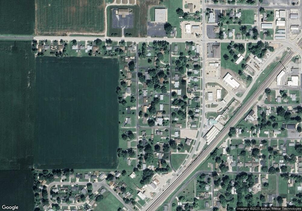
Map
Nearby Homes
- 212 North St
- 207 South St
- 619 S Main St
- 0 W County Line Rd Unit Tract 5
- 0 W County Line Rd Unit Tract 4
- 0 W County Line Rd Unit Tract 2
- 0 W County Line Rd Unit Tract 1
- 207 W Vine St
- 120 E Center St
- 10 Austin Ct
- 102 Avalon St
- 515 Mobile St
- 223 Cindy St
- 1850 W County Line Rd
- Tbd County Line Rd
- Tbd County Line Rd
- Tbd County Line Rd
- 0 Irish Ln
- 15315 Humbert Rd
- 1011 Voorhees Ln