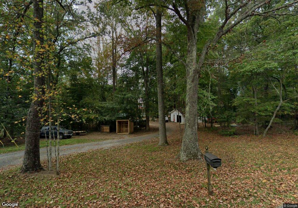
212 Burford Farm Rd Monroe, VA 24574
Estimated Value: $284,224 - $310,000
3
Beds
3
Baths
1,248
Sq Ft
$241/Sq Ft
Est. Value
About This Home
This home is located at 212 Burford Farm Rd, Monroe, VA 24574 and is currently estimated at $300,556, approximately $240 per square foot. 212 Burford Farm Rd is a home located in Amherst County with nearby schools including Elon Elementary School, Monelison Middle School, and Amherst County High School.
Ownership History
Date
Name
Owned For
Owner Type
Purchase Details
Closed on
Apr 11, 2022
Sold by
David Burford James and David Martha J
Bought by
Swartzentruber Tobias Jacob and Saunders Britteny Danielle
Current Estimated Value
Home Financials for this Owner
Home Financials are based on the most recent Mortgage that was taken out on this home.
Original Mortgage
$180,000
Outstanding Balance
$169,890
Interest Rate
4.72%
Mortgage Type
New Conventional
Estimated Equity
$130,666
Purchase Details
Closed on
Apr 18, 2011
Sold by
Buford James David
Bought by
Burford James David and Burford Martha J
Create a Home Valuation Report for This Property
The Home Valuation Report is an in-depth analysis detailing your home's value as well as a comparison with similar homes in the area
Home Values in the Area
Average Home Value in this Area
Purchase History
| Date | Buyer | Sale Price | Title Company |
|---|---|---|---|
| Swartzentruber Tobias Jacob | $200,000 | Henderson Ronald D | |
| Burford James David | -- | None Available |
Source: Public Records
Mortgage History
| Date | Status | Borrower | Loan Amount |
|---|---|---|---|
| Open | Swartzentruber Tobias Jacob | $180,000 |
Source: Public Records
Tax History Compared to Growth
Tax History
| Year | Tax Paid | Tax Assessment Tax Assessment Total Assessment is a certain percentage of the fair market value that is determined by local assessors to be the total taxable value of land and additions on the property. | Land | Improvement |
|---|---|---|---|---|
| 2025 | $960 | $157,300 | $32,100 | $125,200 |
| 2024 | $960 | $157,300 | $32,100 | $125,200 |
| 2023 | $960 | $157,300 | $32,100 | $125,200 |
| 2022 | $960 | $150,800 | $32,100 | $118,700 |
| 2021 | $920 | $150,800 | $32,100 | $118,700 |
| 2020 | $920 | $150,800 | $32,100 | $118,700 |
| 2019 | $945 | $154,900 | $38,100 | $116,800 |
| 2018 | $945 | $154,900 | $38,100 | $116,800 |
| 2017 | $945 | $154,900 | $38,100 | $116,800 |
| 2016 | $945 | $154,900 | $38,100 | $116,800 |
| 2015 | $867 | $154,900 | $38,100 | $116,800 |
| 2014 | $867 | $154,900 | $38,100 | $116,800 |
Source: Public Records
Map
Nearby Homes
- 216 Burford Farm Rd
- 1159 Cedar Gate Rd
- 0 Crawford's Hill Place
- 893 Cedar Gate Rd
- 839 Cedar Gate Rd
- 295 Foxcroft Dr
- 621 Cedar Gate Rd
- 1765 Winesap Rd
- 203 Ned Brown Rd
- 138 Magnolia Ln
- 171 Faulconerville Dr
- 1481 Winesap Rd
- 166 Matohe Rd
- 157 Old Country Rd
- 2294 High Peak Rd
- 1612 S Amherst Hwy
- 144 Manse Rd
- 124-138 Cedar Gate Rd
- 115 Mattiponi Dr
- 0 McIvor Ln
- 225 Burford Farm Rd
- 174 Burford Farm Rd
- 237 Burford Farm Rd
- 255 Burford Farm Rd
- 152 Burford Farm Rd
- 123 Peacedale Place
- 167 Burford Farm Rd
- 262 Burford Farm Rd
- 145 Burford Farm Rd
- 150 Peacedale Place
- 170 Burford Farm Rd
- 114 Burford Farm Rd
- 966 High Peak Rd
- 928 High Peak Rd
- 942 High Peak Rd
- 1250 High Peak Rd
- 914 High Peak Rd
- 990 High Peak Rd
- 892 High Peak Rd
- 961 High Peak Rd