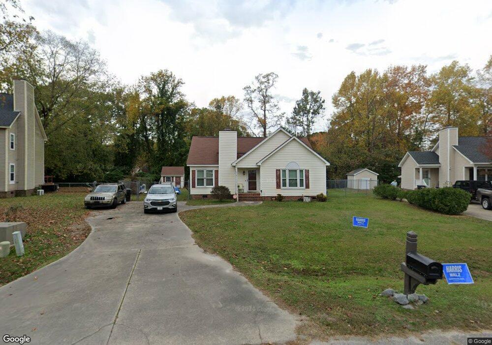
212 Kentucky Ave Rocky Mount, NC 27803
Estimated Value: $188,000 - $221,000
3
Beds
2
Baths
1,236
Sq Ft
$165/Sq Ft
Est. Value
About This Home
This home is located at 212 Kentucky Ave, Rocky Mount, NC 27803 and is currently estimated at $203,859, approximately $164 per square foot. 212 Kentucky Ave is a home located in Nash County with nearby schools including Nash Central High School, Coopers Elementary School, and Nash Central Middle School.
Ownership History
Date
Name
Owned For
Owner Type
Purchase Details
Closed on
Feb 27, 2009
Sold by
Wardell Gayle A
Bought by
Battle Kwan and Battle Samantha
Current Estimated Value
Home Financials for this Owner
Home Financials are based on the most recent Mortgage that was taken out on this home.
Original Mortgage
$78,452
Outstanding Balance
$49,697
Interest Rate
5.14%
Mortgage Type
FHA
Estimated Equity
$154,162
Create a Home Valuation Report for This Property
The Home Valuation Report is an in-depth analysis detailing your home's value as well as a comparison with similar homes in the area
Home Values in the Area
Average Home Value in this Area
Purchase History
| Date | Buyer | Sale Price | Title Company |
|---|---|---|---|
| Battle Kwan | $80,000 | None Available |
Source: Public Records
Mortgage History
| Date | Status | Borrower | Loan Amount |
|---|---|---|---|
| Open | Battle Kwan | $78,452 |
Source: Public Records
Tax History Compared to Growth
Tax History
| Year | Tax Paid | Tax Assessment Tax Assessment Total Assessment is a certain percentage of the fair market value that is determined by local assessors to be the total taxable value of land and additions on the property. | Land | Improvement |
|---|---|---|---|---|
| 2025 | $2,304 | $144,930 | $13,330 | $131,600 |
| 2024 | $2,304 | $90,460 | $13,330 | $77,130 |
| 2023 | $1,538 | $90,460 | $0 | $0 |
| 2022 | $1,312 | $90,460 | $13,330 | $77,130 |
| 2021 | $1,312 | $90,460 | $13,330 | $77,130 |
| 2020 | $1,194 | $90,460 | $13,330 | $77,130 |
| 2019 | $1,194 | $90,460 | $13,330 | $77,130 |
| 2018 | $1,194 | $90,460 | $0 | $0 |
| 2017 | $1,194 | $90,460 | $0 | $0 |
| 2015 | $1,258 | $95,329 | $0 | $0 |
| 2014 | $1,258 | $95,329 | $0 | $0 |
Source: Public Records
Map
Nearby Homes
- 605 Judge St
- 625 Speight Dr
- 117 Holly Dr
- 604 Speight Dr
- 804 Mill Branch Rd
- 406 Hilltop Dr
- 404 Hilltop Dr
- 4040 S Hathaway Blvd
- E Main St
- 8804 Mill Branch Rd
- 709 Queen St
- 5014 Davis Rd
- 216 Katie Dr
- 2808 S Wesleyan Blvd
- 9007 Brookfield Dr
- 9015 Brookfield Dr
- 8498 W Tarboro Rd Unit LotWP001
- 8498 W Tarboro Rd
- 7624 Jordan Rd
- Off of W Tarboro Rd Unit LotWP002
- 216 Kentucky Ct
- 216 Kentucky Ave
- 705 Judge St
- 204 Kentucky Ave
- 209 Kentucky Ave
- 220 Kentucky Ave
- 701 Judge St
- 709 Judge St
- 215 Kentucky Ave
- 201 Kentucky Ave
- 200 Kentucky Ave
- 224 Kentucky Ave
- 617 Judge St
- 301 Holly Dr
- 219 Kentucky Ave
- 305 Holly Dr
- 209 Holly Dr
- 196 Kentucky Ave
- 312 Scott Ct
- 195 Kentucky Ave