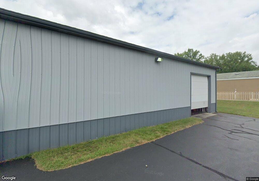
2120 S Sherman Dr Indianapolis, IN 46203
Near Southeast NeighborhoodEstimated Value: $115,000 - $199,585
2
Beds
--
Bath
886
Sq Ft
$183/Sq Ft
Est. Value
About This Home
This home is located at 2120 S Sherman Dr, Indianapolis, IN 46203 and is currently estimated at $162,195, approximately $183 per square foot. 2120 S Sherman Dr is a home located in Marion County with nearby schools including Paul I. Miller School No. 114, Eleanor Skillen School No. 34, and Ralph Waldo Emerson School 58.
Ownership History
Date
Name
Owned For
Owner Type
Purchase Details
Closed on
Jan 28, 2022
Sold by
Louise Edwards
Bought by
Esvm Properties Llc
Current Estimated Value
Purchase Details
Closed on
Jan 21, 2022
Sold by
Edwards Louise
Bought by
Esvm Properties Llc
Purchase Details
Closed on
Jan 10, 2022
Sold by
Louise Edwards
Bought by
Esvm Properties Llc
Purchase Details
Closed on
Nov 3, 2008
Sold by
Edwards Thomas H and Edwards Louise
Bought by
Edwards Louise
Create a Home Valuation Report for This Property
The Home Valuation Report is an in-depth analysis detailing your home's value as well as a comparison with similar homes in the area
Home Values in the Area
Average Home Value in this Area
Purchase History
| Date | Buyer | Sale Price | Title Company |
|---|---|---|---|
| Esvm Properties Llc | -- | Rooney Patrick M | |
| Esvm Properties Llc | -- | Rooney Patrick M | |
| Esvm Properties Llc | $680,000 | Rooney Patrick M | |
| Edwards Louise | -- | None Available |
Source: Public Records
Tax History Compared to Growth
Tax History
| Year | Tax Paid | Tax Assessment Tax Assessment Total Assessment is a certain percentage of the fair market value that is determined by local assessors to be the total taxable value of land and additions on the property. | Land | Improvement |
|---|---|---|---|---|
| 2024 | $4,250 | $141,200 | $90,500 | $50,700 |
| 2023 | $4,250 | $141,200 | $90,500 | $50,700 |
| 2022 | $3,949 | $141,200 | $90,500 | $50,700 |
| 2021 | $3,733 | $120,100 | $79,200 | $40,900 |
| 2020 | $3,733 | $120,800 | $79,200 | $41,600 |
| 2019 | $3,729 | $118,900 | $79,200 | $39,700 |
| 2018 | $3,783 | $118,900 | $79,200 | $39,700 |
| 2017 | $3,386 | $118,500 | $79,200 | $39,300 |
| 2016 | $3,204 | $116,200 | $79,200 | $37,000 |
| 2014 | $2,987 | $115,600 | $79,200 | $36,400 |
| 2013 | $2,966 | $115,600 | $79,200 | $36,400 |
Source: Public Records
Map
Nearby Homes
- 1927 Wagner Ln
- 1902 S Grant Ave
- 2052 Nolan Ave
- 1649 S Sherman Dr
- 3603 Margaret Ave
- 1544 Perkins Ave
- 1842 Carpenter Cir
- 3139 E Minnesota St
- 1701 Southern Ave
- 1601 Southern Ave
- 1115 Bethel Ave
- 1614 Capra Ct
- 1617 Capra Ct
- 437 N 13th Ave
- 3025 E Minnesota St
- 1549 S Rural St
- 1428 S Euclid Ave
- 349 N 17th Ave
- 1323 S Ewing St
- 362 N 14th Ave
- 2116 S Sherman Dr
- 2110 S Sherman Dr
- 3727 Calhoun St
- 2106 S Sherman Dr
- 3720 E Raymond St
- 3792 E Raymond St
- 2066 S Sherman Dr
- 11211129 Sherman Dr S
- 3726 Calhoun St
- 3701 Calhoun St
- 3724 Calhoun St
- 2040 S Sherman Dr
- 2201 S Sherman Dr
- 3703 Calhoun St
- 3702 Calhoun St
- 3755 E Raymond St Unit B
- 3755 E Raymond St
- 3702 E Raymond St
- 2034 S Sherman Dr
- 3672 E Raymond St
