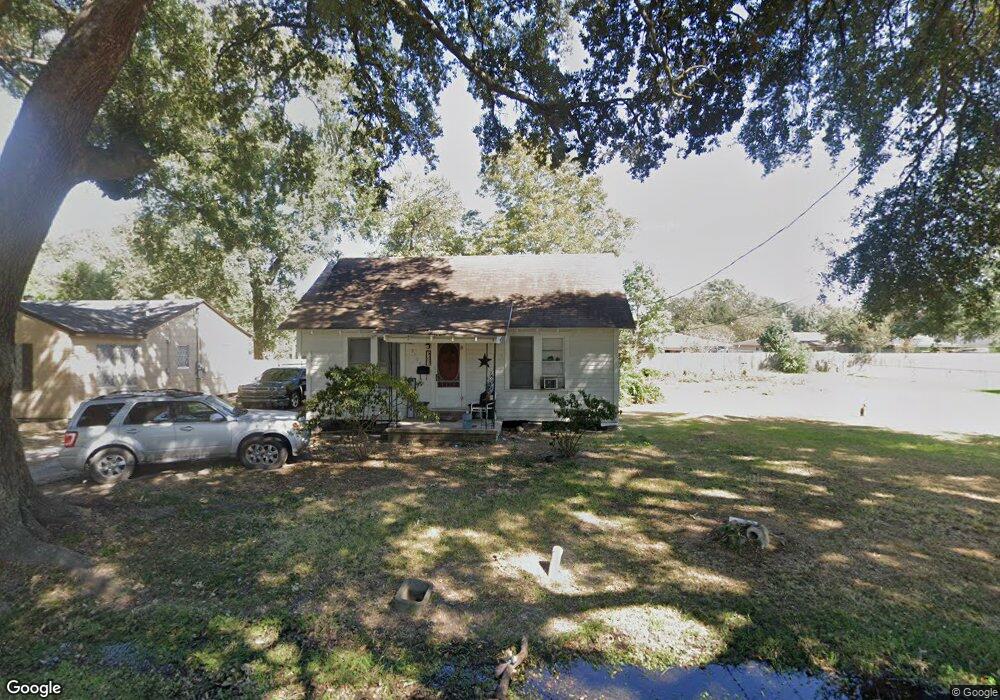
2120 Stanley Blvd Port Arthur, TX 77642
Estimated Value: $65,991 - $106,000
--
Bed
--
Bath
848
Sq Ft
$102/Sq Ft
Est. Value
About This Home
This home is located at 2120 Stanley Blvd, Port Arthur, TX 77642 and is currently estimated at $86,748, approximately $102 per square foot. 2120 Stanley Blvd is a home located in Jefferson County with nearby schools including Tyrrell Elementary School, Jefferson Middle School, and Memorial High School.
Ownership History
Date
Name
Owned For
Owner Type
Purchase Details
Closed on
Nov 20, 2017
Sold by
Woods Kathleen
Bought by
Ceron Edwin Odir Guzaman and Guzman Teresa De Jesus Damas De
Current Estimated Value
Home Financials for this Owner
Home Financials are based on the most recent Mortgage that was taken out on this home.
Original Mortgage
$30,462
Outstanding Balance
$7,644
Interest Rate
3.91%
Mortgage Type
New Conventional
Estimated Equity
$79,104
Create a Home Valuation Report for This Property
The Home Valuation Report is an in-depth analysis detailing your home's value as well as a comparison with similar homes in the area
Home Values in the Area
Average Home Value in this Area
Purchase History
| Date | Buyer | Sale Price | Title Company |
|---|---|---|---|
| Ceron Edwin Odir Guzaman | -- | None Available |
Source: Public Records
Mortgage History
| Date | Status | Borrower | Loan Amount |
|---|---|---|---|
| Open | Ceron Edwin Odir Guzaman | $30,462 |
Source: Public Records
Tax History Compared to Growth
Tax History
| Year | Tax Paid | Tax Assessment Tax Assessment Total Assessment is a certain percentage of the fair market value that is determined by local assessors to be the total taxable value of land and additions on the property. | Land | Improvement |
|---|---|---|---|---|
| 2025 | $1,705 | $68,108 | $17,770 | $50,338 |
| 2024 | $1,705 | $62,195 | $7,663 | $54,532 |
| 2023 | $1,705 | $49,611 | $7,663 | $41,948 |
| 2022 | $1,509 | $47,514 | $7,663 | $39,851 |
| 2021 | $1,436 | $43,319 | $7,663 | $35,656 |
| 2020 | $1,375 | $41,501 | $7,663 | $33,838 |
| 2019 | $1,345 | $41,500 | $7,660 | $33,840 |
| 2018 | $1,323 | $41,500 | $7,660 | $33,840 |
| 2017 | $753 | $40,480 | $7,660 | $32,820 |
| 2016 | $1,186 | $40,480 | $7,660 | $32,820 |
| 2015 | $873 | $40,480 | $7,660 | $32,820 |
| 2014 | $873 | $40,480 | $7,660 | $32,820 |
Source: Public Records
Map
Nearby Homes
- 2129 Neches Ave
- 2515 Glenwood Dr
- 4100 Dryden Rd
- 2515 Date St
- LOT 55 Royal Meadows Estate
- 2621 Evergreen Dr
- 2301 Glenwood Dr
- 4501 Springdale St
- 2325 Oaklawn Ave
- 1349 Jefferson Dr
- 3945 12th St
- 2720 Royal Ave
- 4545 Hollywood Dr
- 2615 3rd Ave
- 3812 30th St
- 4034 32nd St
- 3412 Drexel Ave
- 5301 North St
- 3049 Canal Ave
- 2323 7th Ave
- 2108 Stanley Blvd
- 2146 Stanley Blvd
- 2131 Neches Ave
- 2148 Stanley Blvd
- 2100 Stanley Blvd
- 2135 Neches Ave
- 2103 Neches Ave
- 2121 Stanley Blvd
- 2149 Neches Ave
- 2145 Stanley Blvd
- 2101 Neches Ave
- 2048 Stanley Blvd
- 2105 Stanley Blvd
- 2201 Neches Ave
- 2510 Glenwood Dr
- 2049 Neches Ave
- 2049 Stanley Blvd
- 2049 Stanley Blvd
- 2034 Stanley Blvd
- 2512 Glenwood Dr